Greenville in Wayne County, Missouri — The American Midwest (Upper Plains)
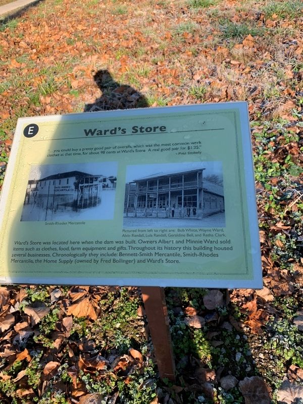
Ward's Store
Photographed by Thomas Smith, November 19, 2021
1. Ward's Store Marker
"… you could buy a pretty good pair of overalls, which was the most common work clothes at that time, for about 98 cents at Ward's Store. A real good pair for $1.25"
- Paul Stokely
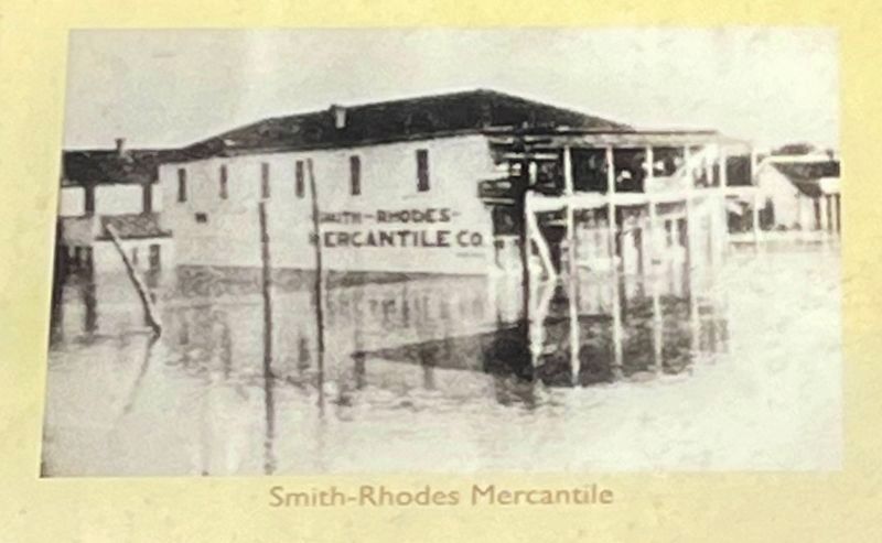
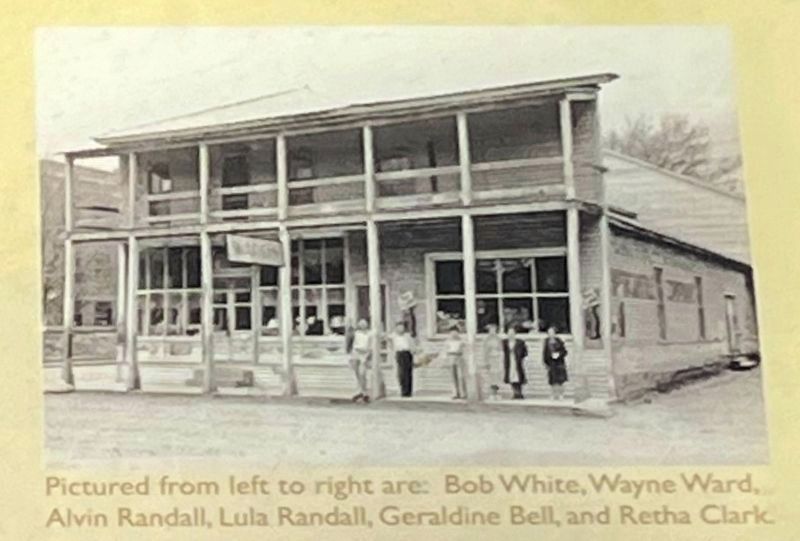
Ward's Store was located here when the dam was built. Owners Albert and Minnie Ward sold items such as clothes, food farm equipment and gifts. Throughout its history this building housed several business. Chronologically they include; Bennett-Smith Mercantile, Smith-Rhodes Mercantile, The Home Supply (owned by Fred Bollinger) and Ward's Store. (Marker Number E.)
Topics. This historical marker is listed in this topic list: Industry & Commerce.
Location. 37° 6.015′ N, 90° 27.379′ W. Marker is in Greenville, Missouri, in Wayne County. It is on U.S. 67 2 miles south of County Road 221, on the right when traveling south. Located on the "Memory Lane" trail through Old Greenville, inside the Greenville Recreation Area, Wappapello Lake. Touch for map. Marker is in this post office area: Greenville MO 63944, United States of America. Touch for directions.

Regionally, this marker is in Southeast
this page online
Other nearby markers. At least 8 other markers are within walking distance of this marker: Keep Right! (here, next to this marker); Wayne County Courthouse (a few steps from this marker); Wayne County Bank (a few steps from this marker); She Poisoned His Tomato Wine (a few steps from this marker); Harry S. Truman (within shouting distance of this marker); The Wayne County Courthouse At Old Greenville (within shouting distance of this marker); St. Francis Hotel (within shouting distance of this marker); Wilcox Service Station (within shouting distance of this marker). Touch for a list and map of all markers in Greenville.
Photographed by Craig Swain, September 28, 2022
2. Smith-Rhodes Mercantile
Photographed by Craig Swain, September 28, 2022
3. Storefront
Pictured from left to right are: Bob White, Wayne Ward, Alvin Randall, Lula Randall, Geraldine Bell, and Retha Clark.
Photographed by Craig Swain, September 28, 2022
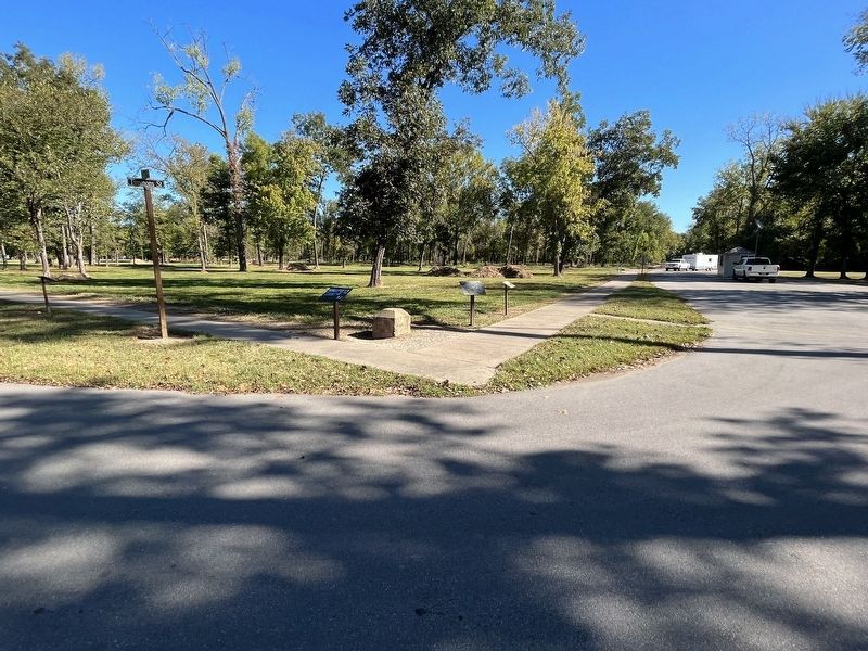
4. Intersection of Timmons and Third Street
The once busy intersection of Timmons Street and Third Street (or the Fredericktown Road). The Keep Right marker is on the left of the traffic monument. To the right is a locator map (repeated at several stations on the trail) and the Ward's Store marker.
Photographed by Craig Swain
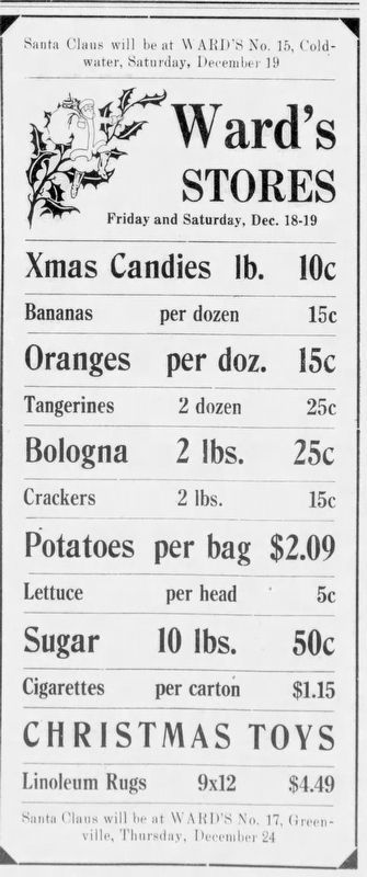
5. Santa at Ward's!
This ad from the December 17, 1936 The Greenville Sun announced a visit by Santa Claus, scheduled for Saturday, December 19. And a return visit was scheduled for December 24.
Credits. This page was last revised on November 11, 2022. It was originally submitted on November 24, 2021, by Thomas Smith of Waterloo, Ill. This page has been viewed 464 times since then and 47 times this year. Photos: 1. submitted on November 24, 2021, by Thomas Smith of Waterloo, Ill. 2, 3, 4. submitted on November 10, 2022, by Craig Swain of Leesburg, Virginia. 5. submitted on November 11, 2022, by Craig Swain of Leesburg, Virginia. • Devry Becker Jones was the editor who published this page.
