Near Mt. Vernon in Franklin County, Texas — The American South (West South Central)
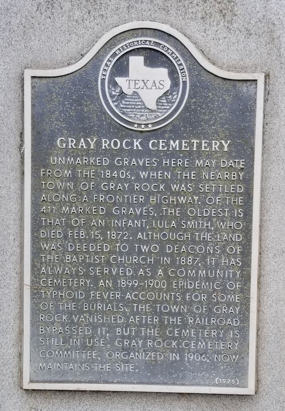
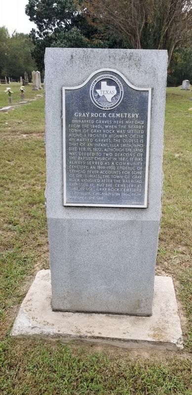
Gray Rock Cemetery
Erected 1975 by Texas Historical Commission. (Marker Number 9844.)
Topics. This historical marker is listed in this topic list: Cemeteries & Burial Sites. A significant historical date for this entry is February 15, 1872.
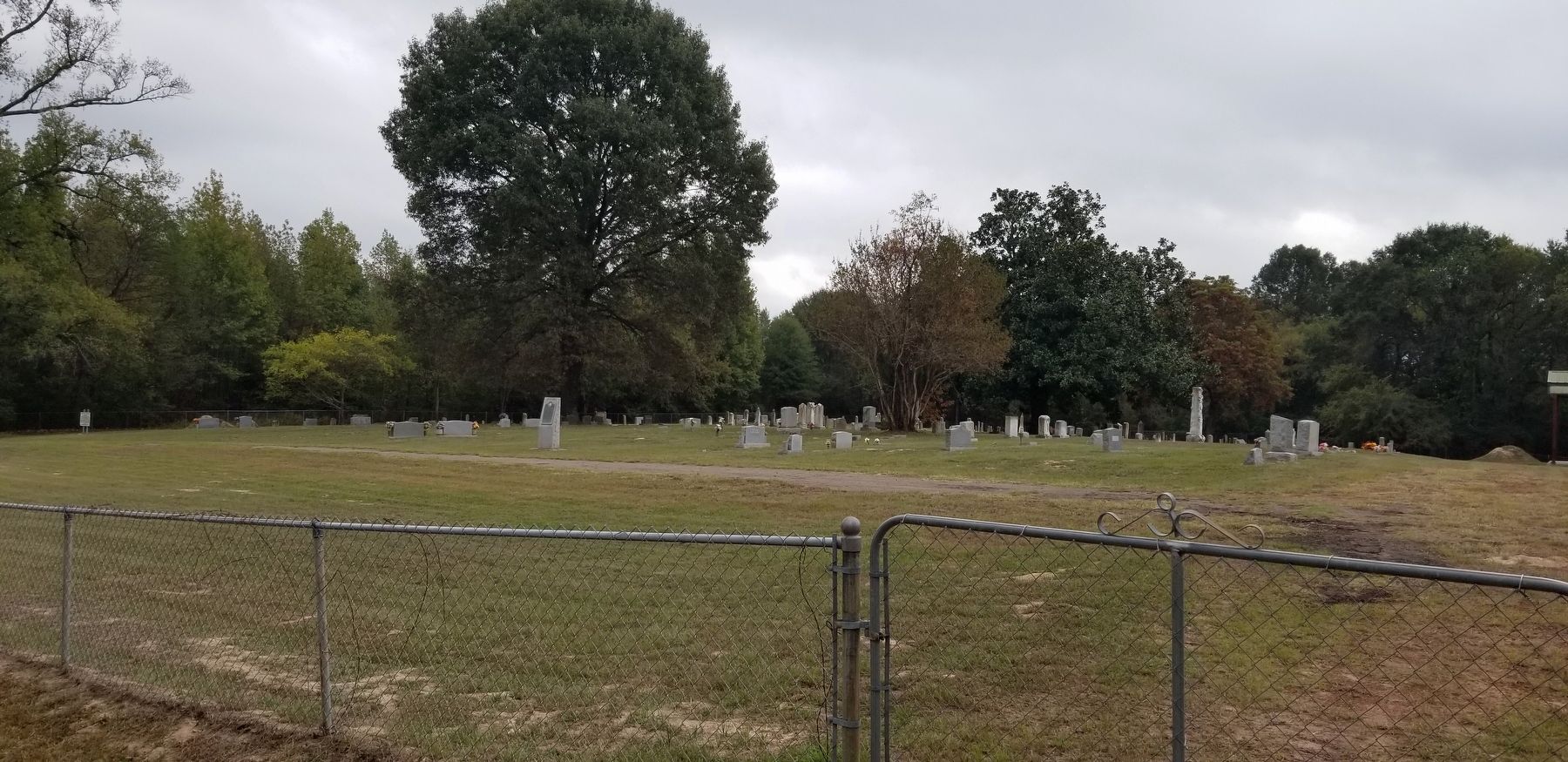
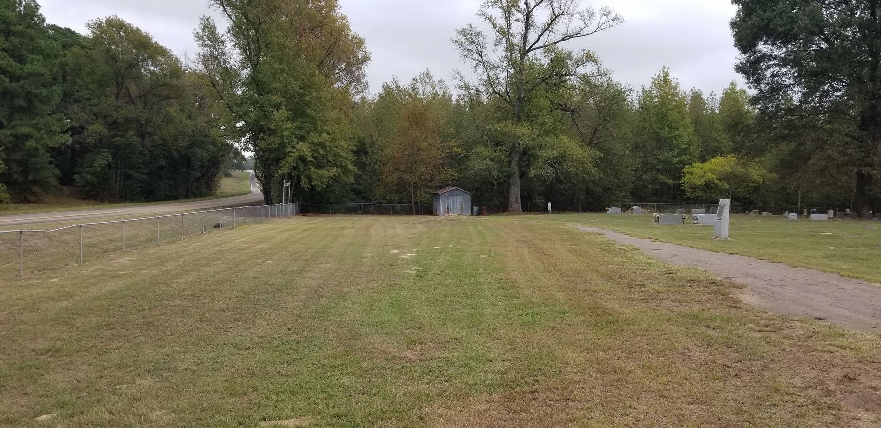
Location. 33° 9.563′ N, 95° 7.637′ W. Marker is near Mt. Vernon, Texas, in Franklin County. Marker is on Interstate 30 Frontage Road, 0.3 miles east of County Highway 4130, on the right when traveling east. The marker is located at the front of the cemetery. Touch for map. Marker is in this post office area: Mount Vernon TX 75457, United States of America. Touch for directions.
Other nearby markers. At least 8 other markers are within 6 miles of this marker, measured as the crow flies. Winfield Cemetery (approx. one mile away); Winfield Cemetery Veterans Memorial (approx. one mile away); Ripley Massacre (approx. 1.9 miles away); Historic Roadside Park (approx. 3.7 miles away); Monticello Missionary Baptist Church (approx. 5.2 miles away); Joshua Foster Johnson (approx. 5.4 miles away); Rockhill Cemetery (approx. 5˝ miles away); The Wright-Vaughan House (approx. 5.7 miles away).
Also see . . . Grayrock, TX.
Grayrock (originally Gray Rock), on Interstate Highway 30 six miles southeast of Mount Vernon in eastern Franklin County, was one of the earliest settlements in the county. The post office established there in 1848 was only the second office established in what would become Franklin County. Source: The Handbook of Texas(Submitted on November 24, 2021, by James Hulse of Medina, Texas.)
Credits. This page was last revised on November 25, 2021. It was originally submitted on November 24, 2021, by James Hulse of Medina, Texas. This page has been viewed 303 times since then and 34 times this year. Photos: 1, 2, 3, 4. submitted on November 25, 2021, by James Hulse of Medina, Texas.


