Fort Pierce in St. Lucie County, Florida — The American South (South Atlantic)
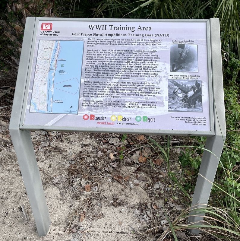
WW II Training Area
Fort Pierce Naval Amphibious Training Base (NATB)
In anticipation of operations on heavily fortified beaches in Europe and the South Pacific, the military established the 19,000 acre Fort Pierce NATB, which was active from 1943 - 1946. The site was primarily used to develop various air or water-borne methods and weapons designed to overcome enemy obstacles constructed in beach areas. Additionally, several weapons training ranges were incorporated at Fort Pierce NATB, utilizing a wide variety of munitions. Uses of the training areas ranged from a Beach Obstacle Demolition and a Bombing Range to a Firing Range complex including: Anti-aircraft Artillery Range, Rifle Range, Pistol Range, and Sub Machine Gun Range.Besides the conventional bombs, bulk explosives, and rockets the military also used various experimental explosive items in attempts to breach certain types of fortifications. Some of these munitions may still be present, and if found, should be considered a potential hazard.
Multiple investigations and removal actions have been conducted on this Formerly Used Defense Site (FUDS) to remove and dispose of munitions-related material as well as any remnant beach obstacles . There have been very few reports of munitions being found since the removal efforts. A beach or near-shore environment is a very dynamic, ever changing environment, and the possibility of a munitions related item being uncovered in the surf zone or during excavation work is still present.
Encountering ordinance here is unlikely. However, if you see an item that is unfamiliar, Recognize the potential danger, Retreat - leave the area immediately, and Do Not Touch the item, Report the item - call 911.
Erected by US Army Corps of Engineers.
Topics. This memorial is listed in these topic lists: War, World II • Waterways & Vessels.
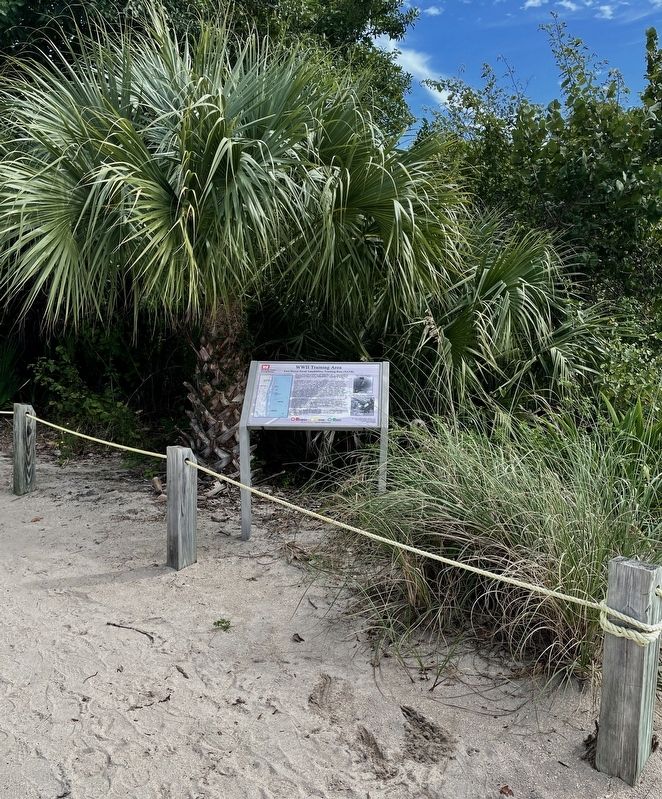
Location. 27° 29.785′ N, 80° 18.002′ W. Marker is in Fort Pierce, Florida, in St. Lucie County. Memorial can be reached from Florida Route N A1A, 0.3 miles south of Jackson Way, on the left when traveling south. Markerlocated behind the National Navy UDT-Seal Museum at the entrance to the beach access. Touch for map. Marker is at or near this postal address: 3300 N Hwy A1A, Fort Pierce FL 34949, United States of America. Touch for directions.
Other nearby markers. At least 8 other markers are within walking distance of this marker. SOC-R Special Operations Craft-Riverine (within shouting distance of this marker); O Course (about 300 feet away, measured in a direct line); Medal of Honor Statue (about 300 feet away); a different marker also named Medal of Honor Statue (about 300 feet away); Mk V Special Operations Craft [SOC] (about 300 feet away); The Button (about 300 feet away); Combatant Craft Assault (CCA) (about 400 feet away); SOC-6 Special Operations Craft-6 (about 400 feet away). Touch for a list and map of all markers in Fort Pierce.
Also see . . . Florida's WWII training left untold hazards for oil speculators. (Submitted on November 25, 2021, by Brandon D Cross of Flagler Beach, Florida.)
Credits. This page was last revised on November 26, 2021. It was originally submitted on November 25, 2021, by Brandon D Cross of Flagler Beach, Florida. This page has been viewed 309 times since then and 48 times this year. Photos: 1, 2. submitted on November 25, 2021, by Brandon D Cross of Flagler Beach, Florida. • Bernard Fisher was the editor who published this page.

