Helena in Lewis and Clark County, Montana — The American West (Mountains)
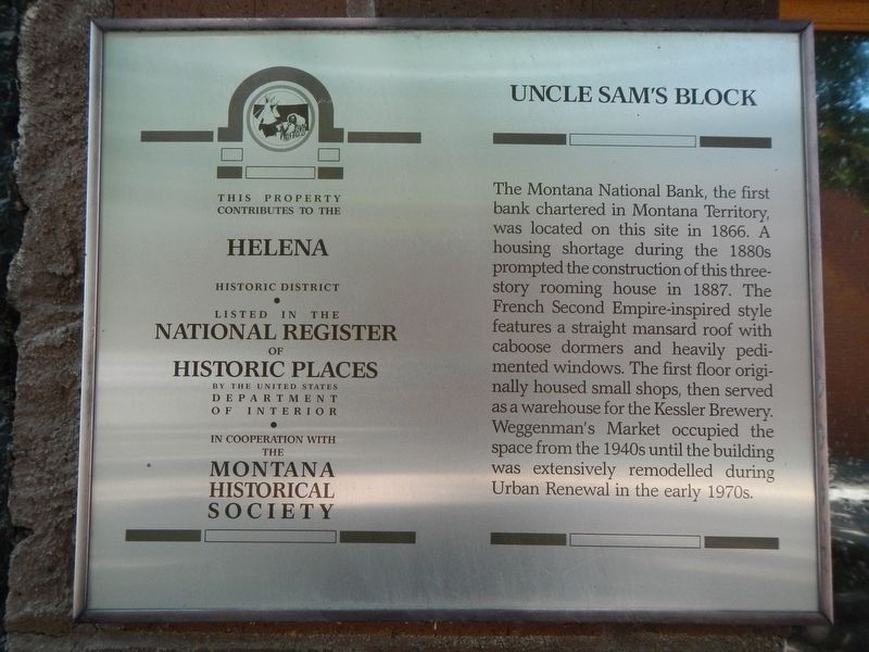
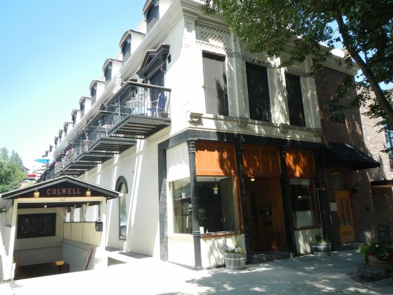
Uncle Sam's Block
Helena Historic District
Photographed by Barry Swackhamer, July 14, 2021
1. Uncle Sam's Block Marker
Erected by Montana Historical Society.
Topics and series. This historical marker is listed in these topic lists: Industry & Commerce • Notable Buildings. In addition, it is included in the Montana National Register Sign Program series list.
Location. 46° 35.145′ N, 112° 2.447′ W. Marker is in Helena, Montana, in Lewis and Clark County. It is on South Last Chance Gulch near East Broadway Street, on the left when traveling north. This portion of Last Chance Gulch is a pedestrian mall and is closed
this page online

Regionally, this marker is in andspecifically entral Montana in Gold West Country. It is also in the American Mountain West and in the Lewis & Clark Corridor. Globally, it is in North America, the Rocky Mountains, the Western Hemisphere, the Western World, and the Anglosphere. Historically, it finds itself in what was once Rupert’s Land and also the Louisiana Purchase.
Other nearby markers. At least 8 other markers are within walking distance of this marker: California Wine House (within shouting distance of this marker); Earthquakes of 1935 (within shouting distance of this marker); The Discovery at Last Chance Gulch (within shouting distance of this marker); Boston Block (within shouting distance of this marker); Dunphy Block (within shouting distance of this marker); Sands Brothers Dry Goods (within shouting distance of this marker); Raleigh and Clarke Dry Goods (within shouting distance of this marker); St. Louis Block (about 300 feet away, measured
Photographed by Barry Swackhamer, July 14, 2021
2. Uncle Sam's Block and Marker
Credits. This page was last revised on November 25, 2021. It was originally submitted on November 25, 2021, by Barry Swackhamer of Brentwood, California. This page has been viewed 232 times since then and 16 times this year. Photos: 1, 2. submitted on November 25, 2021, by Barry Swackhamer of Brentwood, California.
