
Helena in Lewis and Clark County, Montana — The American West (Mountains)
The Founding of Helena
Photographed by Barry Swackhamer, July 14, 2021
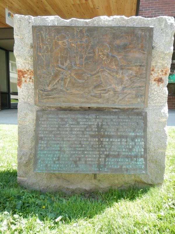
1. The Founding of Helena Marker
Fortunes were made with the gold pan, but the aristocrat of the camp was the miner who had a "rocker made of boards or a "sluice box". As larger gulch sections were worked huge mechanical dredged churned up the valley in search of deep lying deposits.
Much of the city is built on previously rich placer diggings and traffic down Main Street now wheels over what once lured men into the (frenzied ?) rush for wealth.
Topics. This historical marker is listed in this topic list: Settlements & Settlers.
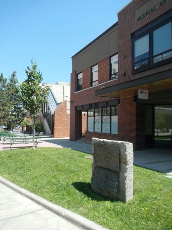
Location. 46° 35.079′ N, 112° 2.552′ W. Marker is in Helena, Montana, in Lewis and Clark County. It can be reached from South Last Chance Gulch near East Broadway Street. This portion of Last Chance Gulch is a pedestrian mall and is closed to vehicular traffic. The marker is located
this page online

Regionally, this marker is in andspecifically entral Montana in Gold West Country. It is also in the American Mountain West and in the Lewis & Clark Corridor. Globally, it is in North America, the Rocky Mountains, the Western Hemisphere, the Western World, and the Anglosphere. Historically, it finds itself in what was once Rupert’s Land and also the Louisiana Purchase.
Other nearby markers. At least 8 other markers are within walking distance of this marker: Broadwater Resort (within shouting distance of this marker); Pioneer Cabin on Last Chance Gulch (within shouting distance of this marker); Pioneer Cabin (within shouting distance of this marker); Caretaker's Cabin (within shouting distance of this marker); Reeder's Alley (within shouting distance of this marker); "The Pioneer Cabin" (within shouting distance of this marker); a different marker also named Reeder's Alley (about 300 feet away, measured in a direct line); Reeder's Alley Survived the Test
Photographed by Barry Swackhamer, July 14, 2021
2. The Founding of Helena Marker
Also see . . . The History of Helena, Montana -- Big Sky Fishing.com. The name Helena for the new town did not arrive overnight. Initially, the new town had a less-than-inspiring name of Crabtown, named after one of the four Georgians who found gold. Soon, though, other names were bounced around, including Pumpkinville and Squashtown. (Submitted on November 26, 2021, by Barry Swackhamer of Brentwood, California.)
Credits. This page was last revised on November 26, 2021. It was originally submitted on November 26, 2021, by Barry Swackhamer of Brentwood, California. This page has been viewed 389 times since then and 15 times this year. Photos: 1, 2. submitted on November 26, 2021, by Barry Swackhamer of Brentwood, California.
