Gloucester Point in Gloucester County, Virginia — The American South (Mid-Atlantic)
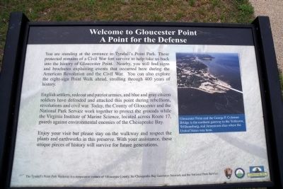
Welcome to Gloucester Point
A Point for the Defense
English settlers, redcoat and patriot armies, and blue and gray citizen soldiers have defended and attacked this point during rebellions, revolutions and civil war. Today, the County of Gloucester and the National Park Service work together to protect the grounds while the Virginia Institute of Marine Science, located across Route 17, guards against environmental enemies of the Chesapeake Bay.
Enjoy your visit but please stay on the walkway and respect the plants and earthworks in this preserve. With your assistance, these unique pieces of history will survive for future generations.
The Tyndallís Point Park Walkway is a cooperative venture of Gloucester County, the Chesapeake Bay Gateways Network and the National Park Service.
Erected by Gloucester County, Chesapeake Bay Gateways Network, National Park Service.
Topics. This historical marker is listed in these topic lists: Forts and Castles • War, US Civil • War, US Revolutionary.
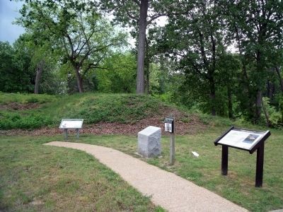
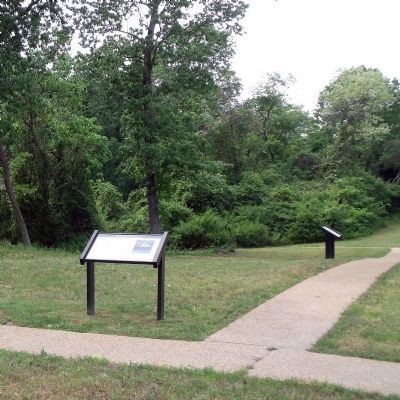
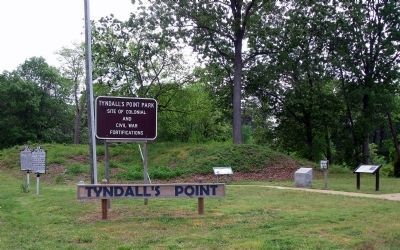
Location. 37° 15.025′ N, 76° 30.085′ W. Marker is in Gloucester Point, Virginia, in Gloucester County. Marker is on Vernon Street near Riverview Street, on the right when traveling south. The marker is located at the entrance to Tyndall's Point Park. Touch for map. Marker is at or near this postal address: 1376 Vernon Street, Gloucester Point VA 23062, United States of America. Touch for directions.
Other nearby markers. At least 8 other markers are within walking distance of this marker. After the Surrender at Yorktown (here, next to this marker); Gloucester Point (here, next to this marker); a different marker also named Gloucester Point (a few steps from this marker); Early Land Patent (a few steps from this marker); Natives, Explorers, Tobacco and Buccaneers (a few steps from this marker); Parts of a Parrott Rifle (a few steps from this marker); A Vital British Outpost at Gloucester Point (a few steps from this marker); The British Safety Valve (a few steps from this marker). Touch for a list and map of all markers in Gloucester Point.
More about this marker. On the right is an aerial photo with the caption, "Gloucester Point and the George P. Coleman Bridge is the northern gateway to the Yorktown, Williamsburg, and Jamestown sites where the United States was born."
Credits. This page was last revised on June 16, 2016. It was originally submitted on May 7, 2009, by Bernard Fisher of Richmond, Virginia. This page has been viewed 949 times since then and 15 times this year. Photos: 1, 2, 3, 4. submitted on May 7, 2009, by Bernard Fisher of Richmond, Virginia.


