Downtown in Boston in Suffolk County, Massachusetts — The American Northeast (New England)
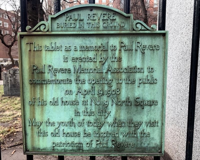
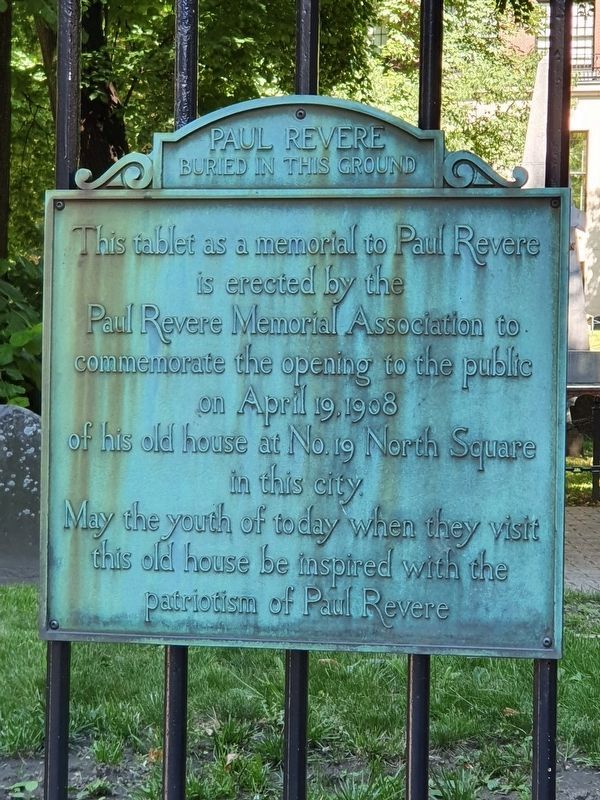
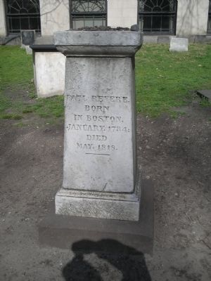
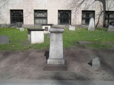
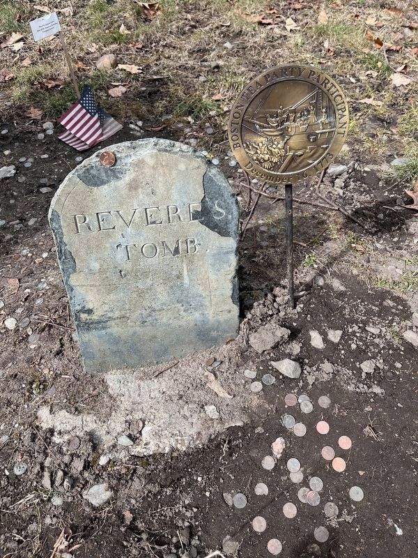
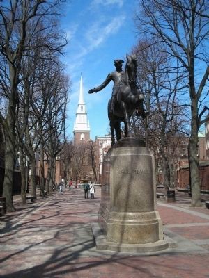
Paul Revere Buried in this Ground
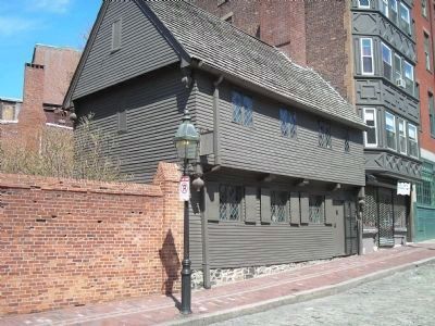
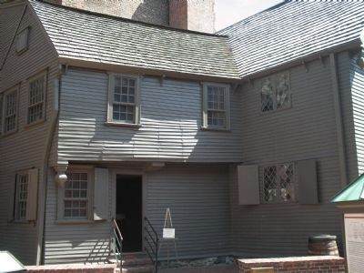
This tablet as a memorial to Paul Revere is erected by the Paul Revere Memorial Association to commemorate the opening to the public on April 19, 1908 of his old house at No. 19 North Square in this city.
May the youth of today when they visit this old house be inspired with the patriotism of Paul Revere.
Topics. This historical marker is listed in these topic lists: Cemeteries & Burial Sites • Patriots & Patriotism. A significant historical month for this entry is April 1873.
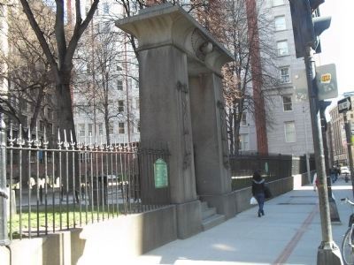
Location. 42° 21.434′ N, 71° 3.682′ W. Marker is in Boston, Massachusetts, in Suffolk County. It is in Downtown. Marker is at the intersection of Tremont Street and Bromfield Street, on the left when traveling north on Tremont Street. Marker is located at the entrance to the Granary Burying Ground. Touch for map. Marker is in this post office area: Boston MA 02108, United States of America. Touch for directions.
Other nearby markers. At least 8 other markers are within walking distance of this marker. Granary Burying Ground (here, next to this marker); Granary Burial Ground (here, next to this marker); John Phillips (here, next to this marker); John Smibert (here, next to this marker); Victims of the Boston Massacre (a few steps from this marker); Samuel Adams (a few steps from this marker); James Otis (within shouting distance of this marker); Josiah and Abiah Franklin (within shouting distance of this marker). Touch for a list and map of all markers in Boston.
Related markers. Click here for a list of markers that are related to this marker. Take a tour of the markers found along the walking trail in Boston’s Granary Burying Ground.
Also see . . .
1. A Biography of Paul Revere. The American Revolution Home Page. (Submitted on May 7, 2009, by Bill Coughlin of Woodland Park, New Jersey.)
2. Granary Burying Ground. Details of the Freedom Trail from the City of Boston website. (Submitted on May 7, 2009, by Bill Coughlin of Woodland Park, New Jersey.)
Credits. This page was last revised on April 2, 2024. It was originally submitted on May 7, 2009, by Bill Coughlin of Woodland Park, New Jersey. This page has been viewed 2,755 times since then and 50 times this year. Photos: 1. submitted on March 30, 2024, by Marc Posner of Somerville, Massachusetts. 2. submitted on May 7, 2009, by Bill Coughlin of Woodland Park, New Jersey. 3. submitted on July 1, 2021, by J. Makali Bruton of Accra, Ghana. 4, 5, 6, 7, 8. submitted on May 7, 2009, by Bill Coughlin of Woodland Park, New Jersey. 9. submitted on March 29, 2023, by Jana Apergis of Bristol, Connecticut. 10. submitted on May 7, 2009, by Bill Coughlin of Woodland Park, New Jersey.
