Fort Washington in Prince George's County, Maryland — The American Northeast (Mid-Atlantic)
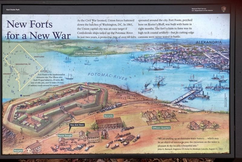
New Forts for a New War
Fort Foote Park
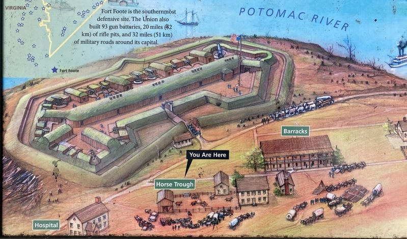
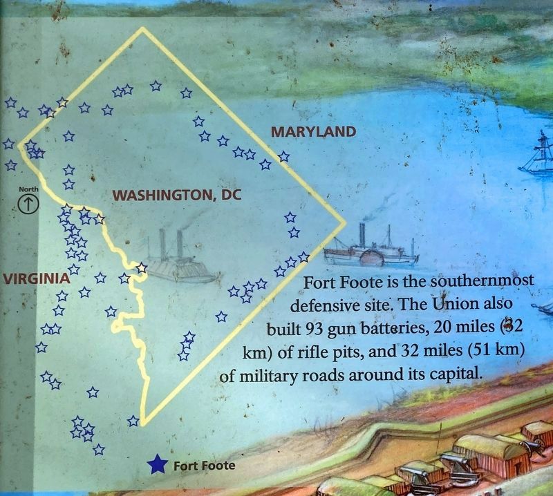
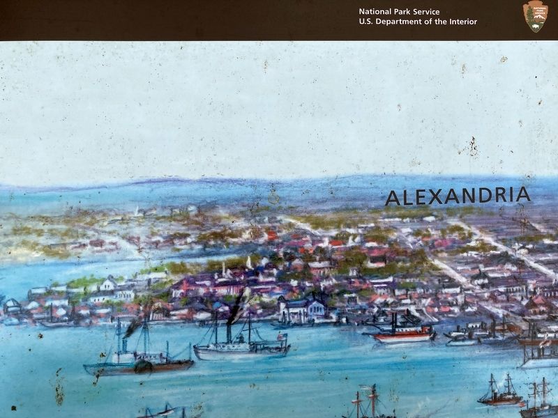
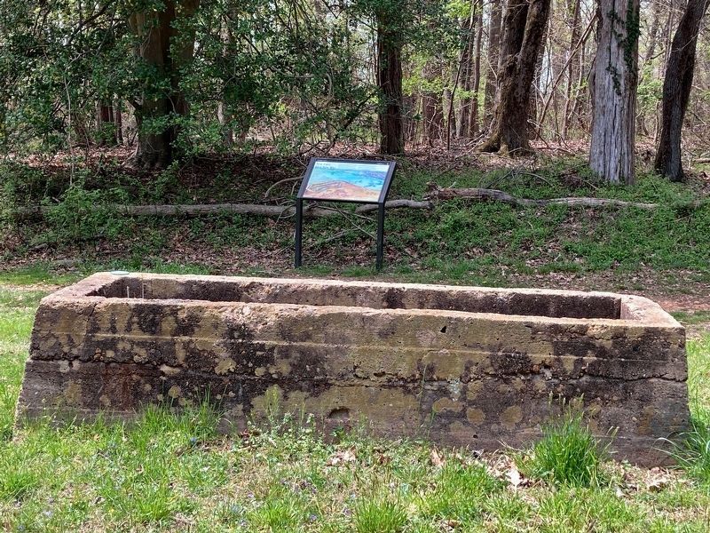
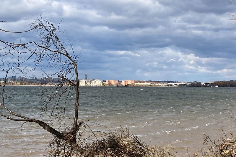
Fort Foote is the southernmost defensive site. The Union also built 93 gun batteries, 20 miles (32 km) of rifle pits, and 32 miles (51 km) of military roads around its capital.
“We are putting up an extensive water battery... which may be an object of interest to you: the excursion on the water is pleasant & the locality a beautiful one.”
John G. Barnard, Engineer, US Army to Abraham Lincoln, August 13, 1863
Erected by National Park Service, U.S. Department of the Interior.
Topics. This historical marker is listed in these topic lists: Forts and Castles • War, US Civil.
Location. 38° 46.113′ N, 77° 1.678′ W. Marker is in Fort Washington, Maryland, in Prince George's County. Marker can be reached from the intersection of Fort Foote Road and Jessica Drive, on the right when traveling south. Located in Fort Foote Park. Touch for map. Marker is at or near this postal address: 8915 Fort Foote Rd, Fort Washington MD 20744, United States of America. Touch for directions.
Other nearby markers. At least 8 other markers are within one mile of this marker, measured as the crow flies. Reporting for Duty (within shouting distance of this marker); Another Shot (about 400 feet away, measured in a direct line); Engineering Evolution (about 400 feet away); Ironclad Killer (about 400 feet away); Load. Ready. Fire! (about 500 feet away); Capital View (about 500 feet away); Welcome To Fort Foote (about 500 feet away); A Fine Improvable Marsh (approx. one mile away in Virginia). Touch for a list and map of all markers in Fort Washington.
Related marker. Click here for another marker that is related to this marker. Old Marker At This Location titled "Fort Foote".
Also see . . . Fort Foote. National Park Service (Submitted on November 30, 2021.)
Credits. This page was last revised on April 19, 2022. It was originally submitted on November 30, 2021, by Allen C. Browne of Silver Spring, Maryland. This page has been viewed 138 times since then and 21 times this year. Photos: 1, 2, 3, 4, 5. submitted on November 30, 2021, by Allen C. Browne of Silver Spring, Maryland. 6. submitted on April 17, 2022, by Allen C. Browne of Silver Spring, Maryland. 7. submitted on November 30, 2021, by Allen C. Browne of Silver Spring, Maryland. • Bernard Fisher was the editor who published this page.
