Archer City in Archer County, Texas — The American South (West South Central)
Archer County Discovery Well
(Approximately 13 mi. SE.)

Photographed by Gary Estep, October 26, 2025
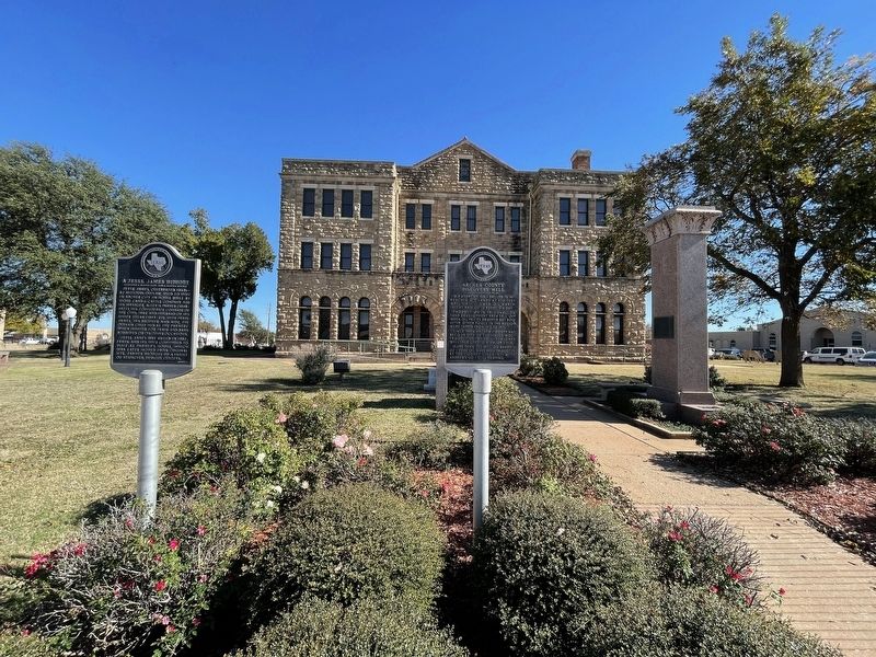
1. Archer County Discovery Well Marker
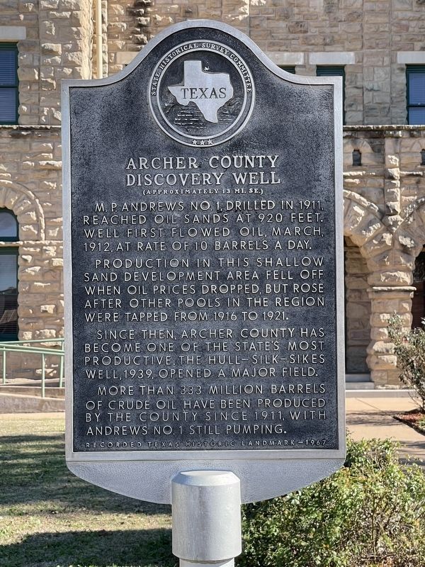
M. P. Andrews No. 1, drilled in 1911, reached oil sands at 920 feet. Well first flowed oil, March, 1912, at rate of 10 barrels a day.
Production in this shallow sand development area fell off when oil prices dropped, but rose after other pools in the region were tapped from 1916 to 1921.
Since then, Archer County has become one of the state's most productive. The Hull-Silk-Sikes Well, 1939, opened a major field.
More than 333 million barrels of crude oil have been produced by the county since 1911, with Andrews No. 1 still pumping.
Recorded Texas Historic Landmark-1967
Erected 1967 by State Historical Survey Committee. (Marker Number 192.)
Topics. This historical marker is listed in this topic list: Industry & Commerce. A significant historical month for this entry is March 1912.
Location. 33° 35.711′ N, 98° 37.535′ W. Marker is in Archer City, Texas, in Archer County. It is on South Center Street (State Highway 79), on the right when traveling north. Touch for map. Marker is at or near this postal address: 100 South Center Street, Archer City TX 76351, United States of America. Touch for directions.

Regionally, this
this page online
Other nearby markers. At least 8 other markers are within 6 miles of this marker, measured as the crow flies: A Jesse James Hideout (here, next to this marker); Camp Cureton, C.S.A. (here, next to this marker); Sheriff E. Harrison Ikard (here, next to this marker); Branch T. Archer (about 300 feet away, measured in a direct line); Archer City Methodist Church (about 500 feet away); First Baptist Church of Archer City (about 600 feet away); Archer County Jail (about 600 feet away); Archer County Copper Mines (approx. 5.9 miles away). Touch for a list and map of all markers in Archer City.
Photographed by Brian Anderson, November 23, 2021
2. Archer County Discovery Well Marker
Photographed by Brian Anderson, November 23, 2021
3. Archer County Discovery Well Marker
Credits. This page was last revised on October 31, 2025. It was originally submitted on November 30, 2021, by Brian Anderson of New Albany, Ohio. This page has been viewed 669 times since then and 74 times this year. Photos: 1. submitted on October 27, 2025, by Gary Estep of Anna, Texas. 2, 3. submitted on November 30, 2021, by Brian Anderson of New Albany, Ohio.
