Archer City in Archer County, Texas — The American South (West South Central)
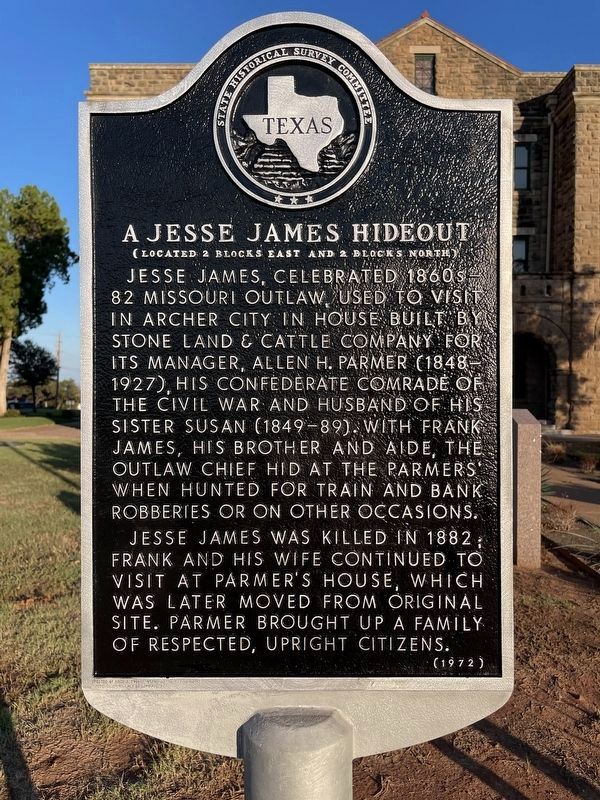
A Jesse James Hideout
(Located 2 Blocks East and 2 Blocks North)
Photographed by Gary Estep, October 26, 2025
1. A Jesse James Hideout Marker
Jesse James was killed in 1882; Frank and his wife continued to visit at Parmer's house, which was later moved from original site. Parmer brought up a family of respected, upright citizens.
Erected 1972 by State Historical Survey Committee. (Marker Number 44.)
Topics. This historical marker is listed in this topic list: Notable Places.
Location. 33° 35.711′ N, 98° 37.535′ W. Marker is in Archer City, Texas, in Archer County. It is on South Center Street (State Highway 79), on the right when traveling north. Touch for map. Marker is at or near this postal address: 100 South Center Street, Archer City TX 76351, United States of America. Touch for directions.

Regionally,
this page online
Other nearby markers. At least 8 other markers are within 6 miles of this marker, measured as the crow flies: Archer County Discovery Well (here, next to this marker); Camp Cureton, C.S.A. (here, next to this marker); Sheriff E. Harrison Ikard (a few steps from this marker); Branch T. Archer (about 300 feet away, measured in a direct line); Archer City Methodist Church (about 500 feet away); First Baptist Church of Archer City (about 600 feet away); Archer County Jail (about 600 feet away); Archer County Copper Mines (approx. 5.9 miles away). Touch for a list and map of all markers in Archer City.
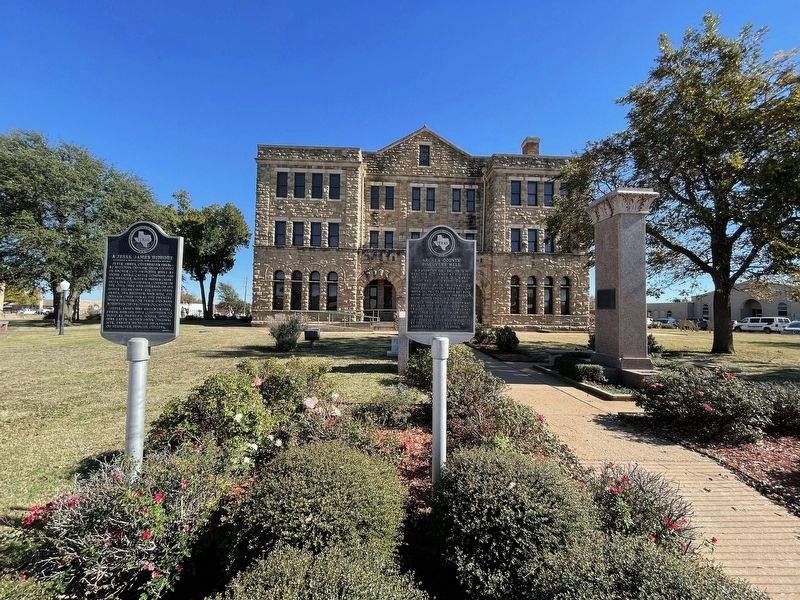
Photographed by Brian Anderson, November 23, 2021
2. A Jesse James Hideout Marker
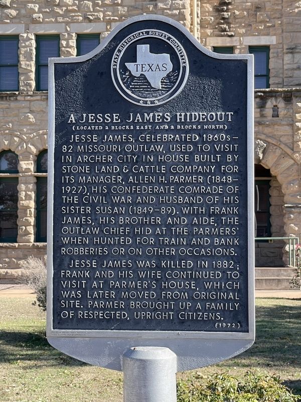
Photographed by Brian Anderson, November 23, 2021
3. A Jesse James Hideout Marker
Credits. This page was last revised on October 31, 2025. It was originally submitted on November 30, 2021, by Brian Anderson of New Albany, Ohio. This page has been viewed 1,848 times since then and 231 times this year. Photos: 1. submitted on October 27, 2025, by Gary Estep of Anna, Texas. 2, 3. submitted on November 30, 2021, by Brian Anderson of New Albany, Ohio.
