Near Olney in Archer County, Texas — The American South (West South Central)
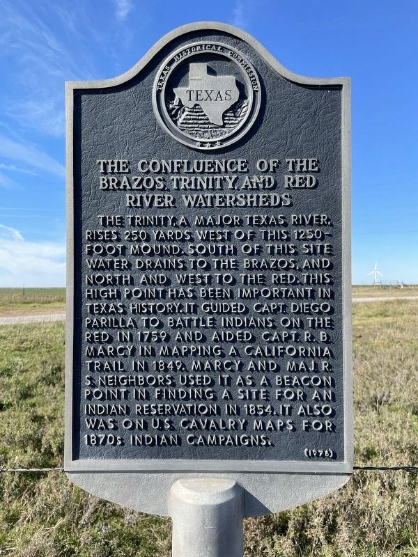
The Confluence of the Brazos, Trinity, and Red River Watersheds
Inscription.
The Trinity, a major Texas river rises 250 yards west of this 1250-foot mound. South of this site water drains to the Brazos, and north and west to the Red. This high point has been important in Texas history. It guided Capt. Diego Parilla to battle Indians on the Red in 1759 and aided Capt. R. B. Marcy in mapping a California trail in 1849. Marcy and Maj. R. S. Neighbors used it as a beacon point in finding a site for an Indian reservation in 1854. It also was on U.S. Cavalry maps for 1870s Indian campaigns.
Erected 1976 by Texas Historical Commission. (Marker Number 5313.)
Topics. This historical marker is listed in this topic list: Waterways & Vessels.
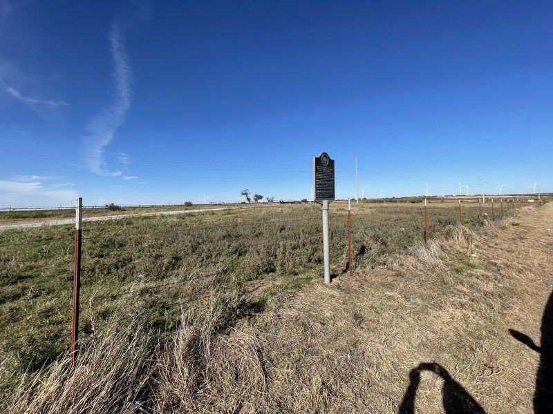
Location. 33° 24.59′ N, 98° 44.105′ W. Marker is near Olney, Texas, in Archer County. Marker is on State Highway 79, 0.1 miles east of Hilton Road, on the right when traveling south. Touch for map. Marker is in this post office area: Olney TX 76374, United States of America. Touch for directions.
Other nearby markers. At least 8 other markers are within 15 miles of this marker, measured as the crow flies. Extinct Town of Anarene (approx. 6˝ miles away); Archer County (approx. 8˝ miles away); Megargel (approx. 11˝ miles away); On Route of the Comanche Exodus (approx. 11˝ miles away); In Vicinity of French Trading Area (approx. 12 miles away); Sheriff E. Harrison Ikard (approx. 14.3 miles away); Archer County Discovery Well (approx. 14.3 miles away); Camp Cureton, C.S.A. (approx. 14.3 miles away).
Credits. This page was last revised on November 30, 2021. It was originally submitted on November 30, 2021, by Brian Anderson of Humble, Texas. This page has been viewed 545 times since then and 146 times this year. Photos: 1, 2. submitted on November 30, 2021, by Brian Anderson of Humble, Texas.

