Near Seymour in Baylor County, Texas — The American South (West South Central)
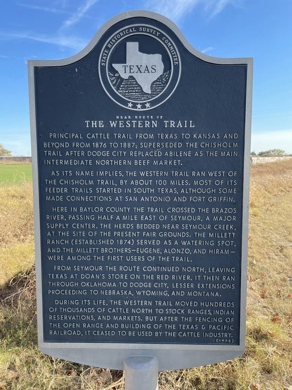
Near Route of The Western Trail
As its name implies, the Western Trail ran west of the Chisholm Trail, by about 100 miles. Most of its feeder trails started in South Texas, although some made connections at San Antonio and Fort Griffin.
Here in Baylor County the trail crossed Brazos River, passing half a mile east of Seymour, a major supply center. The herds bedded near Seymour Creek, at the site of the present fair grounds. The Millett Ranch (established 1874) served as a watering spot, and the Millett Brothers - Eugene, Alzono, and Hiram - were among the first users of the trail.
From Seymour the route continued north, leaving Texas at Doan's Store on the Red River. It then ran through Oklahoma to Dodge City, lesser extensions proceeding to Nebraska, Wyoming, and Montana.
During its life, the Western Trail moved hundreds of thousands of cattle north to stock ranges, Indian reservations, and markets. But after the fencing of the open range and building of the Texas & Pacific Railroad, it ceased to be used by the cattle industry.
Erected 1972 by State Historical Survey Committee. (Marker Number 5766.)
Topics. This historical marker is listed in this topic list: Roads & Vehicles.
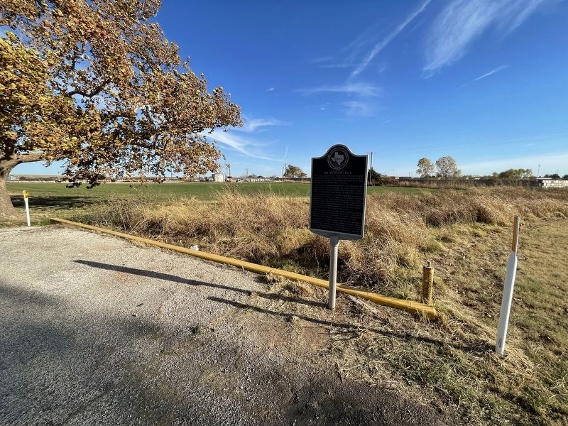
Location. 33° 36.685′ N, 99° 15.239′ W. Marker is near Seymour, Texas, in Baylor County. Marker is on U.S. 82, 0.7 miles west of U.S. 183, on the right when traveling east. Touch for map. Marker is in this post office area: Seymour TX 76380, United States of America. Touch for directions.
Other nearby markers. At least 4 other markers are within 12 miles of this marker, measured as the crow flies. First Christian Church of Seymour (approx. 1.4 miles away); Early Community Building (approx. 1.6 miles away); Baylor County (approx. 1.7 miles away); St. John Catholic Church (approx. 12.1 miles away).
Also see . . . Western Trail - The Handbook of Texas Online. Texas State Historical Association (TSHA) (Submitted on November 30, 2021, by Brian Anderson of Humble, Texas.)
Credits. This page was last revised on January 21, 2022. It was originally submitted on November 30, 2021, by Brian Anderson of Humble, Texas. This page has been viewed 174 times since then and 39 times this year. Photos: 1, 2. submitted on November 30, 2021, by Brian Anderson of Humble, Texas.

