Sayre in Beckham County, Oklahoma — The American South (West South Central)
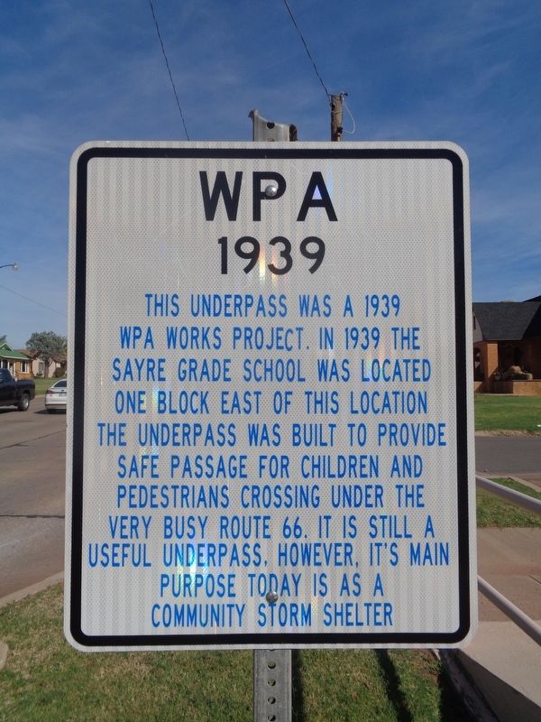
WPA
1939
Topics and series. This historical marker is listed in these topic lists: Education • Roads & Vehicles. In addition, it is included in the U.S. Route 66 series list. A significant historical year for this entry is 1939.
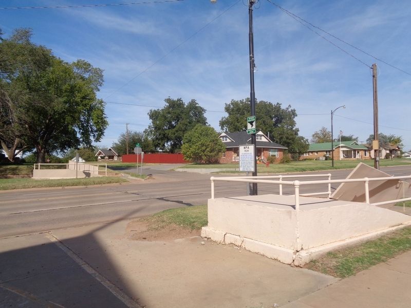
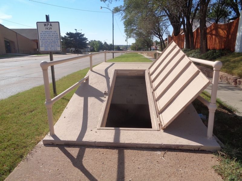
Location. 35° 17.801′ N, 99° 38.397′ W. Marker is in Sayre, Oklahoma, in Beckham County. Marker is at the intersection of North 4th Street (U.S. 283) and Elm Avenue, on the right when traveling north on North 4th Street. Marker is outside First Baptist Church and the east entrance of the tunnel. Touch for map. Marker is at or near this postal address: 504 N 4th St, Sayre OK 73662, United States of America. Touch for directions.
Other nearby markers. At least 8 other markers are within 14 miles of this marker, measured as the crow flies. Beckham County Veterans Memorial (approx. 0.4 miles away); Beckham County Courthouse (approx. 0.4 miles away); Delhi (approx. 8.7 miles away); Sandstone Creek Area (approx. 11.9 miles away); National Route 66 Museum and Old Town Museum Complex, Elk City, Oklahoma (approx. 13.9 miles away); Road Grader (approx. 13.9 miles away); Gas Pump (approx. 14 miles away); 018 Cowtown (approx. 14 miles away). Touch for a list and map of all markers in Sayre.
More about this marker. A duplicate marker is across the road by the west entrance of the tunnel.
Credits. This page was last revised on December 2, 2021. It was originally submitted on December 2, 2021, by Jason Voigt of Glen Carbon, Illinois. This page has been viewed 389 times since then and 52 times this year. Photos: 1, 2, 3. submitted on December 2, 2021, by Jason Voigt of Glen Carbon, Illinois.


