Weatherford in Parker County, Texas — The American South (West South Central)
Weatherford Post Office
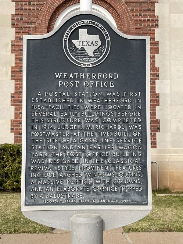
Photographed by Brian Anderson, November 26, 2021
1. Weatherford Post Office Marker
Erected 1988 by Texas Historical Commission. (Marker Number 5732.)
Topics. This historical marker is listed in this topic list: Notable Buildings. A significant historical year for this entry is 1914.
Location. 32° 45.547′ N, 97° 47.756′ W. Marker is in Weatherford, Texas, in Parker County. It is at the intersection of Fort Worth Highway (U.S. 180) and North Elm Street, on the right when traveling west on Fort Worth Highway. Touch for map. Marker is at or near this postal address: 117 Fort Worth Highway, Weatherford TX 76086, United States of America. Touch for directions.

Regionally, this marker is
this page online
Other nearby markers. At least 8 other markers are within walking distance of this marker: Parker County, C.S.A. (about 300 feet away, measured in a direct line); Parker County Confederate Veterans Memorial (about 400 feet away); Parker County Courthouse (about 400 feet away); Merchants and Farmers State Bank (about 400 feet away); Citizens National Bank (about 500 feet away); Weatherford (about 600 feet away); Franco-Texan Land Company Building (about 800 feet away); a different marker also named Parker County (approx. 0.2 miles away). Touch for a list and map of all markers in Weatherford.
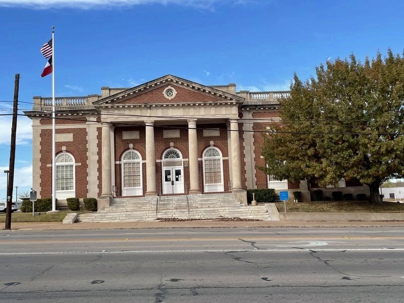
Photographed by Brian Anderson, November 26, 2021
2. Weatherford Post Office
Credits. This page was last revised on December 2, 2021. It was originally submitted on December 2, 2021, by Brian Anderson of New Albany, Ohio. This page has been viewed 879 times since then and 138 times this year. Photos: 1, 2. submitted on December 2, 2021, by Brian Anderson of New Albany, Ohio.
