Cincinnati in Hamilton County, Ohio — The American Midwest (Great Lakes)
The History Behind the Mt. Adams Steps Pathway
Inscription.
Historic Arch and Ellipse
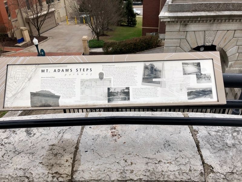
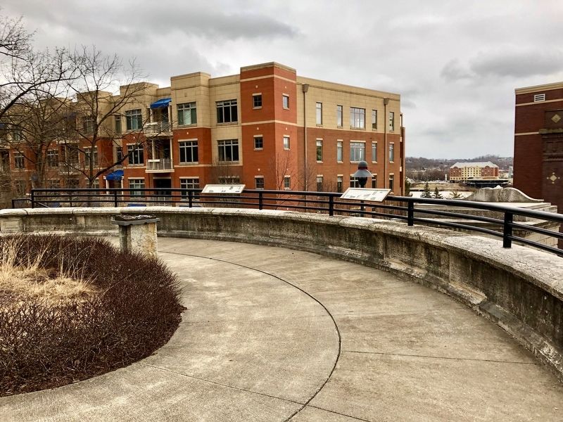
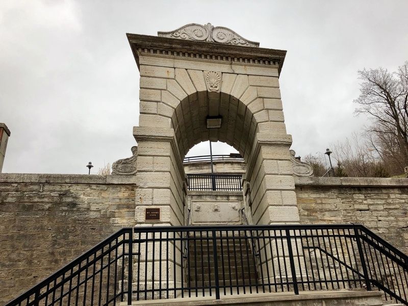
Constructed circa 1853, the entrance of these steps includes a Classical Revival stone arch that leads to an elliptical plaza. The arched gateway was fabricated from Dayton hard limestone, quarried from Dayton, Ohio. Designed by French engineers, the arch and the bottom flights of steps are on a different axis than the upper flights of steps and retaining wall. Each exterior stone on the outer walls of the arch and steps had to be cut to conform to a unique angle. The retaining wall behind the arch has three weathered remains of Roman heads that were carved into the wall. The curved stairways then lead to the upper level where there is an elliptical terrace. At one time, a fountain was in the center of the ellipse.
Riverview Playground
This arched entrance was originally incorporated into the Third Street Reservoir which was part of the early Cincinnati water system. The Third Street Reservoir was the only city water source until the 1870's; it was abandoned in 1907 with the construction of the Eastern Avenue and California Pumping Stations. The site to the west of the reservoir by Kilgour and Third Streets housed the U.S. Marine Hospital. In 1915, the property became an official city park, Riverview Park. A new playground building was constructed in 1915-1916: the reservoir area became the site for the recreational pools and shelter house. One of the stairways leading up to Mt. Adams and various pathways in the park were later removed and in 1973, much of Riverview Park was removed for the construction of 1-471.
The Riverview Playground Entrance was added to the Ohio Historic Inventory in May 1977. In July of 1989, the Historic Conservation Board approved for temporary dismantling and storage of the arch and elliptical terrace. In 2009, the arch and ellipse were refurbished and reinstalled, along with new steps that now reconnect the Cincinnati Riverfront to Mt. Adams.
Captions
[Center, left to right]
• Old Sanborn map showing the site of the U.S. Marine Hospital, the Reservoir and the Steps & Ellipse.
• The ellipse with the fountain; the steps behind lead to the reservoir.
• The Arch (ca. 1923); the Church of Immaculate Conception is on the right.
[Right, top to bottom]
• The pool next to the shelter house; students participate in swim lessons and swin rescue.
• View of the shelter house from the pathway to Mt. Adams; L&N Bridge spans the Ohio River.
Topics. This historical marker is listed in these topic lists: Architecture • Parks & Recreational Areas. A significant historical month for this entry is May 1977.
Location. 39° 6.253′ N, 84° 29.785′
W. Marker is in Cincinnati, Ohio, in Hamilton County. Marker can be reached from Adams Crossing, 0.1 miles south of Parsons Street, on the right when traveling south. Marker is on the ellipse railing at the top of the Celestial Street Steps. Touch for map. Marker is at or near this postal address: 901 Adams Crossing, Cincinnati OH 45202, United States of America. Touch for directions.
Other nearby markers. At least 8 other markers are within walking distance of this marker. Mt. Adams (about 600 feet away, measured in a direct line); Ohio’s First Publicly Owned Water System (about 700 feet away); a different marker also named The History Behind the Mt. Adams Steps Pathway (approx. 0.2 miles away); The "Church of the Steps" (Immaculata), (approx. 0.2 miles away); a different marker also named Mt. Adams (approx. ¼ mile away); The Black Brigade of Cincinnati (approx. 0.3 miles away); Cincinnati's German Heritage (approx. 0.3 miles away); Lucius Quinctius Cincinnatus (approx. 0.3 miles away). Touch for a list and map of all markers in Cincinnati.
Credits. This page was last revised on December 2, 2021. It was originally submitted on December 2, 2021, by Duane and Tracy Marsteller of Murfreesboro, Tennessee. This page has been viewed 338 times since then and 68 times this year. Photos: 1, 2, 3. submitted on December 2, 2021, by Duane and Tracy Marsteller of Murfreesboro, Tennessee.


