Lockport in Niagara County, New York — The American Northeast (Mid-Atlantic)
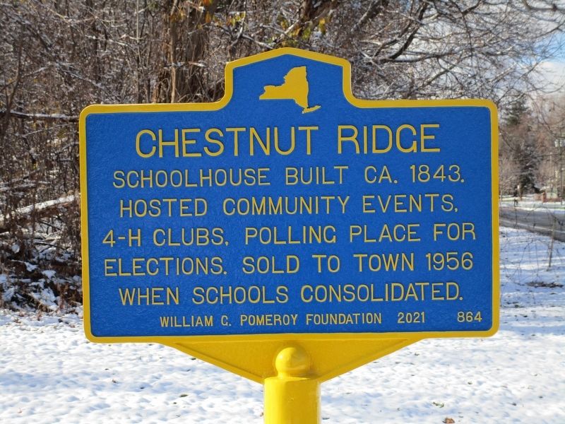
Chestnut Ridge
Erected 2021 by William G. Pomeroy Foundation. (Marker Number 864.)
Topics. This historical marker is listed in this topic list: Education. A significant historical year for this entry is 1843.
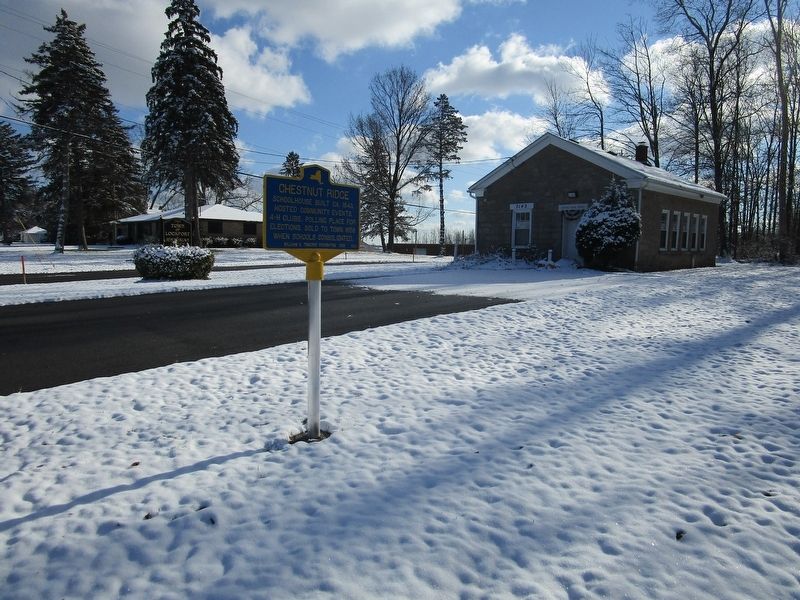
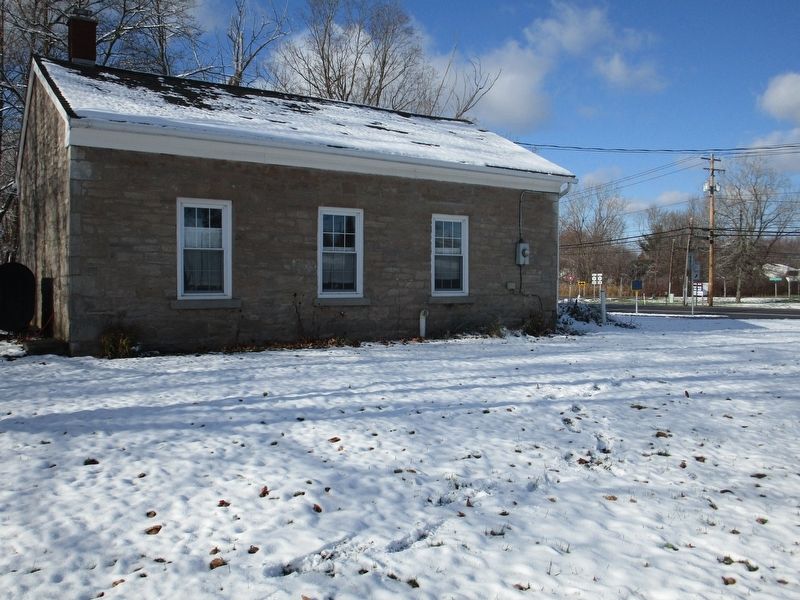
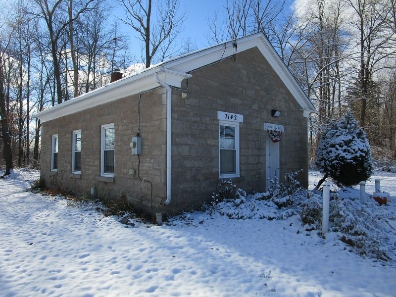
Location. 43° 10.841′ N, 78° 38.549′ W. Marker is in Lockport, New York, in Niagara County. Marker is at the intersection of Chestnut Ridge Road (New York State Route 77) and Rochester Road (New York State Route 31), on the right when traveling east on Chestnut Ridge Road. Touch for map. Marker is at or near this postal address: 7142 Chestnut Ridge Road, Lockport NY 14094, United States of America. Touch for directions.
Other nearby markers. At least 8 other markers are within 2 miles of this marker, measured as the crow flies. Cold Springs Cemetery (approx. 0.8 miles away); Canal Bridge No. E-225 (approx. 0.8 miles away); Canal Bridge No. E-224 (approx. one mile away); Lockport (approx. 1.3 miles away); First Lockport Residents Killed in World Wars I and II (approx. 1.4 miles away); Lockport War Memorial (approx. 1˝ miles away); Original Niagara Grape Vine (approx. 1.7 miles away); Gertrude Warren (approx. 1.8 miles away). Touch for a list and map of all markers in Lockport.
Credits. This page was last revised on December 5, 2021. It was originally submitted on November 29, 2021, by Anton Schwarzmueller of Wilson, New York. This page has been viewed 522 times since then and 46 times this year. Last updated on December 2, 2021, by Carl Gordon Moore Jr. of North East, Maryland. Photos: 1, 2, 3, 4. submitted on November 29, 2021, by Anton Schwarzmueller of Wilson, New York. • J. Makali Bruton was the editor who published this page.


