Buchanan in Berrien County, Michigan — The American Midwest (Great Lakes)
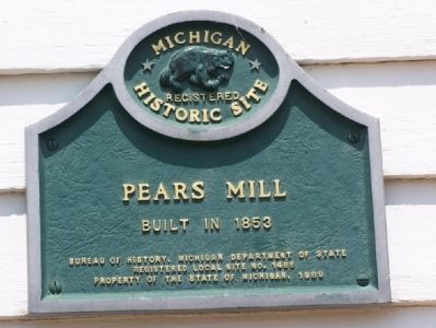
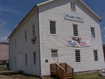
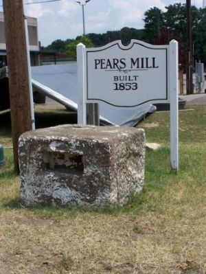
Pears Mill
Registered Michigan Historic Site
Erected 1989 by Bureau of History, Michigan Department of State. (Marker Number L1466.)
Topics. This historical marker is listed in this topic list: Industry & Commerce. A significant historical year for this entry is 1853.
Location. 41° 49.616′ N, 86° 21.666′ W. Marker is in Buchanan, Michigan, in Berrien County. Marker is on South Oak Street south of Front Street. Touch for map. Marker is at or near this postal address: 123 S Oak, Buchanan MI 49107, United States of America. Touch for directions.
Other nearby markers. At least 8 other markers are within 6 miles of this marker, measured as the crow flies. Buchanan Downtown (within shouting distance of this marker); Downtown Buchanan National Register Historic District (about 300 feet away, measured in a direct line); Moccasin Bluff (approx. 1.7 miles away); Portage Prairie United Methodist Church (approx. 3.2 miles away); Carey Mission (approx. 4 miles away); Saint Mary’s (approx. 5 miles away); Johnson Cemetery (approx. 5.2 miles away); Niles Veterans Memorial (approx. 5.2 miles away). Touch for a list and map of all markers in Buchanan.
Also see . . . Pears Mill: an 1850’s Greek Revival waterpowered flour mill. Buchanan website entry (Submitted on July 27, 2007, by M. Bowyer of Indianapolis, Indiana.)
Credits. This page was last revised on April 1, 2022. It was originally submitted on July 27, 2007, by M. Bowyer of Indianapolis, Indiana. This page has been viewed 1,632 times since then and 14 times this year. Photos: 1, 2, 3, 4, 5. submitted on July 27, 2007, by M. Bowyer of Indianapolis, Indiana. • J. J. Prats was the editor who published this page.
