Greenville in Wayne County, Missouri — The American Midwest (Upper Plains)
Moving Greenville in 1941
Above the Pool of Wappapello Lake
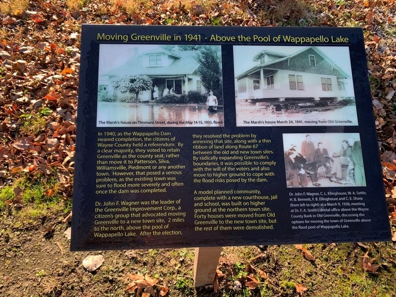
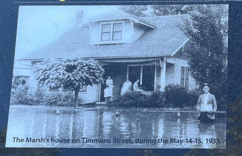
In 1940, as the Wappapello Dam neared completion, the citizens of Wayne County held a referendum. By a clear majority, they voted to retain Greenville as the county seat, rather than move it to Patterson, Silva, Williamsville, Piedmont or any another town. However, that pose a serious problem, as the existing town was sure to flood more severely and often once the dam was completed.
Dr. John F. Wagner was the leader of the Greenville Improvement Corp., a citizen's group that advocated moving Greenville to a new town site, 2 miles to the north above the pool of Wappapello lake. After the election, they resolved the by annexing that site, along with a thin ribbon of land along Route 67 between the old and new town sites. By radically expanding Greenville's boundaries, it was possible to comply with the will of the voters and also move to higher ground to cope with the flood risks posed by the dam.
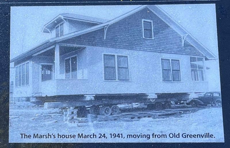
A model planned community, complete with a new courthouse, jail and school, was built on higher ground at the northern town site. Forty houses were moved from Old Greenville to the new town site, but the rest of them were demolished.
Topics. This historical marker is listed in this topic list: Settlements & Settlers. A significant historical year for this entry is 1940.
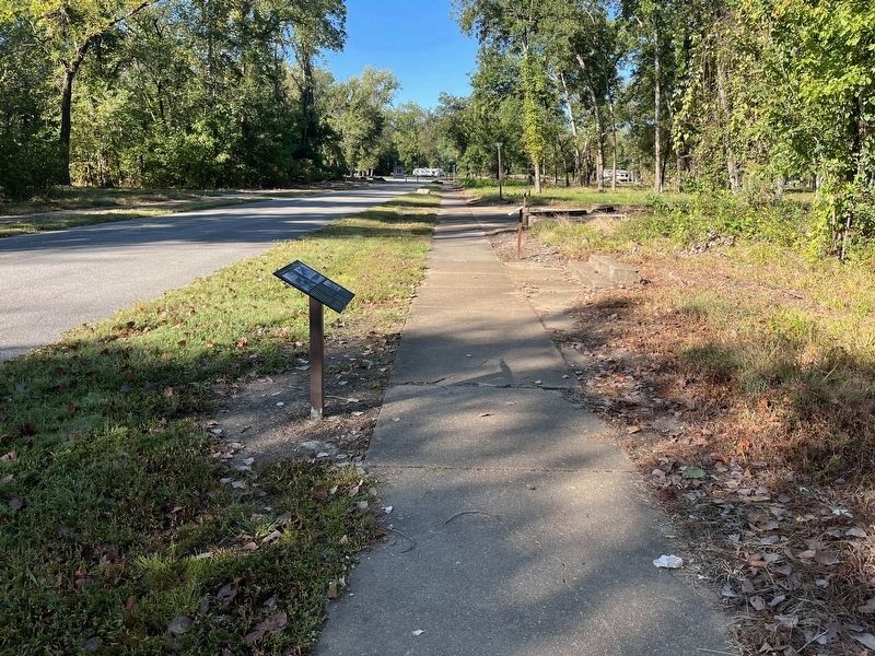
Location. 37° 6.061′ N, 90° 27.26′ W. Marker is in Greenville, Missouri, in Wayne County. Marker can be reached from U.S. 67, 2 miles south of County Road 221, on the right when traveling south. Located on the "Memory Lane" trail through Old Greenville, inside the Greenville Recreation Area, Wappapello Lake. Touch for map. Marker is in this post office area: Greenville MO 63944, United States of America. Touch for directions.
Other nearby markers. At least 8 other markers are within walking distance of this marker. Barrow's Store (here, next to this marker); J. Arthur Davis Dealership (within shouting distance of this marker); The Filling Stations of Old Greenville (within shouting distance of this marker); Marsh's Store (within shouting distance of this marker); Smith House (within shouting distance of this marker); Strickland Store (within shouting distance of this marker); Stile Block (within shouting distance of this marker); Ownbey Residence (within shouting distance of this marker). Touch for a list and map of all markers in Greenville.
Photographed By Craig Swain, September 28, 2022
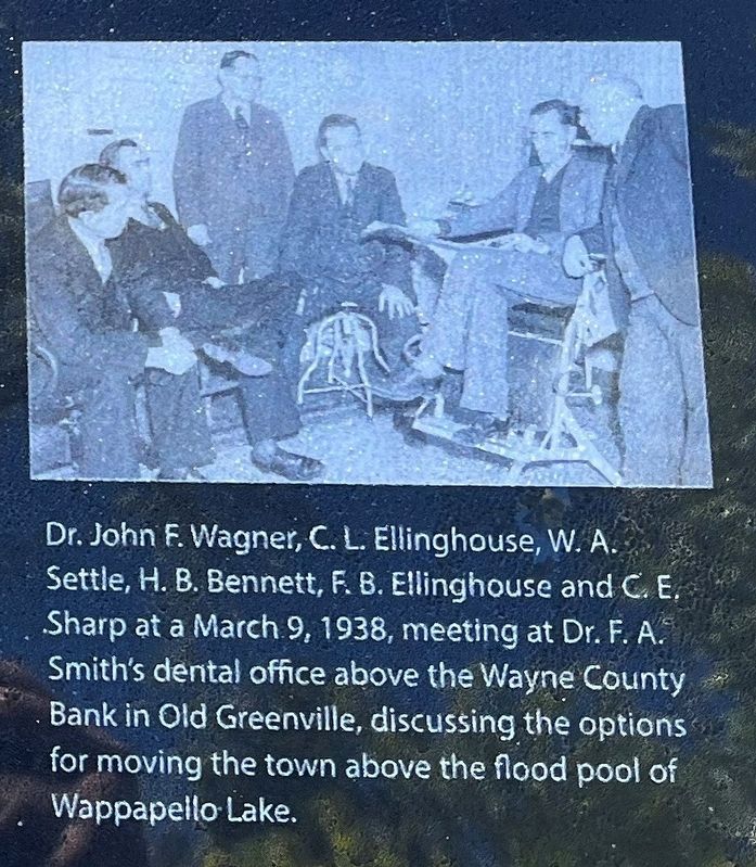
4. Meeting to Discuss the Move
On the lower right of the marker. Dr. John F. Wagner, C.L. Ellinghouse, W.A. Settle, H.B. Bennett, F.B. Ellinghouse and C.E. Sharp at a March 9, 1938, meeting at Dr. F.A. Smith's dental office above the Wayne County Bank in Old Greenville, discussing the options for moving the town above the flood pool of Wappapello Lake.
Credits. This page was last revised on November 5, 2022. It was originally submitted on December 3, 2021, by Thomas Smith of Waterloo, Ill. This page has been viewed 165 times since then and 16 times this year. Photos: 1. submitted on December 3, 2021, by Thomas Smith of Waterloo, Ill. 2, 3, 4, 5. submitted on November 5, 2022, by Craig Swain of Leesburg, Virginia. • Devry Becker Jones was the editor who published this page.
