Gonzales in Gonzales County, Texas — The American South (West South Central)
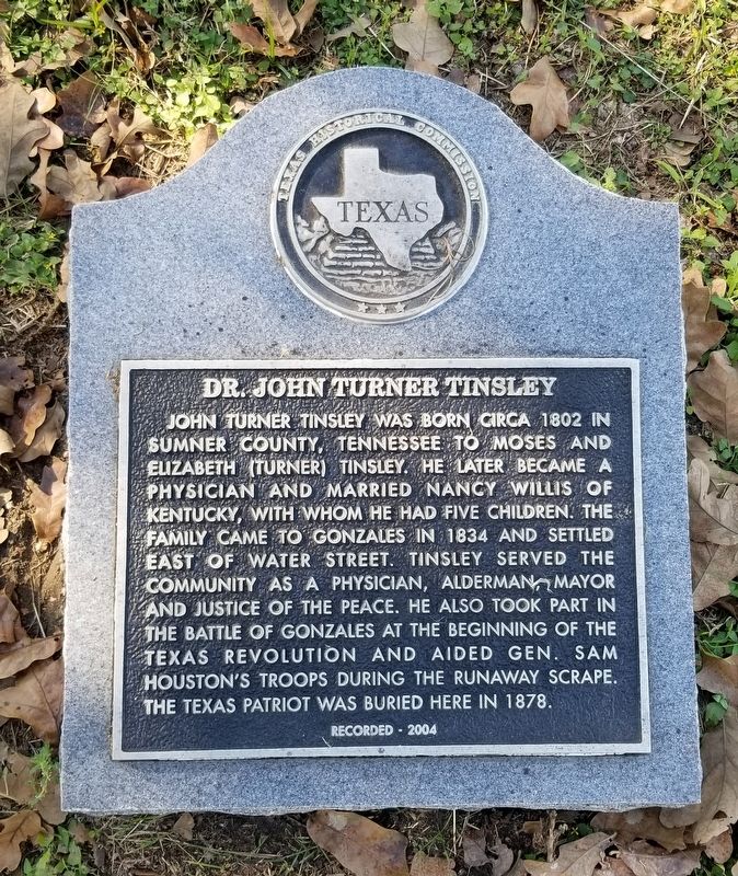
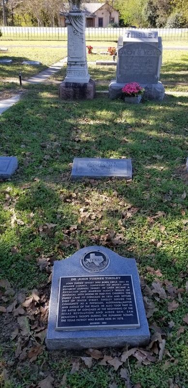
Dr. John Turner Tinsley
Erected 2004 by Texas Historical Commission. (Marker Number 13309.)
Topics. This historical marker is listed in these topic lists: Cemeteries & Burial Sites • War, Texas Independence. A significant historical year for this entry is 1802.
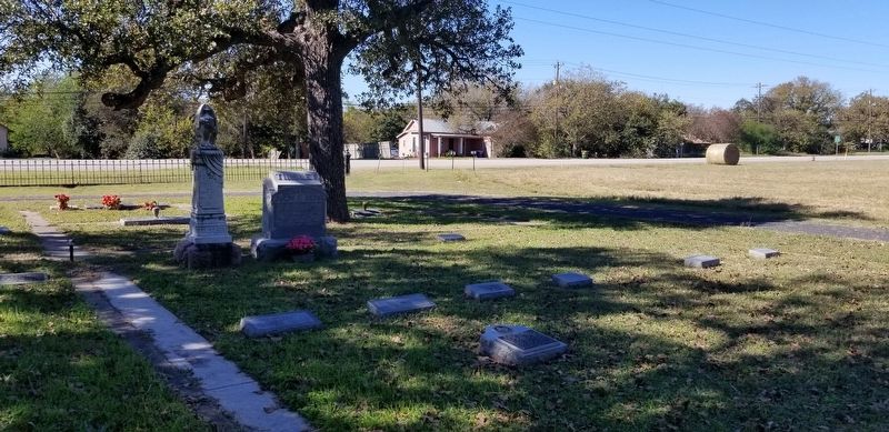
Location. 29° 30.537′ N, 97° 27.587′ W. Marker is in Gonzales, Texas, in Gonzales County. Marker can be reached from the intersection of Knight Street and Holmes Street. The marker is located in the northwestern section of the Gonzales Masonic Cemetery. Touch for map. Marker is in this post office area: Gonzales TX 78629, United States of America. Touch for directions.
Other nearby markers. At least 8 other markers are within walking distance of this marker. Eli Mitchell (about 300 feet away, measured in a direct line); Jesse Kencheloe Davis (about 300 feet away); In Memory of Andrew Ponton (about 400 feet away); Charles Mason (about 400 feet away); Dr. Thomas Polk (about 400 feet away); William A. Matthews (about 500 feet away); Amasa Turner (about 500 feet away); Gonzales Masonic Cemetery Veterans Memorial (approx. 0.2 miles away). Touch for a list and map of all markers in Gonzales.
Also see . . . Runaway Scrape.
The term Runaway Scrape was the name Texans applied to the flight from their homes when Antonio López de Santa Anna began his attempted conquest of Texas in February 1836. The first communities to be affected were those in the south central portions of Texas around San Patricio, Refugio, and San Antonio. The people began to leave that area as early as January 14, 1836, when the Mexicans were reported gathering on the Rio Grande. Source: The Handbook of Texas(Submitted on December 5, 2021, by James Hulse of Medina, Texas.)
Credits. This page was last revised on December 5, 2021. It was originally submitted on December 4, 2021, by James Hulse of Medina, Texas. This page has been viewed 178 times since then and 27 times this year. Photos: 1, 2, 3. submitted on December 5, 2021, by James Hulse of Medina, Texas.


