Opelousas in St. Landry Parish, Louisiana — The American South (West South Central)
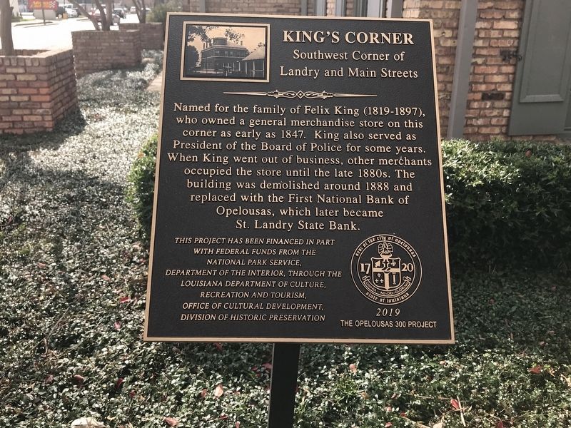
King's Corner
Southwest Corner of Landry and Main Streets
Named for the family of Felix King (1819-1897), who owned a general merchandise store on this corner as early as 1847. King also served as President of the Board of Police for some years. When King went out of business, other merchants occupied the store until the late 1800s. The building was demolished around 1888 and replaced with the First National Bank of Opelousas, which later became St. Landry State Bank.
This project has been financed in part with Federal funds from the National Park Service, Department of Interior, through the Louisiana Department of Culture, Recreation and Tourism, Office of Cultural Development, Division of Historic Preservation.
Erected 2019 by The Opelousas 300 Project, National Park Service, Department of the Interior; Louisiana Department of Culture, Recreation and Tourism, Office of Cultural Development, Division of Historic Preservation.
Topics. This historical marker is listed in this topic list: Industry & Commerce.
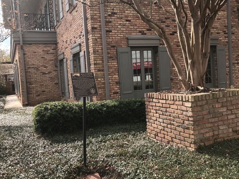
Location. 30° 31.971′ N, 92° 4.913′ W. Marker is in Opelousas, Louisiana, in St. Landry Parish. Marker is at the intersection of East Landry Street (U.S. 190) and South Main Street (State Route 182), on the left when traveling west on East Landry Street. Touch for map. Marker is in this post office area: Opelousas LA 70570, United States of America. Touch for directions.
Other nearby markers. At least 8 other markers are within walking distance of this marker. Saint Landry Parish Mural (within shouting distance of this marker); Seven Brothers Oak (within shouting distance of this marker); Shute's Drug Store (about 300 feet away, measured in a direct line); Old Federal Building (about 300 feet away); Old Lacombe Hotel Site (about 400 feet away); Manon's Corner (about 400 feet away); City Hall (about 500 feet away); Bloch Corner (about 500 feet away). Touch for a list and map of all markers in Opelousas.
More about this marker. East Landry Street (U.S. Highway 190) is also known as the Ronald Reagan Highway.
Credits. This page was last revised on December 5, 2021. It was originally submitted on December 5, 2021, by Cajun Scrambler of Assumption, Louisiana. This page has been viewed 151 times since then and 14 times this year. Photos: 1, 2. submitted on December 5, 2021, by Cajun Scrambler of Assumption, Louisiana.

