The Palisades in Northwest Washington in Washington, District of Columbia — The American Northeast (Mid-Atlantic)
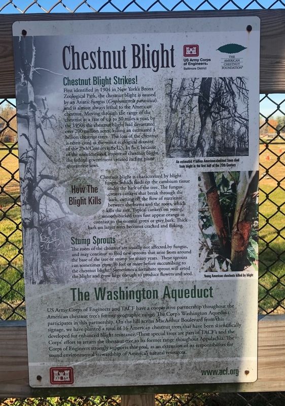
Chestnut Blight
Chestnut Blight Strikes!
First identified in 1904 in New York's Bronx Zoological Park, the chestnut blight is caused by an Asiatic fungus (Cryphonectrik parasitica) and is almost always lethal to the American chestnut. Moving through the range of the chestnut at a rate of up to 30 miles a year, by the 1950s the chestnut blight had devastated over 200 million acres, killing an estimated 4 billion chestnut trees. The loss of the chestnut is often cited as the worst ecological distaster of the 20th Century in the U.S. In fact, because of the unintentional import of chestnut blight, the federal government created its first plant quarantine laws.
How The Blight Kills
Chestnut blight is characterized by blight fungus, which fees on the cambium tissue under the bark of the tree. The fungus creates cankers that break through the bark, cutting off the flow of nutrients between the leaves and the roots, which kills the tree. Typical cankers on young, smooth-barked trees first appear orange in contrast to the normal green or grey bark. Thick bark on larger trees becomes cracked and flaking.
Stumped Sprouts
The roots of the chestnut are usually not affected by the fungus, and may continue to feed new sprouts that arise from around the base of the tree or stump for many years. These sprouts can sometimes grow 30 feet or more before succumbing to the chestnut blight. Sometimes a fortunate sprout will avoid the blight and grwo large enough to produce flowers and seed.
The Washington Aqueduct
US Army Corps of Engineers and the TACF have a cooperative partnership throughout the American chestnut tree's former geographic range. The Corp's Washington Aqueduct participates in this partnership. On the hill across MacArthur Bouleard from this signage, we have planted a total of 16 American chestnut trees that have been scientifically developed for enhanced blight resistance. These special trees are part of the TACF's and the Corps' effort to return the chestnut tree to its former range throughout Appalachia. The Corps of Engineers strongly supports this goal, as an extension of its responsibilities for sound environmental stewardship of America's natural resources.
Erected by The US Army Corps of Engineers; The American Chestnut Foundation.
Topics. This historical marker is listed in these topic lists: Charity & Public Work • Disasters • Environment • Horticulture & Forestry. A significant historical year for this entry is 1904.
Location. 38° 56.297′ N, 77° 6.727′ W. Marker is in Northwest Washington in Washington, District
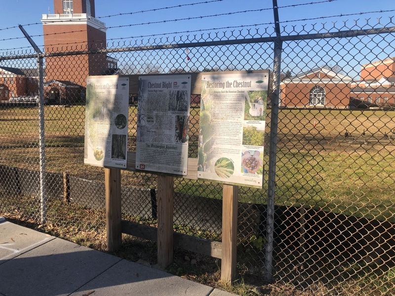
Other nearby markers. At least 8 other markers are within walking distance of this marker. The American Chestnut (here, next to this marker); Restoring the Chestnut (here, next to this marker); Original Federal Boundary Stone, District of Columbia, Northwest 4 (approx. 0.2 miles away in Maryland); John Dugger (approx. 0.2 miles away in Maryland); The Georgetown Branch Railroad (approx. 0.2 miles away in Maryland); The Dalecarlia Tunnel (approx. 0.4 miles away in Maryland); Carolina Park: Archaeology and History in the Palisades (approx. half a mile away); Inlet Locks (approx. half a mile away in Maryland). Touch for a list and map of all markers in Northwest Washington.
Credits. This page was last revised on January 30, 2023. It was originally submitted on December 5, 2021, by Devry Becker Jones of Washington, District of Columbia. This page has been viewed 133 times since then and 19 times this year. Photos: 1, 2. submitted on December 5, 2021, by Devry Becker Jones of Washington, District of Columbia.

