Frontenac in St. Louis County, Missouri — The American Midwest (Upper Plains)
Des Peres Presbyterian Church
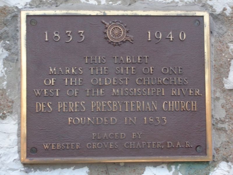
1833 - 1940
Photographed by Jason Voigt, December 4, 2021
1. Des Peres Presbyterian Church Marker
This tablet
marks the site of one
of the oldest churches
west of the Mississippi River
Des Peres Presbyterian Church
Founded in 1933
Erected by Daughters of the American Revolution (Webster Groves chapter).
Topics and series. This historical marker is listed in this topic list: Religion & Religious Structures. In addition, it is included in the Daughters of the American Revolution (DAR) series list. A significant historical year for this entry is 1833.
Location. 38° 37.37′ N, 90° 25.222′ W. Marker is in Frontenac, Missouri, in St. Louis County. It is on North Geyer Road south of Steeplechase Lane, on the left when traveling south. Touch for map. Marker is at or near this postal address: 2255 N Geyer Rd, Saint Louis MO 63131, United States of America. Touch for directions.

Regionally, this marker is in Greater St. Louis. It is also in the American Midwest, in the Lewis & Clark Corridor, in the Corn Belt, and in the Great River Road Region. Globally, it is in North America, the Western Hemisphere, the Western World, and the Anglosphere. Historically, it finds itself in what was once the Viceroyalty of
this page online
Other nearby markers. At least 8 other markers are within 3 miles of this marker, measured as the crow flies: Old Burying Ground (a few steps from this marker); Estill Log Cabin (approx. 1.6 miles away); Kropp Log Cabin (approx. 1.6 miles away); Oge Log Cabin (approx. 1.6 miles away); Des Peres Park (approx. 1.7 miles away); World War II Memorial (approx. 1.7 miles away); Tender Courage (approx. 2.1 miles away); Old Log Cabin (approx. 2.3 miles away).
Also see . . . Des Peres Presbyterian Church on Wikipedia. The church was a stop on the Underground Railroad. Abolitionist Elijah Lovejoy preached here before he moved to Alton, Illinois. (Submitted on December 5, 2021, by Jason Voigt of Glen Carbon, Illinois.)
Photographed by Jason Voigt, December 4, 2021
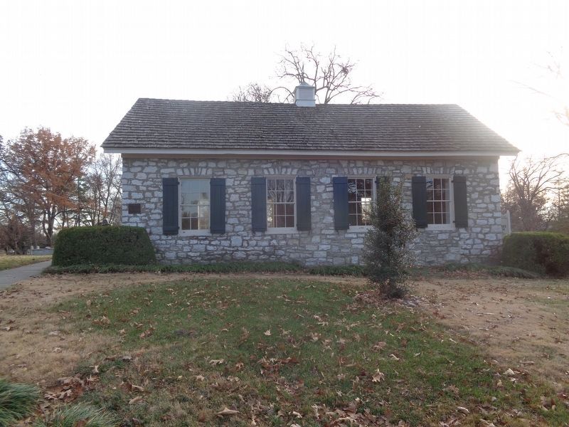
2. Des Peres Presbyterian Church Marker
Marker is mounted to the church, facing north
Photographed by Jason Voigt, December 4, 2021
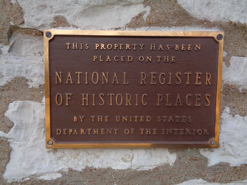
3. NRHP plaque
Photographed by Jason Voigt, December 4, 2021
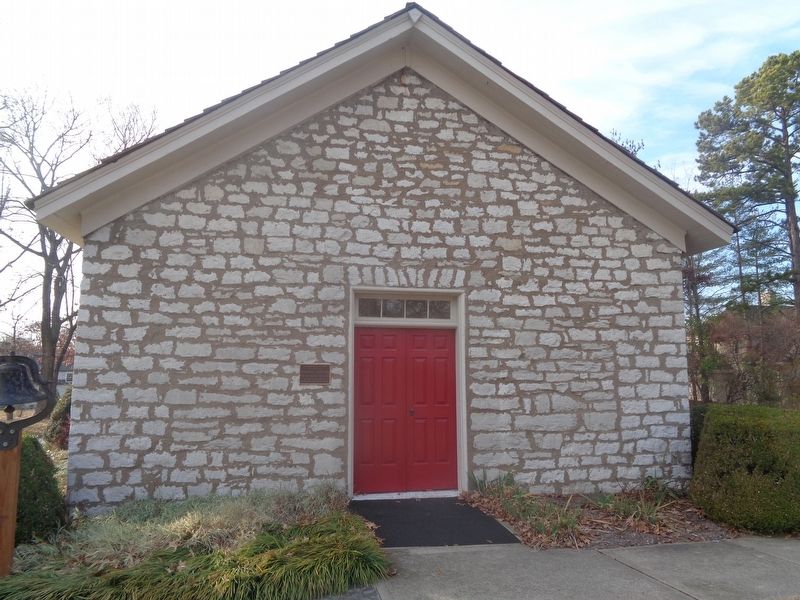
4. Des Peres Presbyterian Church
Facing east; NRHP plaque is on this side
Credits. This page was last revised on December 5, 2021. It was originally submitted on December 5, 2021, by Jason Voigt of Glen Carbon, Illinois. This page has been viewed 318 times since then and 31 times this year. Photos: 1, 2, 3, 4. submitted on December 5, 2021, by Jason Voigt of Glen Carbon, Illinois.
