Frontenac in St. Louis County, Missouri — The American Midwest (Upper Plains)
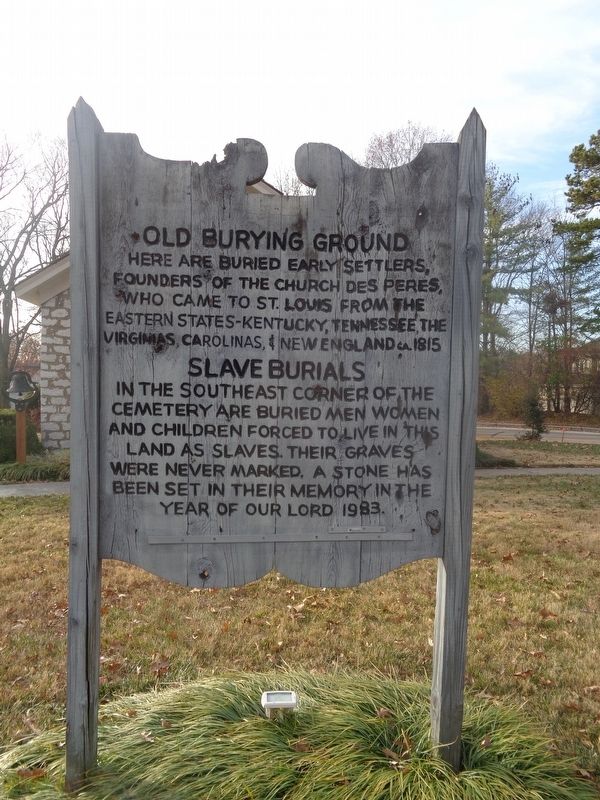
Old Burying Ground
Photographed by Jason Voigt, December 4, 2021
1. Old Burying Ground Marker
Slave Burials
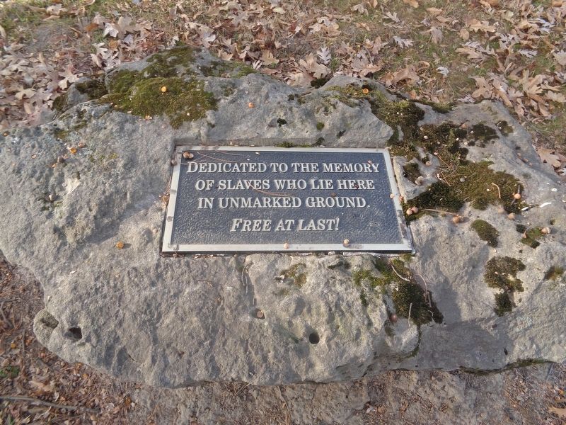
In the southeast corner of the cemetery are buried men women and children forced to live in this land as slaves. Their graves were never marked. A stone has been set in their memory in the year of our lord 1983.
Topics. This historical marker is listed in these topic lists: African Americans • Cemeteries & Burial Sites • Settlements & Settlers. A significant historical year for this entry is 1815.
Location. 38° 37.367′ N, 90° 25.214′ W. Marker is in Frontenac, Missouri, in St. Louis County. It can be reached from North Geyer Road south of Steeplechase Lane. Marker is located at the Des Peres Church Cemetery. Touch for map. Marker is at or near this postal address: 2255 N Geyer Rd, Saint Louis MO 63131, United States of America. Touch for directions.

Regionally, this marker is in Greater St. Louis. It is also in the American Midwest, in the Lewis & Clark Corridor, in the Corn Belt, and in the Great River Road Region.
this page online
Other nearby markers. At least 8 other markers are within 3 miles of this marker, measured as the crow flies: Des Peres Presbyterian Church (a few steps from this marker); Estill Log Cabin (approx. 1.6 miles away); Kropp Log Cabin (approx. 1.6 miles away); Oge Log Cabin (approx. 1.6 miles away); Des Peres Park (approx. 1.7 miles away); World War II Memorial (approx. 1.7 miles away); Tender Courage (approx. 2.1 miles away); Old Log Cabin (approx. 2.3 miles away).
Also see . . . Faith Des Peres Presbyterian Church Cemetery on Findagrave. The user-generated Find-a-grave site lists 169 interments; however, it is not known how many slaves were buried on that land. Baseball Hall of Famer George Sisler (who played for the St. Louis Browns most of his career) is buried here, with his son, Dave (who also played professional baseball), and his daughter,
Photographed by Jason Voigt, December 4, 2021
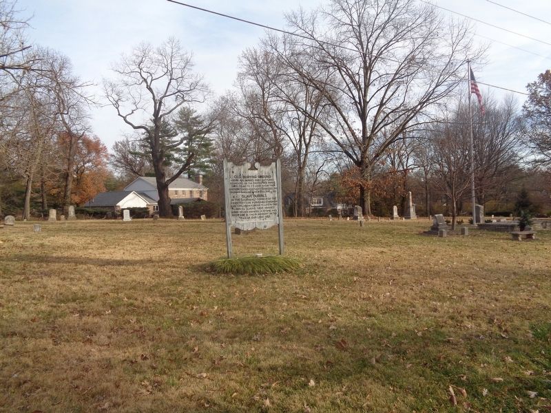
2. Old Burying Ground Marker
Photographed by Jason Voigt, December 4, 2021
3. Slave dedication plaque
Mentioned on the marker
Credits. This page was last revised on December 5, 2021. It was originally submitted on December 5, 2021, by Jason Voigt of Glen Carbon, Illinois. This page has been viewed 436 times since then and 30 times this year. Photos: 1, 2, 3. submitted on December 5, 2021, by Jason Voigt of Glen Carbon, Illinois.
