Rapid City in Pennington County, South Dakota — The American Midwest (Upper Plains)
Welcome to Founders Park Plaza
— Founders Park Plaza —
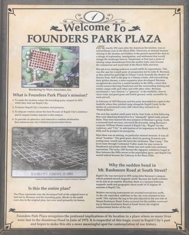
1. To mark the location where the founding party camped in 1876 while they laid out Rapid City.
2. To honor Rapid City's founders and pioneers.
3. To educate visitors about the 50 years of Rapid City's existence and to inspire further interest in this subject.
4. To provide an attractive and interactive outdoor destination that enhances our city's historical preservation focus.
Is this the entire plan?
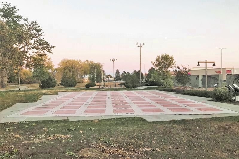
The Plaza represents only the developed half of the original town as laid out by Brennan and the founding party. Blocks to the north were also in the original plan, but were used primarily for horses.
1876, exactly 100 years after the American Revolution, was an extraordinary year in the Black Hills. Discovery of mineral treasure shining in the streams and hidden in the ground opened the door to a deluge of exploration, immigration, and settlement that would change the landscape forever. Deadwood, at first just a series of mining camps downstream from the mother lode, soon became the commercial and social hub of the Black Hills universe.
But not every mining endeavor would fulfill its expectations. This was the case for a small party of prospectors led by John R. Brennan, as they toiled for gold high in Palmer Gulch, beneath the shadow of Harney Peak. Still in the grip of a Dakota winter, still not realizing their golden dreams, a more expansive plan developed. Brennan recognized the need for a central location in the Hills, a town that would connect thriving Deadwood and the surrounding mining and timber camps with each other and with other cities. Brennan envisioned a "new Denver," a "gateway" in the foothills, close to clean water and good grass and fertile ground, easily accessible by road and rail.
In February of 1876 Brennan and his party descended to a spot in the foothills where they pitched camp alongside Rapid Creek, in the shelter of a prominent rocky cliff which they referred to as "Point of Rocks."
The next day another small party led by Sam Scott, at first believing they were attaching themselves to a "stampede" (gold rush), joined them. They soon learned the true purpose of Brennan's group. Scott, a seasoned land surveyor, surveyed the townsite, using Brennan's compass. William Martin named it Rapid City, "Rapid" for the waterway, and "City" in anticipation of its importance to the Black Hills and its prospect for prosperity.
Here there was no mining, no particular mineral treasure. It was all about "location." The good grass, ideal for grazing livestock and resting oxen, would earn the town the nickname "Hay Camp." The level route through Centennial Valley made for easy access to Deadwood and points north. Points east and south were similarly convenient. The rocky cliff became the signpost, commerce began to flow between the Hills towns as the population grew, and Rapid City would indeed become the Gateway to the Black Hills.
Why the sudden bend in Mt. Rushmore Road at South Street?
Rapid City was surveyed in 1876 using John Brennan's compass which pointed toward magnetic north. Because the Earth wobbles on its axis in an easterly direction, there is a variance between magnetic north and geographic (true) north of 12 degrees 30 minutes at Rapid City.
Modern surveying instruments are oriented toward true north. As the city expanded, additions to the city were oriented to true north. This explains the jog in the plat adjacent to the east side of Mount Rushmore Road. It also accounts for the sudden westward jog in Mount Rushmore Road at South Street, the original southernmost border of the city.
Topics. This historical marker is listed in these topic lists: Parks & Recreational Areas • Settlements & Settlers. A significant historical month for this entry is February 1876.
Location. 44° 5.085′ N, 103° 14.552′ W. Marker is in Rapid City, South Dakota, in Pennington County. Located at Founders Park Plaza in Rapid City. Touch for map. Marker is at or near this postal address: 1510 W Omaha Street, Sioux Falls SD 57104, United States of America. Touch for directions.
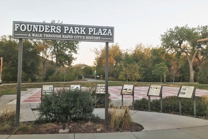
Other nearby markers. At least 8 other markers are within walking distance of this marker. Rapid City's Founders (here, next to this marker); Landscapes (here, next to this marker); Pioneers and Native Americans (here, next to this marker); Early Places (here, next to this marker); Follow the Horseshoes through Founders Park Plaza (here, next to this marker); Rapid Creek Flood Mark (a few steps from this marker); Rapid Trout (a few steps from this marker); The Eagles (within shouting distance of this marker). Touch for a list and map of all markers in Rapid City.
Related markers. Click here for a list of markers that are related to this marker.
Credits. This page was last revised on December 6, 2021. It was originally submitted on October 27, 2021. This page has been viewed 200 times since then and 38 times this year. Last updated on December 6, 2021. Photos: 1, 2, 3. submitted on October 27, 2021. • J. Makali Bruton was the editor who published this page.


