
Gonzales in Gonzales County, Texas — The American South (West South Central)
Segregation in Gonzales: Edwards High School
The African-American Journey - 1863-1965
Photographed by James Hulse, November 29, 2021
1. Segregation in Gonzales: Edwards High School Marker
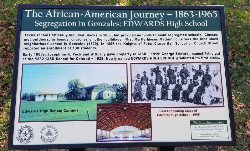
Early 1900s: Josephine K. Peck and W.M. Fly gave property to GISD - 1919: George Edwards named Principal of the 1882 GISD School for Colored 1922: Newly named Edwards High School graduated its first class.
Captions
Middle Left: Edwards High School Campus
Middle Right: Last Graduating Class of Edwards High School - 1965
Erected 2021 by Gonzales County Historical Commission and the City of Gonzales.
Topics. This historical marker is listed in these topic lists: African Americans • Education. A significant historical year for this entry is 1868.
Location. 29° 30.13′ N, 97° 27.153′ W. Marker is in Gonzales, Texas, in Gonzales County. It is at the intersection of St. Louis Street and St. George Street, on the right when traveling north on St. Louis Street.
this page online

Regionally, this marker is in the Hill Country. It is also in the American South. Globally, it is in North America, a Gulf of Mexico state, the Western Hemisphere, the Western World, and the Anglosphere. Historically, it finds itself in what was once New Spain, the Republic of Texas, one of the Confederate States of America, and the Antebellum South.
Other nearby markers. At least 8 other markers are within walking distance of this marker: Historic Gonzales Churches and Cemetery (here, next to this marker); From Segregation to Integration (here, next to this marker); Juneteenth - A Day of Freedom and Jubilee (here, next to this marker); Women of the Confederacy (a few steps from this marker); Confederate Monument (a few steps from this marker); Jail Square (a few steps from this marker); Confederate Monument, Independence Square (a few steps from this marker); Fort Waul on the Guadalupe River (a few steps
Photographed by James Hulse, November 29, 2021
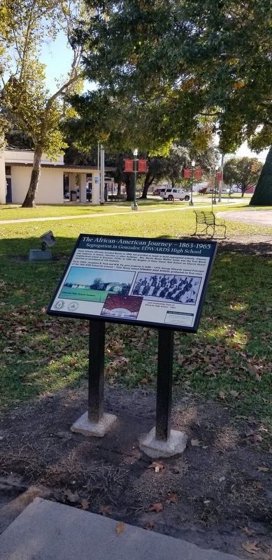
2. Segregation in Gonzales: Edwards High School Marker
Also see . . . Segregation.
Segregation is the physical separation of peoples on the basis of ethnicity and social custom historically applied to separate African Americans and Mexican Americans from Whites in Texas. Racial attitudes that supported segregation of African Americans probably arrived in Texas during the 1820s in company with the "peculiar institution," slavery. Anglo-Americans began extending segregation to Mexican Americans after the Texas Revolution as a social custom. Tejanos formed a suspect class during and after the revolution, and that fact led to a general aversion of them. After the Civil War, segregation developed as a method of group control. Source: The Handbook of Texas(Submitted on December 6, 2021, by James Hulse of Medina, Texas.)
Photographed by James Hulse, November 29, 2021
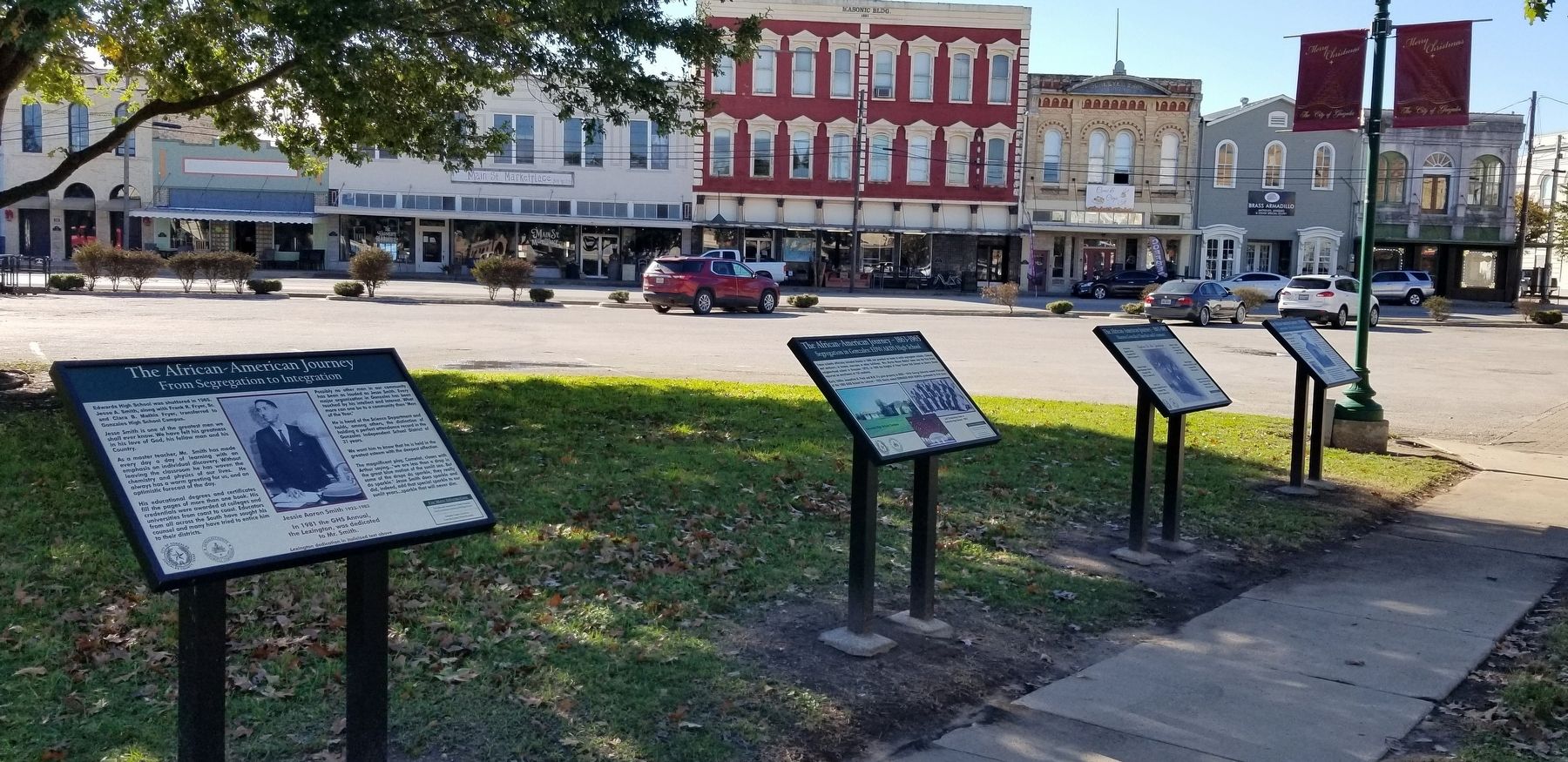
3. The Segregation in Gonzales: Edwards High School Marker is the second marker from the left
Credits. This page was last revised on December 6, 2021. It was originally submitted on December 6, 2021, by James Hulse of Medina, Texas. This page has been viewed 1,713 times since then and 119 times this year. Photos: 1, 2, 3. submitted on December 6, 2021, by James Hulse of Medina, Texas.
