Bay St. Louis in Hancock County, Mississippi — The American South (East South Central)
Cedar Point
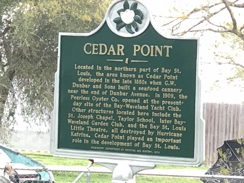
Photographed by Duane and Tracy Marsteller, March 9, 2024
1. Cedar Point Marker
Erected 2018 by Mississippi Department of Archives and History.
Topics and series. This historical marker is listed in these topic lists: Disasters • Industry & Commerce. In addition, it is included in the Mississippi State Historical Marker Program series list.
Location. 30° 19.417′ N, 89° 19.635′ W. Marker is in Bay St. Louis, Mississippi, in Hancock County. It is at the intersection of North Beach Road and North 2nd Street, on the left when traveling west on North Beach Road. Touch for map. Marker is in this post office area:
this page online

Regionally, this marker is in the American South, specifically in the Deep South, and on the Gulf Coast. Globally, it is in North America, a Gulf of Mexico state, the Western Hemisphere, the Western World, and the Anglosphere. Historically, it finds itself in what was once New Spain, the Viceroyalty of New France, the territory of the Mississippian Culture, one of the Confederate States of America, and the Antebellum South.
Other nearby markers. At least 8 other markers are within one mile of this marker, measured as the crow flies: St. Augustine’s Seminary (approx. 0.3 miles away); Elmwood Manor (approx. half a mile away); Publius Rutilius Rufus Pray (approx. 0.8 miles away); First Baptist Church of Bay St. Louis (approx. 0.9 miles away); Jean Baptiste le Moyne Siuer de Bienville (approx. 0.9 miles away); Hancock County Bank (approx. 0.9 miles away); Old Shieldsborough (approx. one mile away); St. Joseph's Academy (approx. 1.1 miles away). Touch for a list and map of all markers in Bay St. Louis.
Another marker is no longer nearby. Naval Battle of Bay St. Louis
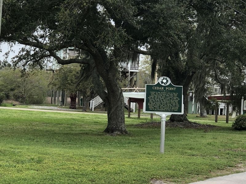
Photographed by Duane and Tracy Marsteller, March 9, 2024
2. Cedar Point Marker
Credits. This page was last revised on March 16, 2024. It was originally submitted on December 8, 2021, by Duane and Tracy Marsteller of Murfreesboro, Tennessee. This page has been viewed 978 times since then and 118 times this year. Photos: 1. submitted on December 8, 2021, by Duane and Tracy Marsteller of Murfreesboro, Tennessee. 2. submitted on March 16, 2024, by Duane and Tracy Marsteller of Murfreesboro, Tennessee.
