Riondel in Central Kootenay, British Columbia — Canada’s West Coast (North America)
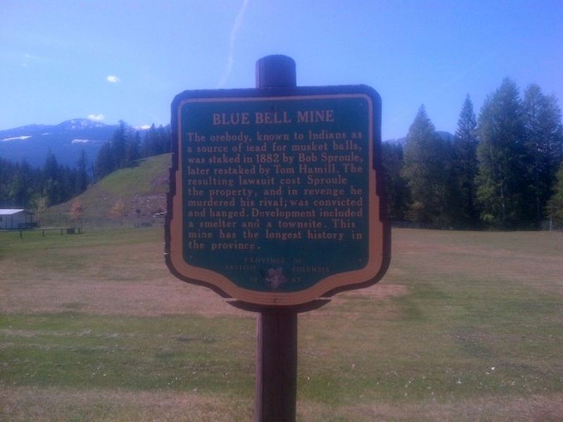
Blue Bell Mine

B.C. Ministry of Transportation and Infrastructure via Flickr (CC BY-NC-ND 2.0), May 3, 2016
1. Blue Bell Mine Marker
Erected 1967 by Province of British Columbia.
Topics. This historical marker is listed in these topic lists: Industry & Commerce • Law Enforcement. A significant historical year for this entry is 1882.
Location. 49° 45.689′ N, 116° 51.391′ W. Marker is in Riondel, British Columbia, in Central Kootenay. Marker is at the intersection of Eastman Avenue and Davis Street, on the left when traveling north on Eastman Avenue. Touch for map. Marker is at or near this postal address: 1504 Eastman Ave, Riondel BC V0B 0B2, Canada. Touch for directions.
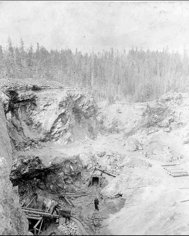
Regarding Blue Bell Mine. The murder case was a media sensation, with even The New York Times reporting on Sproule's execution on Oct. 29, 1886. The case remains controversial even today, with details surrounding Hammill's death and the fairness of Sproule's trial still in dispute. It's also been a subject in modern-day popular culture: Brian D'eon's 2018 book Big Ledge: The Triumphs and Tribulations of Robert E. Sproule and Ilana Cameron's 2012 song "Bluebell" both focus on the saga.
Also see . . . Old Mines in the West Kootenay (PDF). One of the many mines in the region was on Big Ledge, where competing claims led to murder. (Elsie Turnbull, British Columbia Historical Quarterly, July-October 1956. Note: Relevant portion begins on page 149 of the print edition (page 6 of the PDF)) (Submitted on February 23, 2022, by Duane and Tracy Marsteller of Murfreesboro, Tennessee.)
Credits. This page was last revised on February 23, 2022. It was originally submitted on December 10, 2021, by Duane and Tracy Marsteller of Murfreesboro, Tennessee. This page has been viewed 234 times since then and 66 times this year. Photos: 1. submitted on December 10, 2021, by Duane and Tracy Marsteller of Murfreesboro, Tennessee. 2. submitted on February 23, 2022, by Duane and Tracy Marsteller of Murfreesboro, Tennessee.
Editor’s want-list for this marker. Clear daylight closeup of marker • Wide shot of marker and surrounding area in context • Can you help?
