
Near Bob Quinn Lake in Kitimat-Stikine, British Columbia — Canada’s West Coast (North America)
Yukon Telegraph
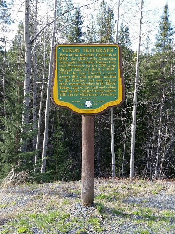
B.C. Ministry of Transportation and Infrastructure via Flickr (CC BY-NC-ND 2.0), April 13, 2016
1. Yukon Telegraph Marker
Erected 1974 by Province of British Columbia.
Topics. This historical marker is listed in this topic list: Communications. A significant historical year for this entry is 1899.
Location. 56° 55.402′ N, 130° 10.305′ W. Marker is near Bob Quinn Lake, British Columbia, in Kitimat-Stikine. It is on Dease Lake Highway/Stewart-Cassiar Highway (Provincial Highway 37) 5.6 kilometers south of Bob Quinn Forest Service Road, on the right when traveling south. Marker is in a small pullout on the southbound side. Touch for map. Marker is in this post office area: Bob Quinn Lake BC V0J V0J, Canada. Touch for directions.

Regionally, this marker is in Northern BC. Globally, it is in North America, in the Inside Passage, on the Ring
this page online
More about this marker. The CPR wires mentioned on the marker refers to the Canadian Pacific Railroad.
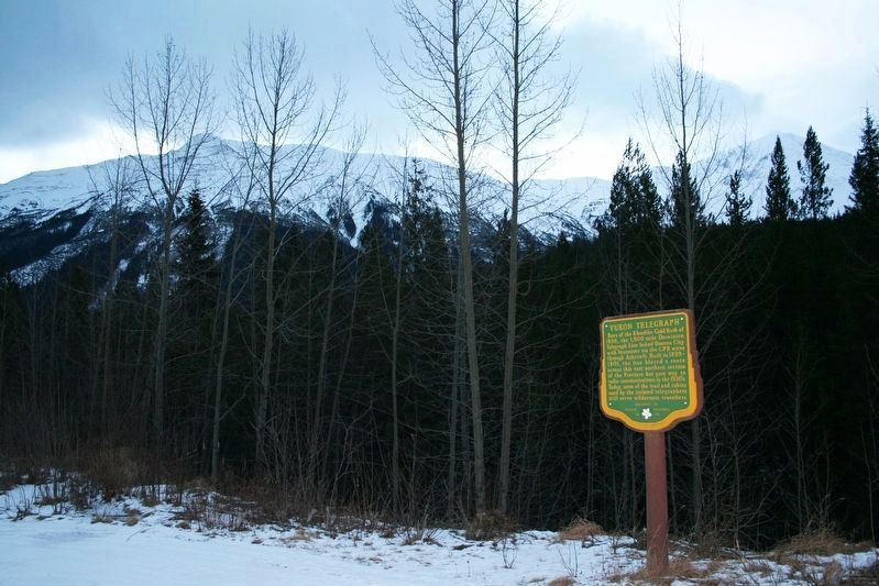
© Murray Lundberg (used by permission), December 31, 2005
2. Yukon Telegraph Marker
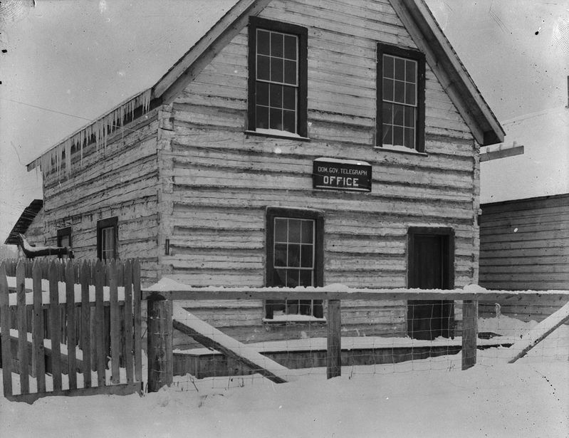
Jack R. Wrathall via Library and Archives Canada PA-095729 (Public domain), 1910
3. Dominion Government Telegraph Office, Hazelton, B.C.
These offices were established along the route so citizens could send and receive messages.
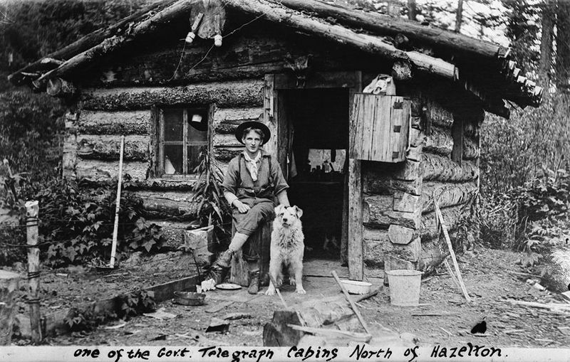
Jack R. Wrathall via Library and Archives Canada PA-095734 (Public domain), 1909
4. Government Telegraph cabin, north of Hazelton, B.C.
Telegraph operators such as Jack Wrathall (pictured here with his dog) and linemen lived in small, remote "bush stations" while keeping the line in good working order.
Credits. This page was last revised on April 19, 2022. It was originally submitted on December 10, 2021, by Duane and Tracy Marsteller of Murfreesboro, Tennessee. This page has been viewed 589 times since then and 87 times this year. Photos: 1. submitted on December 10, 2021, by Duane and Tracy Marsteller of Murfreesboro, Tennessee. 2, 3, 4. submitted on February 23, 2022, by Duane and Tracy Marsteller of Murfreesboro, Tennessee.
