Sandon in Central Kootenay, British Columbia — Canada’s West Coast (North America)
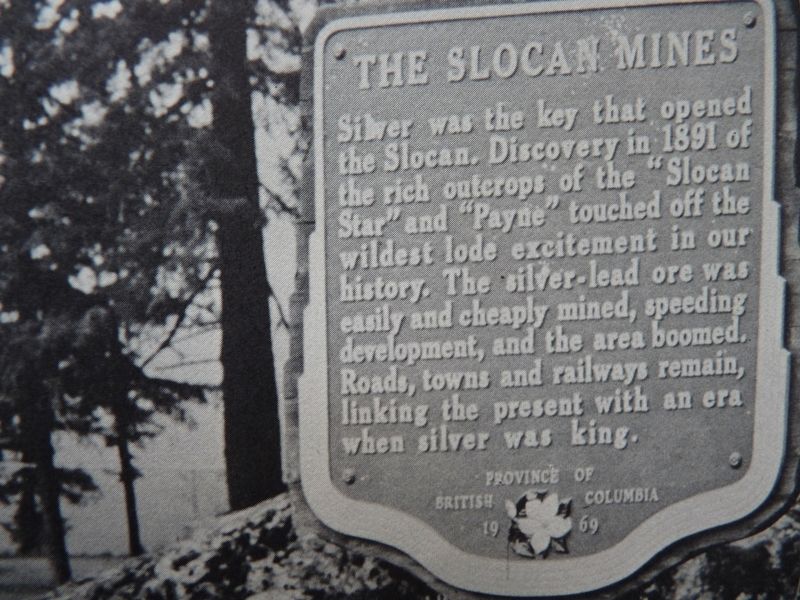
The Slocan Mines

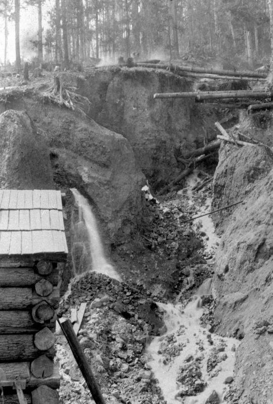
B.C. Ministry of Transportation and Infrastructure via Flickr (CC BY-NC-ND 2.0)
1. The Slocan Mines Marker
Erected 1969 by Province of British Columbia.
Topics. This historical marker is listed in this topic list: Industry & Commerce. A significant historical year for this entry is 1891.
Location. 49° 58.548′ N, 117° 13.668′ W. Marker is in Sandon, British Columbia, in Central Kootenay. Marker is on Slocan Star Street, 0.3 kilometers east of Sandon Road, on the left when traveling east. Marker is in the Sandon Museum parking area. Touch for map. Marker is in this post office area: Sandon BC V0G 2B0, Canada. Touch for directions.
Also see . . . B.C.’s Historic Silvery Slocan Mining District. A French-Canadian former tightrope walker and an Irishman from Tennessee were the first to strike silver in the district, but they didn't profit from the boom that followed. (Republic of Mining, posted Dec. 14, 2011) (Submitted on February 20, 2022, by Duane and Tracy Marsteller of Murfreesboro, Tennessee.)
Credits. This page was last revised on February 20, 2022. It was originally submitted on December 10, 2021, by Duane and Tracy Marsteller of Murfreesboro, Tennessee. This page has been viewed 232 times since then and 42 times this year. Photos: 1. submitted on December 10, 2021, by Duane and Tracy Marsteller of Murfreesboro, Tennessee. 2. submitted on February 20, 2022, by Duane and Tracy Marsteller of Murfreesboro, Tennessee.
Editor’s want-list for this marker. Closeup photo of marker • Wide shot of marker and surrounding area in context • Confirm coordinates • Can you help?
