Rossland in Kootenay Boundary, British Columbia — Canada’s West Coast (North America)
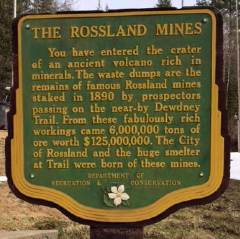
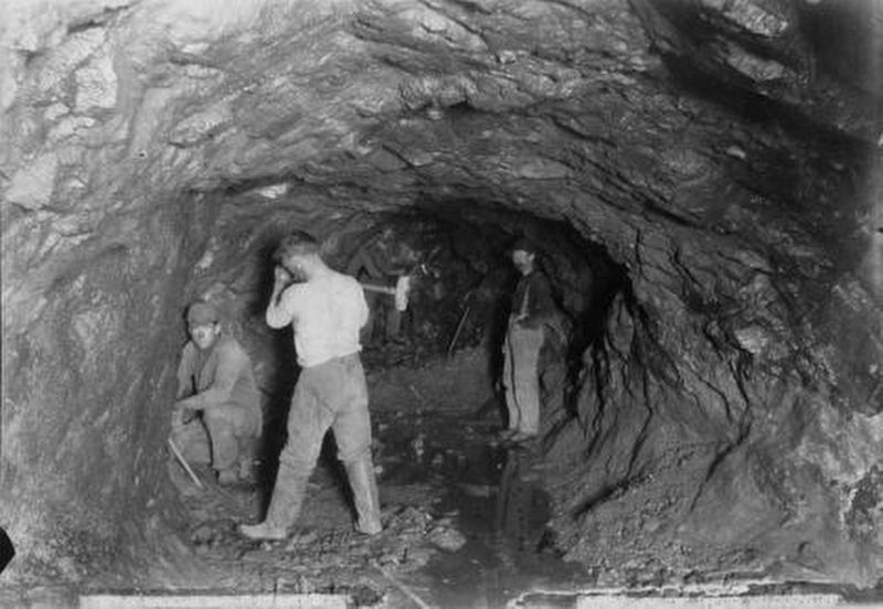
The Rossland Mines

B.C. Ministry of Transportation and Infrastructure via Flickr (CC BY-NC-ND 2.0), June 15, 2016
1. The Rossland Mines Marker
Erected by British Columbia Department of Recreation and Conservation.
Topics. This historical marker is listed in these topic lists: Environment • Industry & Commerce. A significant historical year for this entry is 1890.
Location. 49° 4.722′ N, 117° 48.941′ W. Marker is in Rossland, British Columbia, in Kootenay Boundary. Marker is at the intersection of Provincial Highway 3B and Paterson-Trail Highway (Provincial Highway 22), on the right when traveling west on Provincial Highway 3B. Marker is near the Rossland Museum and Discovery Centre. Touch for map. Marker is at or near this postal address: 1100 BC-3B, Rossland BC V0G 1Y0, Canada. Touch for directions.
Other nearby markers. At least 1 other marker is within 8 kilometers of this marker, measured as the crow flies. The Dewdney Trail (approx. 6.8 kilometers away).
Also see . . . Rossland History. The city's history, from discoveries by prospectors to hosting Olympic skiing events. (City of Rossland) (Submitted on February 18, 2022, by Duane and Tracy Marsteller of Murfreesboro, Tennessee.)
Credits. This page was last revised on February 18, 2022. It was originally submitted on December 10, 2021, by Duane and Tracy Marsteller of Murfreesboro, Tennessee. This page has been viewed 99 times since then and 5 times this year. Photos: 1. submitted on December 10, 2021, by Duane and Tracy Marsteller of Murfreesboro, Tennessee. 2. submitted on February 18, 2022, by Duane and Tracy Marsteller of Murfreesboro, Tennessee.
Editor’s want-list for this marker. Wide shot of marker and surrounding area in context • Confirm coordinates • Can you help?
