
Near Blind Channel in Strathcona, British Columbia — Canada’s West Coast (North America)
The First Premier
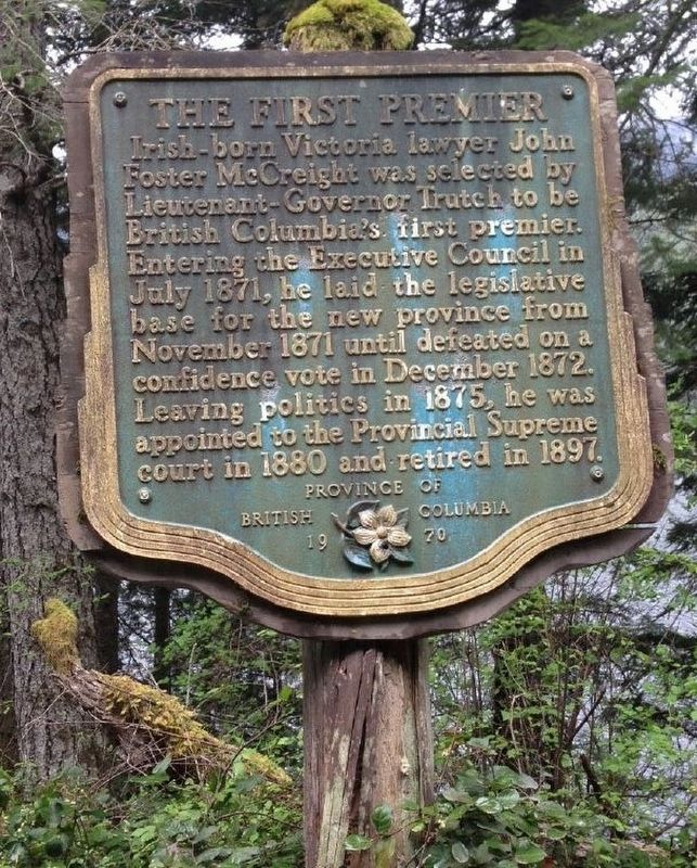
B.C. Ministry of Transportation and Infrastructure via Flickr (CC BY-NC-ND 2.0), June 15, 2016
1. The First Premier Marker
Erected 1970 by Province of British Columbia.
Topics. This historical marker is listed in this topic list: Government & Politics. A significant historical month for this entry is July 1871.
Location. 50° 17.239′ N, 125° 38.758′ W. Marker is near Blind Channel, British Columbia, in Strathcona. It is on Rock Bay Road 3.2 kilometers south of Bear Bight Road, on the right when traveling south. Marker is on east bank of McCreight Lake. Touch for map. Marker is in this post office area: Blind Channel BC V0P 1R0, Canada. Touch for directions.

Regionally, this marker is on British Columbia’s Vancouver Island. Globally, it is in North America, in the Inside Passage, on the Ring of Fire, in the Pacific Rim, in the Western
this page online
More about this marker. Rock Bay Road is a dirt/gravel forest service road.
Also see . . . McCreight, John Foster. Dictionary of Canadian Biography entry on the lawyer, politician and judge. (Submitted on December 11, 2021, by Duane and Tracy Marsteller of Murfreesboro, Tennessee.)
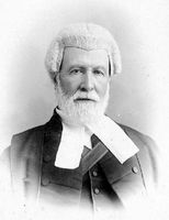
Unknown / Public domain
2. John Foster McCreight (1827-1913)
Credits. This page was last revised on February 10, 2022. It was originally submitted on December 10, 2021, by Duane and Tracy Marsteller of Murfreesboro, Tennessee. This page has been viewed 162 times since then and 25 times this year. Photos: 1. submitted on December 10, 2021, by Duane and Tracy Marsteller of Murfreesboro, Tennessee. 2. submitted on December 11, 2021, by Duane and Tracy Marsteller of Murfreesboro, Tennessee.
Editor’s want-list for this marker. Wide shot of marker and surrounding area in context. • Can you help?
