Near Canal Flats in East Kootenay, British Columbia — Canada’s West Coast (North America)
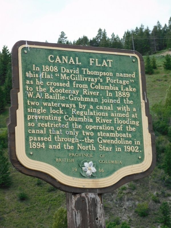
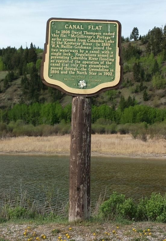
Canal Flat
Erected 1966 by Province of British Columbia.
Topics. This historical marker is listed in these topic lists: Exploration • Waterways & Vessels. A significant historical year for this entry is 1808.
Location. 50° 9.672′ N, 115° 50.534′ W. Marker is near Canal Flats, British Columbia, in East Kootenay. Marker is on Kootenay Highway (Provincial Highway 93/95) 1.3 kilometers north of Burns Avenue, on the left when traveling north. Marker is in a small pullout with limited parking (one or two vehicles). Touch for map. Marker is in this post office area: Canal Flats BC V0B 1B0, Canada. Touch for directions.
Also see . . .
1. Canal Flats. Wikipedia entry on the village, which lies at the south end of Columbia Lake — the source of the Columbia River. (Submitted on December 12, 2021, by Duane and Tracy Marsteller of Murfreesboro, Tennessee.)
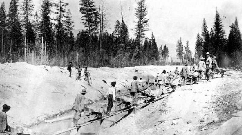
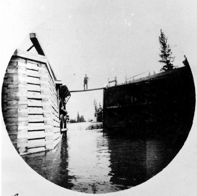
2. Baillie-Grohman Canal. Wikipedia entry on the ill-fated canal, which the builder was required to dig in exchange for government land concessions. The last ship to use the mile-long canal was too long for its single lock, so the captain ripped out the lock gates, built cofferdams from ore sacks filed with sand, then dynamited the lower coffer dam in order to get through. (Submitted on December 12, 2021, by Duane and Tracy Marsteller of Murfreesboro, Tennessee.)
B.C. Ministry of Transportation and Infrastructure via Flickr (CC BY-NC-ND 2.0)
2. Canal Flat Marker
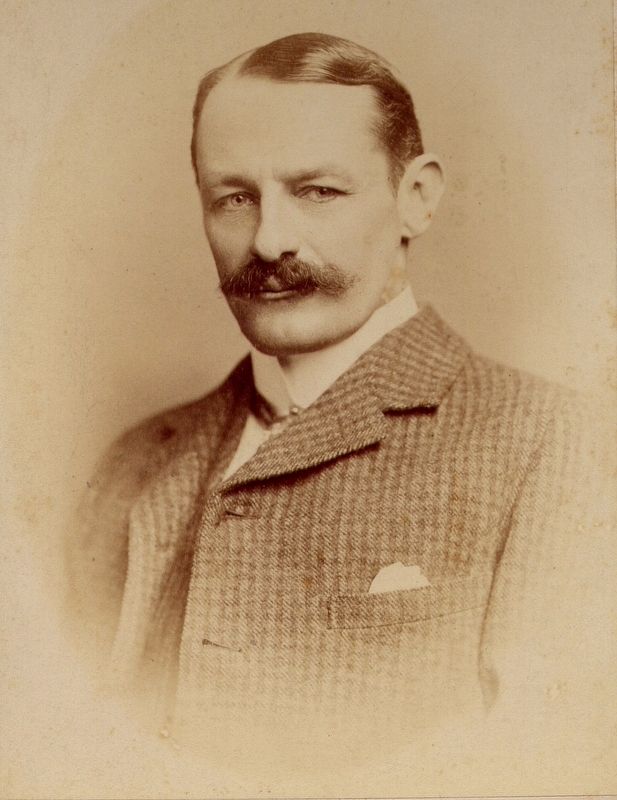
Nick Knowles via Wikimedia Commons, scan of original from descendent family archives (CC BY-SA 3.0)
5. William Adolf Baillie Grohman (1851-1921)
He was a wealthy Anglo-Austrian author, big game sportsman, and a pioneer in the Kootenay region of British Columbia.
Credits. This page was last revised on February 12, 2022. It was originally submitted on December 10, 2021, by Duane and Tracy Marsteller of Murfreesboro, Tennessee. This page has been viewed 285 times since then and 48 times this year. Photos: 1. submitted on December 11, 2021, by Duane and Tracy Marsteller of Murfreesboro, Tennessee. 2. submitted on December 10, 2021, by Duane and Tracy Marsteller of Murfreesboro, Tennessee. 3, 4, 5. submitted on December 12, 2021, by Duane and Tracy Marsteller of Murfreesboro, Tennessee.
