Near Ten Mile Lake in Cariboo, British Columbia — Canada’s West Coast (North America)
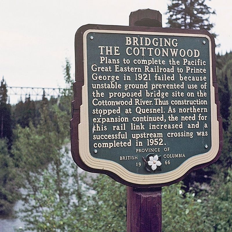
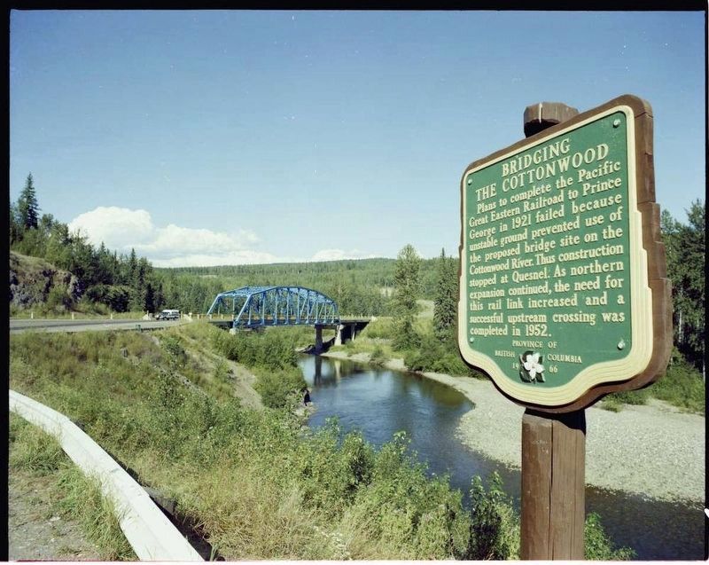
Bridging the Cottonwood

B.C. Ministry of Transportation and Infrastructure via Flickr (CC BY-NC-ND 2.0)
1. Bridging the Cottonwood Marker
Erected 1966 by Province of British Columbia.
Topics. This historical marker is listed in these topic lists: Bridges & Viaducts • Railroads & Streetcars. A significant historical year for this entry is 1952.
Location. Marker is missing. It was located near 53° 5.667′ N, 122° 22.067′ W. Marker was near Ten Mile Lake, British Columbia, in Cariboo. Marker could be reached from Cariboo Highway (Provincial Highway 97) 2.2 kilometers south of Unity Road, on the left when traveling south. Touch for map. Marker was in this post office area: Ten Mile Lake BC V2J 6X6, Canada. Touch for directions.
Other nearby markers. At least 2 other markers are within 16 kilometers of this location, measured as the crow flies. Cottonwood House (approx. 14 kilometers away); Collins’ Overland International Telegraph (approx. 15.9 kilometers away).
Credits. This page was last revised on February 19, 2022. It was originally submitted on December 10, 2021, by Duane and Tracy Marsteller of Murfreesboro, Tennessee. This page has been viewed 151 times since then and 36 times this year. Photos: 1. submitted on December 10, 2021, by Duane and Tracy Marsteller of Murfreesboro, Tennessee. 2. submitted on February 19, 2022, by Duane and Tracy Marsteller of Murfreesboro, Tennessee.
