Fulton in Howard County, Maryland — The American Northeast (Mid-Atlantic)
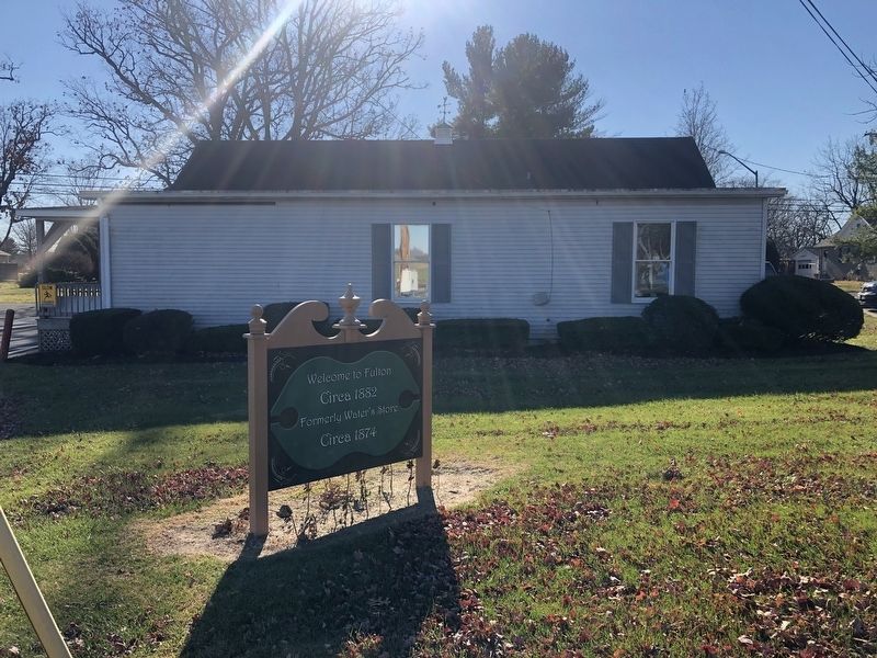
Welcome to Fulton
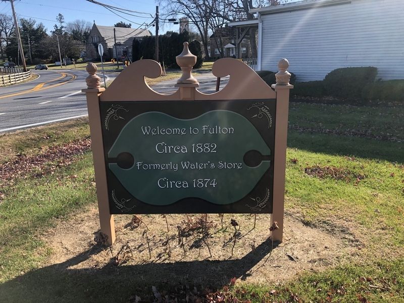
Circa 1882
Formerly Water's Store
Circa 1874
Topics. This historical marker is listed in this topic list: Settlements & Settlers. A significant historical year for this entry is 1882.
Location. 39° 9.084′ N, 76° 55.408′ W. Marker is in Fulton, Maryland, in Howard County. It is at the intersection of Scaggsville Road (Maryland Route 216) and Lime Kiln Road, on the left when traveling west on Scaggsville Road. Touch for map. Marker is at or near this postal address: 11821 Lime Kiln Rd, Fulton MD 20759, United States of America. Touch for directions.

Regionally, this marker is in the Baltimore Metro Region and in Central Maryland. It is also in the American Mid-Atlantic and on the Eastern Seaboard. Globally, it is in the North Atlantic Region, North America, the Western Hemisphere, the Western World, and the Anglosphere. Historically, it finds itself in what was once one of the original Thirteen Colonies and also the Antebellum South.
Other nearby markers. At least 8 other markers are within 5 miles of this marker, measured as the crow flies: Wall's Store & Post Office - 1905 (approx.
this page online
Credits. This page was last revised on April 10, 2022. It was originally submitted on December 12, 2021, by Devry Becker Jones of Washington, District of Columbia. This page has been viewed 425 times since then and 29 times this year. Photos: 1, 2. submitted on December 12, 2021, by Devry Becker Jones of Washington, District of Columbia.
