Tonopah in Nye County, Nevada — The American Mountains (Southwest)
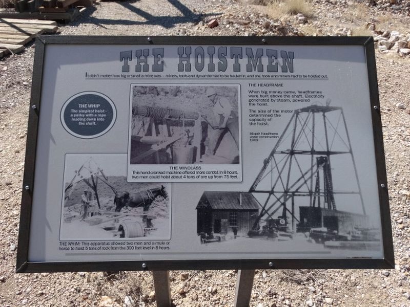
The Hoistmen
The Whim
The simplest hoist - a pully with a rope leading down into the shaft.
The Whip
The apparatus allowed two men and a mule or a horse to hoist 5 tons of rock from the 300 foot level in 8 hours.
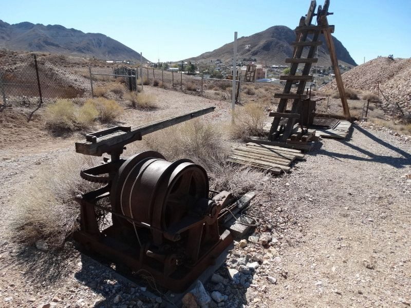
The Windlass
This hand-cranked machine offered more control. In 8 hours two men could hoist about 4 tons of ore up from 75 feet.
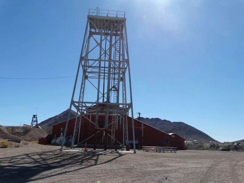
The Headframe
When big money came, headframes were built above the shaft. Electricity generated by steam, powered the hoist.
The size of the motor determined the capacity of the hoist.
Photo: Mizpah Headframe unconstruction 1902
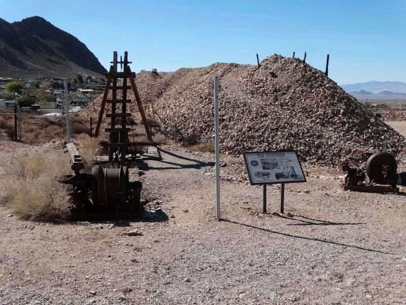
Erected by Tonopah Historic Mining Park.
Topics. This historical marker is listed in these topic lists: Natural Resources • Notable Places. A significant historical year for this entry is 1902.
Location. 38° 4.217′ N, 117° 13.705′ W. Marker is in Tonopah, Nevada, in Nye County. Marker is on Burro Avenue, on the right when traveling east. Located in the Tonopah Historic Mining Park. Touch for map. Marker is at or near this postal address: 110 Burro Avenue, Tonopah NV 89049, United States of America. Touch for directions.
Other nearby markers. At least 8 other markers are within walking distance of this marker. Up From The Depths (within shouting distance of this marker); Haul Out The Riches (within shouting distance of this marker); Belle's Mine (about 300 feet away, measured in a direct line); Into the Depths (about 300 feet away); The Leasers (about 400 feet away); Stopes (about 400 feet away); Mizpah Mine Powder Magazine (about 400 feet away); Verdi Lumber Company Coal Bin (about 400 feet away). Touch for a list and map of all markers in Tonopah.
Credits. This page was last revised on January 3, 2022. It was originally submitted on December 12, 2021, by Denise Boose of Tehachapi, California. This page has been viewed 114 times since then and 7 times this year. Photos: 1, 2, 3, 4. submitted on December 12, 2021, by Denise Boose of Tehachapi, California. • Syd Whittle was the editor who published this page.


