Sandy Spring in Montgomery County, Maryland — The American Northeast (Mid-Atlantic)
Salute to the Quakers
| — | [Sandy Spring Slave Museum & African Art Gallery] | — |
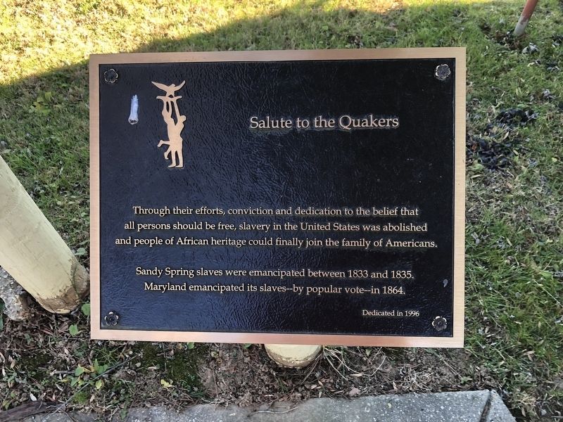
Through their efforts, conviction and dedication to the belief that all persons should be free, slavery in the United States was abolished and people of African heritage could finally join the family of Americans.
Sandy Spring slaves were emancipated between 1833 and 1835. Maryland emancipated its slaves--by popular vote--in 1864.
Erected 1996 by Sandy Spring Slave Museum & African Art Gallery.
Topics and series. This historical marker is listed in these topic lists: Abolition & Underground RR • African Americans • Religion & Religious Structures. In addition, it is included in the Quakerism series list. A significant historical year for this entry is 1833.
Location. 39° 9.579′ N, 77° 1.997′ W. Marker is in Sandy Spring, Maryland, in Montgomery County. It is on Brooke Road 0.1 miles west of Chandlee Mill Road, on the right when traveling west. Touch for map. Marker is at or near this postal address: 18524 Brooke Rd, Sandy Spring MD 20860, United States of America. Touch for directions.

Regionally, this marker is in the Washington Metropolitan Area. It is also in the American Mid-Atlantic. Globally,
this page online
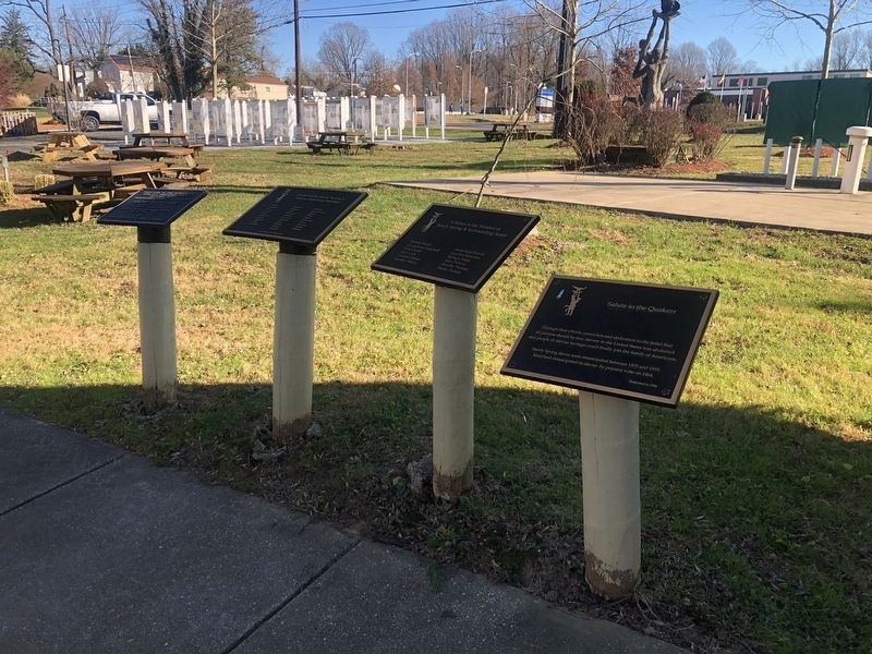
Other nearby markers. At least 8 other markers are within walking distance of this marker: Sandy Spring's African American Families (here, next to this marker); Archie Bell (Jerry) (here, next to this marker); Slaving Clipper Ship (here, next to this marker); Arts Pavilion (here, next to this marker); Forced Migration (here, next to this marker); Shaka Zulu (a few steps from this marker); a different marker also named Forced Migration (a few steps from this marker); Haile Selassie (a few steps from this marker). Touch for a list and map of all markers in Sandy Spring.
Credits. This page was last revised on January 24, 2022. It was originally submitted on December 12, 2021, by Devry Becker Jones of Washington, District of Columbia. This page has been viewed 256 times since then and 24 times this year. Photos: 1, 2. submitted on December 12, 2021, by Devry Becker Jones of Washington, District of Columbia.
