Tonopah in Nye County, Nevada — The American Mountains (Southwest)
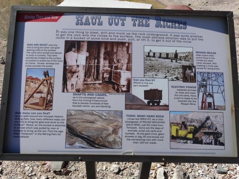
Haul Out The Riches
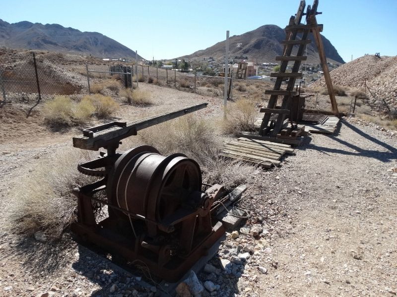
Man and Beast were in the mine to bring the silver and gold bearing rocks to the surface. The rocks were sorted and placed in carts or buckets. They were sometimes hoisted to the surface or pushed or pulled out of the mine on tracks. Horses, donkeys and mules provided the power.
How many can you find?
As you walk around the Tonopah Historic Mining Park, how many different ways can you find to bring the gold and silver to the surface? Above, an ore bucket is attached to a hoist which was pulled by men or animals to bring up the ore. Find this sign titled "Hoistmen" in the Mining Park for more details.
Shafts and Cages, as in the photograph above form the mining infrastructure that is literally hundreds of feet beneath where you are standing.
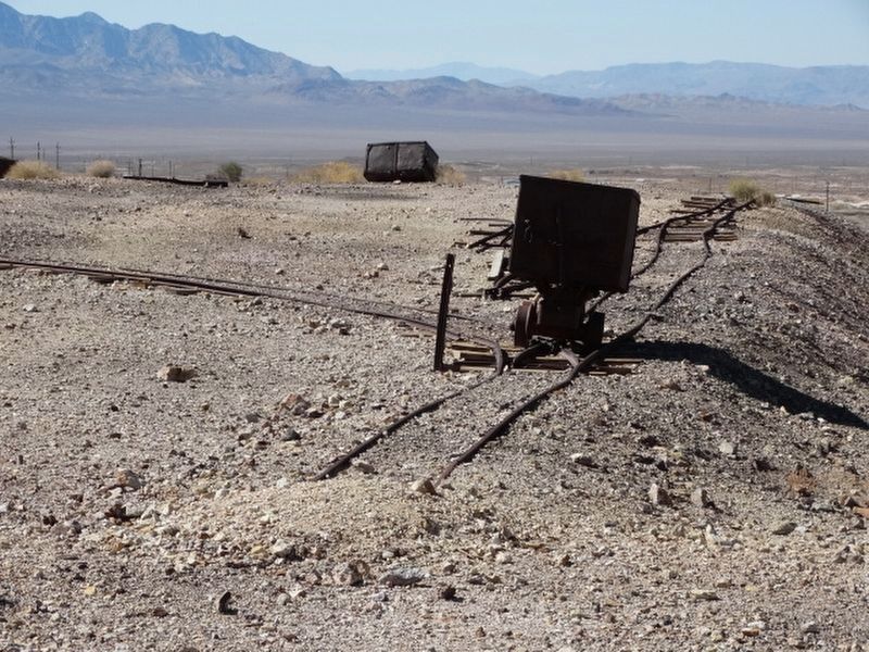
Can you find it?
Where is this ore cart located?
Today, Many Hard Rock mines are Open Pit, as in this photograph of Round Mountain Gold Mine just 60 miles from Tonopah. Gone are the days of animals, small ore carts and buckets. At this gold mine, ore shovels dig, lift and scoop out the ore-bearing rock with more than 100 tons loads.
Mining Mules often spent their entire lives in the mines but were never abused. Mistreating a mule was cause for being fired.
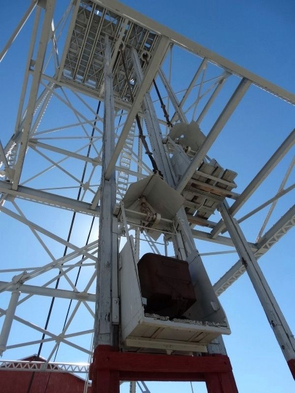
Electric Power replaced animals to raise and lower the ore carts. Here a cart is ready to be lowered into the Mizpah Mine.
Erected by Tonopah Historic Mining Park.
Topics. This historical marker is listed in these topic lists: Architecture • Industry & Commerce • Railroads & Streetcars • Settlements & Settlers.
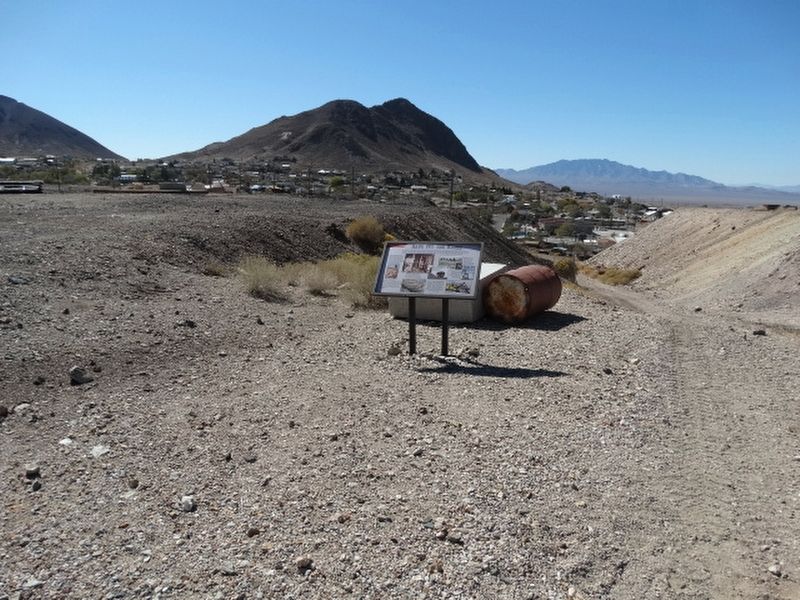
Location. 38° 4.198′ N, 117° 13.66′ W. Marker is in Tonopah, Nevada, in Nye County. Marker is on Burro Avenue, on the right when traveling east. Located in Tonopah Historic Mining Park. Touch for map. Marker is at or near this postal address: 110 Burro Avenue, Tonopah NV 89049, United States of America. Touch for directions.
Other nearby markers. At least 8 other markers are within walking distance of this marker. Belle's Mine (within shouting distance of this marker); Up From The Depths (within shouting distance of this marker); The Hoistmen (within shouting distance of this marker); Silver Vein (about 300 feet away, measured in a direct line); Glory Hole (about 300 feet away); Mine To Market (about 300 feet away); The Railroads (about 400 feet away); Into the Depths (about 500 feet away). Touch for a list and map of all markers in Tonopah.
Credits. This page was last revised on December 29, 2021. It was originally submitted on December 12, 2021, by Denise Boose of Tehachapi, California. This page has been viewed 99 times since then and 7 times this year. Photos: 1, 2, 3, 4, 5. submitted on December 12, 2021, by Denise Boose of Tehachapi, California. • Andrew Ruppenstein was the editor who published this page.
