Glen Mills in Delaware County, Pennsylvania — The American Northeast (Mid-Atlantic)
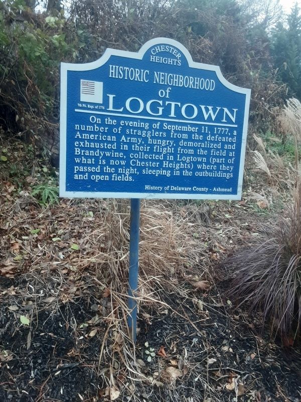
Historic Neighborhood of Logtown
History of Delaware County - Ashmead
7th PA. Regt. of 1776
Erected by Chester Heights.
Topics. This historical marker is listed in this topic list: War, US Revolutionary. A significant historical date for this entry is September 11, 1777.
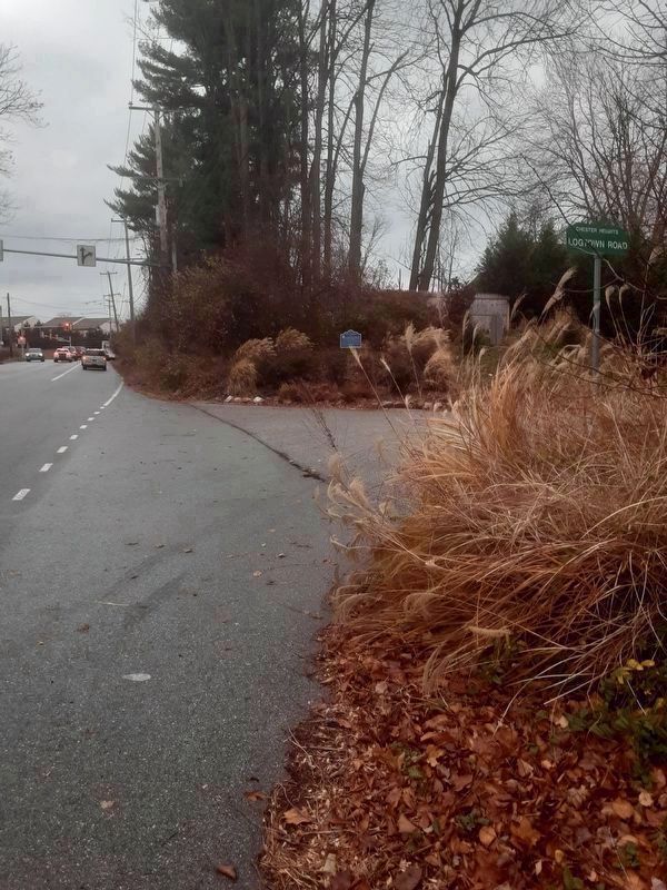
Location. 39° 53.71′ N, 75° 28.768′ W. Marker is in Glen Mills, Pennsylvania, in Delaware County. Marker is at the intersection of Valleybrook Road and Logtown Road, on the right when traveling north on Valleybrook Road. At NE corner of Valleybrook and Logtown roads. Touch for map. Marker is in this post office area: Glen Mills PA 19342, United States of America. Touch for directions.
Other nearby markers. At least 8 other markers are within 3 miles of this marker, measured as the crow flies. Ivy Mills (approx. 0.7 miles away); The Polecat Road House (approx. one mile away); Colonial Gristmill (approx. 1.4 miles away); The Newlin Mill Complex (approx. 1.4 miles away); Glen Mills (approx. 1.8 miles away); Aston and Middletown World War II Memorial (approx. 2 miles away); Aston and Middletown World War I Memorial (approx. 2 miles away); Township of Concord in Delaware County, PA (approx. 2.3 miles away). Touch for a list and map of all markers in Glen Mills.
Credits. This page was last revised on December 13, 2021. It was originally submitted on December 12, 2021, by Carl Gordon Moore Jr. of North East, Maryland. This page has been viewed 363 times since then and 55 times this year. Photos: 1, 2. submitted on December 12, 2021, by Carl Gordon Moore Jr. of North East, Maryland. • Bill Pfingsten was the editor who published this page.

