Near Ponca City in Kay County, Oklahoma — The American South (West South Central)
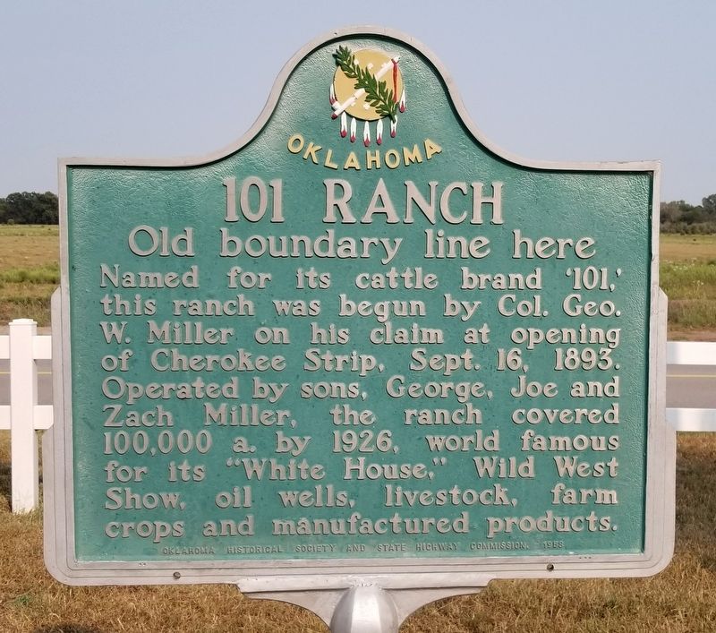
101 Ranch
Old boundary line here
Erected 1958 by Oklahoma Historical Society and State Highway Commission.
Topics. This historical marker is listed in these topic lists: Agriculture • Animals • Entertainment • Industry & Commerce. A significant historical date for this entry is September 16, 1893.
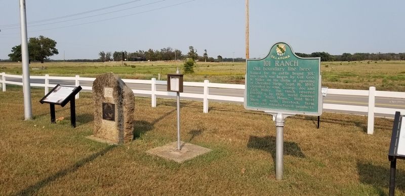
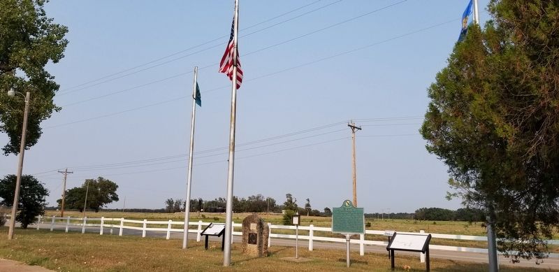
Location. 36° 36.768′ N, 97° 8.345′ W. Marker is near Ponca City, Oklahoma, in Kay County. Marker is on Ranch Road (State Highway 156) half a mile south of White Eagle Road, on the right when traveling south. The marker is located on the east side of the old 101 Ranch grounds by the highway. Touch for map. Marker is at or near this postal address: 8300 Ranch Road, Ponca City OK 74601, United States of America. Touch for directions.
Other nearby markers. At least 8 other markers are within 6 miles of this marker, measured as the crow flies. Native American Involvement ...in the 101 Ranch (here, next to this marker); "White House" (within shouting distance of this marker); A John Deer Rowe Plow Seed Planter (within shouting distance of this marker); Two Old Potato Plows (about 300 feet away, measured in a direct line); 101 Dairy Barn Vent from Dairy Barn (about 300 feet away); "Indian Trail Marker" (approx. 3 miles away); a different marker also named 101 Ranch (approx. 3.2 miles away); Royal Air Force (RAF) Memorial (approx. 5.6 miles away). Touch for a list and map of all markers in Ponca City.
Regarding 101 Ranch. There is another duplicate 101 Ranch marker south of the ranch at the old boundary line.
Also see . . . Miller Brothers 101 Ranch.
The Miller Brothers 101 Ranch was a 110,000-acre (45,000 ha) cattle ranch in the Indian Territory of Oklahoma before statehood. Located near modern-day Ponca City, it was founded by Colonel George Washington Miller, a veteran of the Confederate Army, in 1893. The 101 Ranch was the birthplace of the 101 Ranch Wild West Show and one of the early focal points of the oil rush in northeastern Oklahoma. It was the largest diversified farm and ranch in America at the time. Bill Pickett's grave and the White Eagle Monument are located on the ranch grounds. The location of the former working cattle ranch was subdivided and all of its buildings destroyed. An 82-acre (33 ha) area of the ranch is a National Historic Landmark. In 2003, the ranch was inducted into the Texas Trail of Fame. Source : Wikipedia(Submitted on December 13, 2021, by James Hulse of Medina, Texas.)
Credits. This page was last revised on December 13, 2021. It was originally submitted on December 12, 2021, by James Hulse of Medina, Texas. This page has been viewed 330 times since then and 65 times this year. Photos: 1, 2, 3, 4. submitted on December 13, 2021, by James Hulse of Medina, Texas.


