Hardesty in Texas County, Oklahoma — The American South (West South Central)
Old Hardesty
1886 - 1906
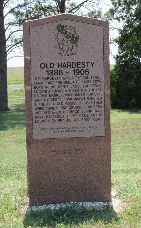
Photographed by Jason Armstrong, July 11, 2021
1. Old Hardesty Marker
Erected by Beaver River Genealogical and Historical Society Oklahoma Historical Society.
Topics. This historical marker is listed in this topic list: Settlements & Settlers. A significant historical year for this entry is 1886.
Location. 36° 37.005′ N, 101° 11.807′ W. Marker is in Hardesty, Oklahoma, in Texas County. It is on U.S. 412 west of 6th Street, on the left when traveling west. Located at a picnic pull off right off of US 412. Touch for map. Marker is in this post office area: Hardesty OK 73944, United States of America. Touch for directions.

Regionally, this marker is in Northwest Oklahoma — Red Carpet Country and in the Oklahoma Panhandle. It is also in the American South, specifically on the prairies, on the Southern Plains, and specifically on the High Plains. Globally, it is in North America, the Western Hemisphere, the Western World, and the Anglosphere. Historically, it finds itself in what was once New Spain, the Comanchería, the territory of the Mississippian Culture, the Dust Bowl, the Louisiana Purchase, the Republic of Texas, and Cimmaron Territory.
Other nearby markers. At least one other marker is within walking distance of this marker: Randles Memorial Park (within shouting distance of this marker).
this page online
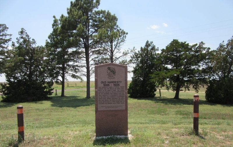
Photographed by Jason Armstrong, July 11, 2021
2. Old Hardesty Marker
Credits. This page was last revised on December 15, 2021. It was originally submitted on December 15, 2021, by Jason Armstrong of Talihina, Oklahoma. This page has been viewed 635 times since then and 75 times this year. Photos: 1, 2. submitted on December 15, 2021, by Jason Armstrong of Talihina, Oklahoma. • J. Makali Bruton was the editor who published this page.
