Near Pickstown in Gregory County, South Dakota — The American Midwest (Upper Plains)
The Advancing Frontier
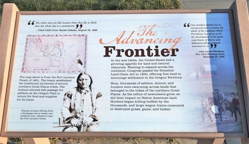
In the mid-1800s, the United States had a growing appetite for land and natural resources. Wanting to expand across the continent, Congress passed the Donation Land Claim Act in 1850, offering free land to encourage settlement in the Oregon Territory.
Soon, thousands of settlers, miners, and hunters were swarming across lands that belonged to the tribes of the northern Great Plains. As the influx of newcomers grew, so did their impact on Native American land. Hunters began killing buffalo by the thousands, and large wagon trains consumed or destroyed grass, game, and timber.
"The white men are like locusts when they fly so thick that the whole sky is a snowstorm."
—Chief Little Crow, Santee Dakota, August 18, 1862
The map above is from the Fort Laramie Treaty of 1851. The treaty established the traditional territories of several northern Great Plains tribes. The Indians allowed safe passage for settlers on the Oregon Trail in return for food and supplies for 50 years.
Tatanka Iyotaka (Sitting Bull), a Hunkpapa Sioux leader and medicine man, refused to sign the Fort Laramie Treaty.
"Our manifest destiny [is] to overspread and to possess the whole of the continent which Providence has given us for the development of the great experiment of liberty and federated self-government entrusted to us."
—John Louis O'Sullivan, New York Morning News, December 27, 1845 American Progress, by John Gast, 1872.
Topics. This historical marker is listed in these topic lists: Forts and Castles • Native Americans • Settlements & Settlers. A significant historical year for this entry is 1850.
Location. 43° 2.949′ N, 98° 33.731′ W. Marker is near Pickstown, South Dakota, in Gregory County. Marker is on Stone Church Drive east of Toe Road West, on the right when traveling east. The marker is located at Historic Fort Randall. Touch for map. Marker is in this post office area: Lake Andes SD 57356, United States of America. Touch for directions.
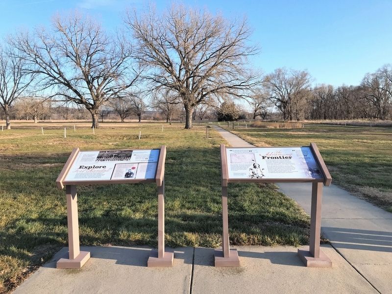
Other nearby markers. At least 8 other markers are within walking distance of this marker. Explore Fort Randall (here, next to this marker); Fort Randall Established (here, next to this marker); Fort Without a Stockade (here, next to this marker); Soldiers at Fort Randall (a few steps from this marker); Spiritual & Social Sustenance (within shouting distance of this marker); Plat of Fort Randall (within shouting distance of this marker); Fort Randall (within shouting distance of this marker); Echo Lodge, No. 2. (within shouting distance of this marker). Touch for a list and map of all markers in Pickstown.
Related markers. Click here for a list of markers that are related to this marker. This is a list of markers along the Historic Fort Randall parade ground trail.
Credits. This page was last revised on December 16, 2021. It was originally submitted on December 10, 2021. This page has been viewed 91 times since then and 13 times this year. Last updated on December 15, 2021. Photos: 1, 2. submitted on December 10, 2021. • J. Makali Bruton was the editor who published this page.

