Sanger in Denton County, Texas — The American South (West South Central)
Galilee Missionary Baptist Church
Photographed by J Frye
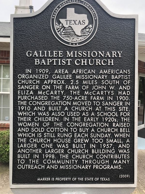
1. Galilee Missionary Baptist Church Marker
In 1909, area African Americans organized Galilee Missionary Baptist Church approx. 2.5 miles south of Sanger on the farm of John W. and Eliza McCarty. The McCartys had purchased the 750-acre farm in 1900. The congregation moved to Sanger in 1910 and built a church at this site, which was also used as a school for their children. In the early 1920's, the women of the congregation raised and sold cotton to buy a church bell which is still rung each Sunday. When the church house grew too small, a larger one was built in 1957, and another larger church building was built in 1998. The church contributes to the community through many outreach and missionary programs.
Erected 2009 by Texas Historical Commission. (Marker Number 15774.)
Topics. This historical marker is listed in these topic lists: African Americans • Education • Religion & Religious Structures. A significant historical year for this entry is 1909.
Location. 33° 21.547′ N, 97° 10.017′ W. Marker is in Sanger, Texas, in Denton County. It is at the intersection of East Willow Street and Simms Street, on the
this page online

Regionally, this marker is in the Prairies & Lakes Region and in the Dallas-Fort Worth Metropolitan Area. Globally, it is in North America, a Gulf of Mexico state, the Western Hemisphere, the Western World, and the Anglosphere. Historically, it finds itself in what was once New Spain, the Republic of Texas, and one of the Confederate States of America.
Other nearby markers. At least 8 other markers are within 8 miles of this marker, measured as the crow flies: Sanger and the Gulf, Colorado and Santa Fe Railway (approx. ¼ mile away); Sanger Presbyterian Church (approx. 0.6 miles away); Gribble Springs Baptist Church (approx. 4 miles away); Bolivar Cemetery (approx. 4.3 miles away); Townsite of Bolivar (approx. 4½ miles away); Green Valley Schools (approx. 6.7 miles away); Tyson Cemetery (approx. 7 miles away); City of Krum (approx. 7.8 miles away). Touch for a list and map of all markers in Sanger.
Photographed by J Frye
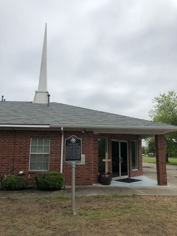
2. Galilee Missionary Baptist Church Marker
Credits. This page was last revised on December 19, 2021. It was originally submitted on December 17, 2021, by J Frye of Fort Worth, Texas. This page has been viewed 641 times since then and 58 times this year. Photos: 1, 2. submitted on December 17, 2021, by J Frye of Fort Worth, Texas. • Devry Becker Jones was the editor who published this page.
