Deerfield in Lenawee County, Michigan — The American Midwest (Great Lakes)
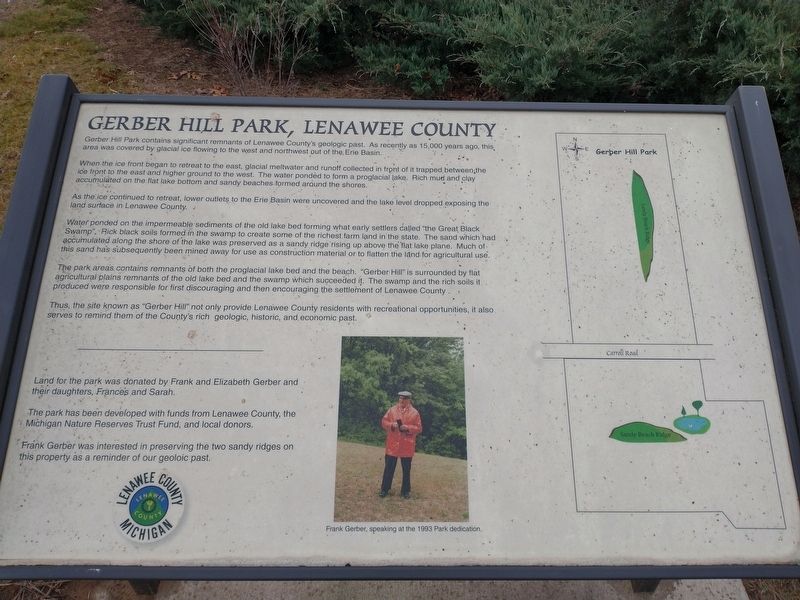
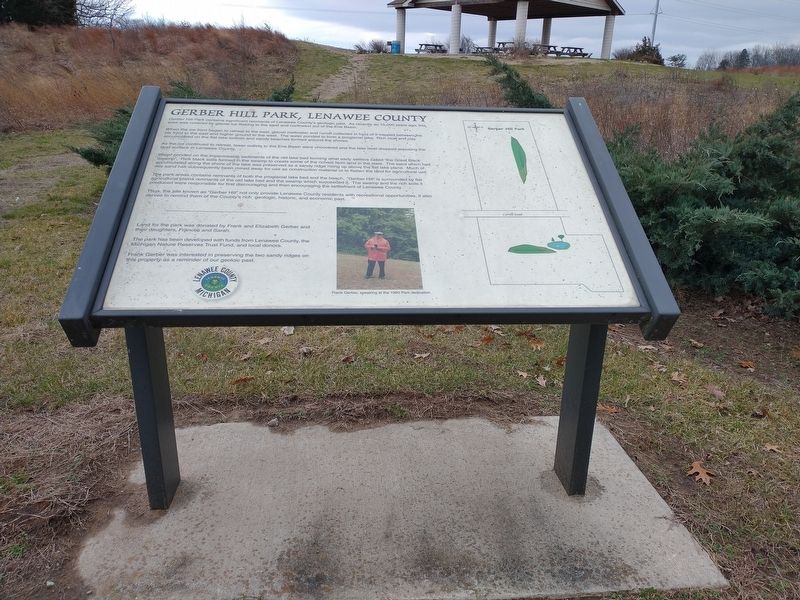
Gerber Hill Park, Lenawee County
When the ice front began to retreat to the east, glacial meltwater and runoff collected in front of it trapped between the ice front to the east and higher ground to the west. The water pondèd to form a proglacial lake. Rich mud and clay accumulated on the flat lake bottom and sandy beaches formed around the shores.
As the ice continued to retreat, lower outlets to the Erie Basin were uncovered and the lake level dropped exposing the land surface in Lenawee County.
Water pounded on the impermeable sediments of the old lake bed forming what early settlers called "the Great Black Swamp", Rick black soils formed in the swamp to create some of the richest farm land in the state. The sand which had accumulated along the shore of the lake was preserved as a sandy ridge rising up above the flat lake plane. Much of this sand has subsequently been mined away for use as construction material or to flatten the land for agricultural use.
The park areas.contains remnants of both the proglacial lake bed and the beach. "Gerber Hill' is surrounded by flat agricultural plains remnants of the old lake bed and the swamp which succeeded it. The swamp and the rich soils it produced were responsible for first discouraging and then encouraging the settlement of Lenawee County.
Thus, the site known as "Gerber Hill” not only provide Lenawee County residents with recreational opportunities, it also serves to remind them of the County's rich geologic, historic, and economic past.
Land for the park was donated by Frank and Elizabeth Gerber and their daughters, Frances and Sarah.
The park has been developed with funds from Lenawee County, the Michigan Nature Reserves Trust Fund, and local donors.
Frank Gerber was interested in preserving the two sandy ridges on this property as a reminder of our geoloic past.
Topics. This historical marker is listed in this topic list: Horticulture & Forestry.
Location. 41° 50.963′ N, 83° 46.458′ W. Marker is in Deerfield, Michigan, in Lenawee County. Marker is on Carroll Road, on the right when traveling north. Touch for map. Marker is in this post office area: Deerfield MI 49238, United States of America. Touch for directions.
Other nearby markers. At least 8 other markers are within 5 miles of this marker, measured as the crow flies. The Gerber Oaks (within shouting distance of this marker); a different marker also named Gerber Hill Park (about 500 feet away, measured in a direct line); American Legion Post 392 Veterans Memorial (approx. 2.7 miles away); Original Site of Deerfield Farmers Telephone Company (approx. 2.8 miles away); Deerfield Township Unknown Dead Memorial (approx. 2.8 miles away); Petersburg Vietnam Veterans Memorial (approx. 4.6 miles away); Petersburg Civil War Memorial (approx. 4.6 miles away); Petersburg Veterans Memorial (approx. 4.6 miles away). Touch for a list and map of all markers in Deerfield.
Credits. This page was last revised on December 21, 2021. It was originally submitted on December 18, 2021, by Craig Doda of Napoleon, Ohio. This page has been viewed 133 times since then and 9 times this year. Photos: 1, 2, 3, 4. submitted on December 18, 2021, by Craig Doda of Napoleon, Ohio. • J. Makali Bruton was the editor who published this page.


