Kerrville in Kerr County, Texas — The American South (West South Central)
Piñon Tree
Circa 1880
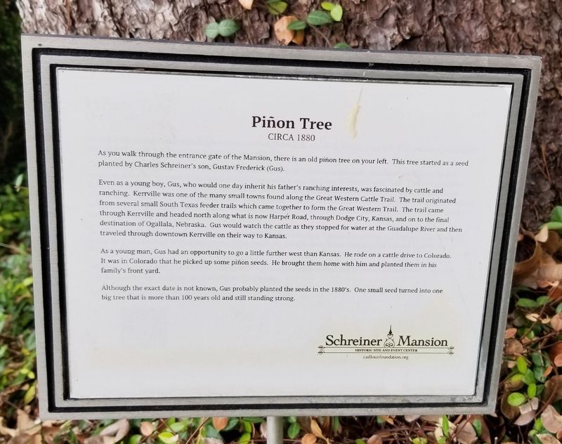
Even as a young boy, Gus, who would one day inherit his father's ranching interests, was fascinated by cattle and ranching. Kerrville was one of the many small towns found along the Great Western Cattle Trail. The trail originated from several small South Texas feeder trails which came together to form the Great Western Trail. The trail came through Kerrville and headed north along what is now Harper Road, through Dodge City, Kansas, and on to the final destination of Ogallala, Nebraska. Gus would watch the cattle as they stopped for water at the Guadalupe River and then traveled through downtown Kerrville on their way to Kansas.
As a young man, Gus had an opportunity to go a little further west than Kansas. He rode on a cattle drive to Colorado. It was in Colorado that he picked up some piñon seeds. He brought them home with him and planted them in his family's front yard.
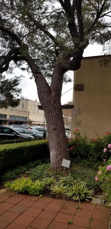
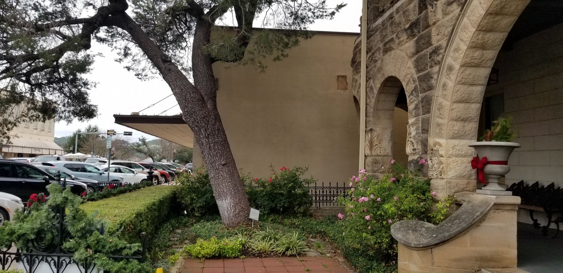
Although the exact date is not known, Gus probably planted the seeds in the 1880's. One small seed turned into one big tree that is more than 100 years old and still standing strong.
Erected by Schreiner Mansion - Historic Site and Event Center.
Topics. This historical marker is listed in this topic list: Horticulture & Forestry.
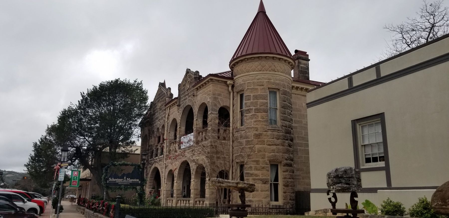
Location. 30° 2.767′ N, 99° 8.407′ W. Marker is in Kerrville, Texas, in Kerr County. Marker can be reached from Earl Garrett Street, 0.1 miles north of Water Street. The marker is located on the south side of the frontyard to the Schreiner Mansion. Touch for map. Marker is at or near this postal address: 226 Earl Garrett Street, Kerrville TX 78028, United States of America. Touch for directions.
Other nearby markers. At least 8 other markers are within walking distance of this marker. Captain Charles Schreiner Home (here, next to this marker); Captain Charles Schreiner (a few steps from this marker); Schreiner's Roses (a few steps from this marker); Masonic Building (within shouting distance of this marker); Old Kerrville Post Office (1936) (within shouting distance of this marker); The Schreiner Building (within shouting distance of this marker); Guthrie Building (within shouting distance of this marker); Kerrville Mountain Sun (within shouting distance of this marker). Touch for a list and map of all markers in Kerrville.
Also see . . .
1. Pinyon pine.
The pinyon or piñon pine group grows in southwestern North America, especially in New Mexico, Arizona, and Utah. The trees yield edible nuts, which are a staple food of Native Americans, and widely eaten as a snack and as an ingredient in New Mexican cuisine. The name comes from the Spanish pino piñonero, a name used for both the American varieties and the stone pine common in Spain, which also produces edible nuts typical of Mediterranean cuisine. Harvesting techniques of the prehistoric American Indians are still used today to collect the pinyon seeds for personal use or for commercialization. The pinyon nut or seed is high in fats and calories. Source: Wikipedia(Submitted on December 18, 2021, by James Hulse of Medina, Texas.)
2. Great Western Cattle Trail.
The Great Western Cattle Trail was used during the late 19th century for movement of cattle and horses to markets in eastern and northern states. It is also known as the Western Trail, Fort Griffin Trail, Dodge City Trail, Northern Trail and Texas Trail. It replaced the Chisholm trail when that closed. While it wasn't as well known, it was greater in length, reaching railheads up in Kansas and Nebraska and carried longhorns and horses to stock open-range ranches in the Dakotas, Wyoming, Montana, and two provinces in Canada. It took almost one hundred days to reach their destination. Source: Wikipedia(Submitted on December 18, 2021, by James Hulse of Medina, Texas.)
Credits. This page was last revised on December 18, 2021. It was originally submitted on December 18, 2021, by James Hulse of Medina, Texas. This page has been viewed 500 times since then and 36 times this year. Photos: 1, 2, 3, 4. submitted on December 18, 2021, by James Hulse of Medina, Texas.


