Keller in Tarrant County, Texas — The American South (West South Central)
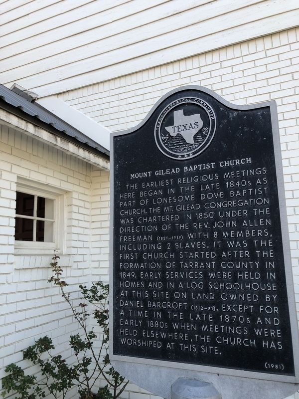
Mount Gilead Baptist Church
The earliest religious meetings here began in the late 1840s as part of Lonesome Dove Baptist Church. The Mt. Gilead Congregation was chartered in 1850 under the direction of the Rev. John Allen Freeman (1821-1919) with 8 members, including 2 slaves. It was the first church started after the formation of Tarrant County in 1849. Early services were held in homes and in a log schoolhouse at this site on land owned by Daniel Barcroft (1812-81). Except for a time in the late 1870s and early 1880s when meetings were held elsewhere, the church has worshiped at this site.
Erected 1981 by Texas Historical Commission. (Marker Number 3490.)
Topics. This historical marker is listed in these topic lists: Churches & Religion • Settlements & Settlers. A significant historical year for this entry is 1850.
Location. 32° 56.922′ N, 97° 13.251′ W. Marker is in Keller, Texas, in Tarrant County. Marker is on Keller Smithfield. Touch for map. Marker is at or near this postal address: 860 Keller Smithfield, Keller TX 76248, United States of America. Touch for directions.
Other nearby markers. At least 8 other markers are within 3 miles of this marker, measured as the crow flies. Mount Gilead Cemetery (within shouting distance of this marker); Pioneer Stone Burial Cairns (about 400 feet away, measured in a direct line); Keller Methodist Church (approx. 0.7 miles away); Bourland Cemetery (approx. 1.3 miles away); First Baptist Church of Keller (approx. 1.9 miles away); Jellico (approx. 2.1 miles away); Keller (approx. 2.2 miles away); Westlake and the Circle T Ranch (approx. 2˝ miles away). Touch for a list and map of all markers in Keller.
Credits. This page was last revised on December 21, 2021. It was originally submitted on December 18, 2021, by J Frye of Fort Worth, Texas. This page has been viewed 329 times since then and 60 times this year. Photo 1. submitted on December 18, 2021, by J Frye of Fort Worth, Texas. • J. Makali Bruton was the editor who published this page.
Editor’s want-list for this marker. A wide view photo of the marker and the surrounding area together in context. • Can you help?
