Near Comfort in Kendall County, Texas — The American South (West South Central)
History of the Railroad
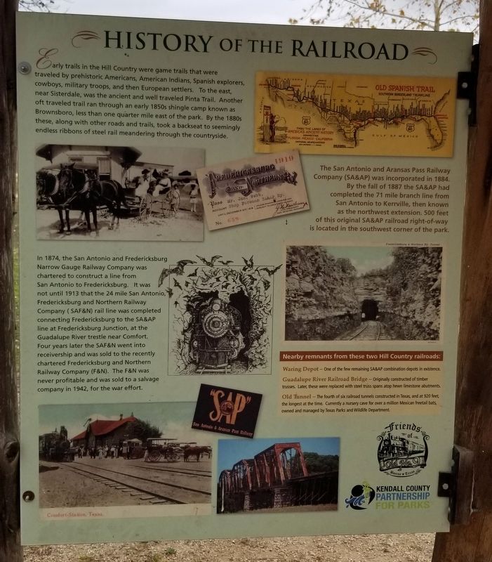
In 1874, the San Antonio and Fredericksburg Narrow Gauge Railway Company was chartered to construct a line from San Antonio to Fredericksburg. It was not until 1913 that the 24 mile San Antonio, Fredericksburg and Northern Railway Company (SAF&N) rail line was completed connecting Fredericksburg to the SA&AP line at Fredericksburg Junction, at the Guadalupe River trestle near Comfort. Four years later the SAF&N went into receivership and was sold to the recently chartered Fredericksburg and Northern Railway Company (F&N). The F&N was never profitable and was sold to a salvage company in 1942, for the war effort.
The San Antonio and Aransas Pass Railway Company (SA&AP) was incorporated in 1884. By the fall of 1887 the SA&AP had completed the 71 mile branch line from San Antonio to Kerrville, then known as the northwest extension. 500 feet of this original SA&AP railroad right-of-way is located in the southwest corner of the park.
Nearby remnants from these two Hill Country railroads:
Waring Depot - One of the few remaining SA&AP combination depots in existence.
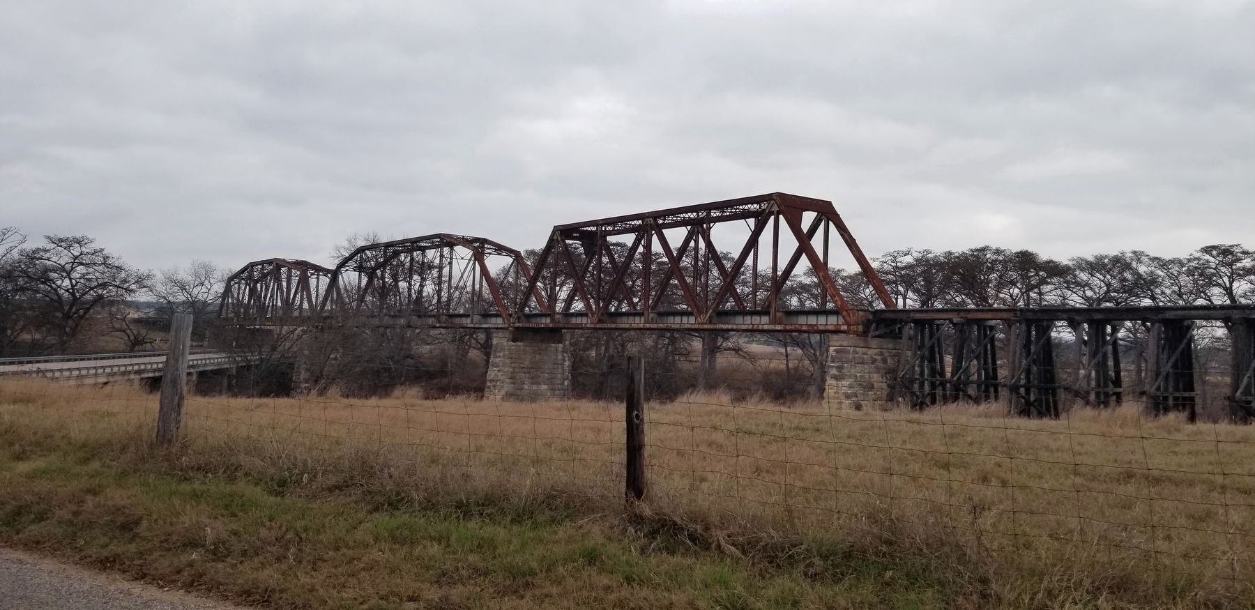
Guadalupe River Railroad Bridge - Originally constructed of timber trusses. Later, these were replaced with steel truss spans atop hewn limestone abutments.
Old Tunnel - The fourth of six railroad tunnels constructed in Texas, and at 920 feet, the longest at the time. Currently a nursery cave for over a million Mexican freetail bats, owned and managed by Texas Parks and Wildlife Department.
Captions
Lower Left: Comfort - Station, Texas
Upper Right: Old Spanish Trail - Southern Borderland Trunkline
Middle Right: Fredericksburg & Northern Ry. Tunnel
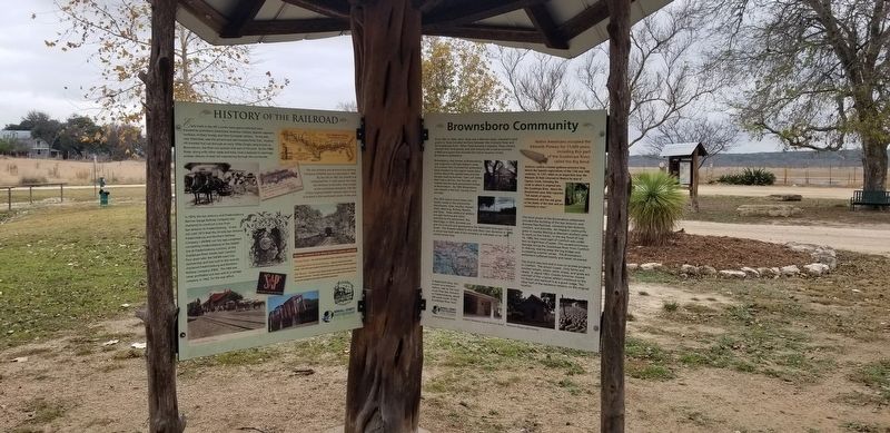
Erected by Kendall County Partnership for Parks and Friends of Old No. 9.
Topics. This historical marker is listed in these topic lists: Parks & Recreational Areas • Railroads & Streetcars. A significant historical year for this entry is 1874.
Location. 29° 58.353′ N, 98° 50.082′ W. Marker is near Comfort, Texas, in Kendall County
. Marker is on River Bend Road, 1.3 miles south of Farm to Market Road 473, on the right when traveling east. The marker is located south of the parking area to the James Kiehi Natural Area. Touch for map. Marker is at or near this postal address: 118 River Bend Road, Comfort TX 78013, United States of America. Touch for directions.
Other nearby markers. At least 8 other markers are within 3 miles of this marker, measured as the crow flies. History of the Kendall County Park System (here, next to this marker); Brownsboro Community (here, next to this marker); Army Spc. James M. Kiehl Memorial (within shouting distance of this marker); James Kiehl River Bend Park (within shouting distance of this marker); A Recovering Prairie (within shouting distance of this marker); Brownsboro Methodist Episcopal Church (approx. ¼ mile away); Brownsboro Cemetery (approx. 0.3 miles away); Waring Schoolhouse (approx. 2.3 miles away). Touch for a list and map of all markers in Comfort.
Also see . . .
1. San Antonio, Fredericksburg and Northern Railway.
The San Antonio, Fredericksburg and Northern Railway Company was chartered on January 3, 1913, to connect Fredericksburg with the San Antonio and Aransas Pass Railway Company near Waring, a distance of about twenty-five miles. The capital stock was $30,000, and the principal place of business was Fredericksburg. Source: The Handbook of Texas(Submitted on December 18, 2021, by James Hulse of Medina, Texas.)
2. Pinta Trail
.
The Pinta Trail was used by natives, explorers, and settlers to travel between today's San Antonio and the vicinity of today's Fredericksburg. It was probably part of the trail network used by Jumanos in the seventeenth century to journey and trade among New Mexico, Central Texas, La Junta de los Ríos, and East Texas. After Spaniards established the San Antonio de Bexár Presidio in 1718 and the villa of San Fernando de Bexár in 1731, the Pinta Trail was one route used to explore to the north. It was also a north-south route for Apaches, who migrated southward into the Texas Hill Country not long before Spaniards crossed the Rio Grande and began exploring Texas. The trail was one route to the short-lived Spanish mission and presidio at San Sabá, and was part of the return path taken on a 1767 frontier inspection by the Marqués de Rubí. Source: The Handbook of Texas(Submitted on December 18, 2021, by James Hulse of Medina, Texas.)
Credits. This page was last revised on December 18, 2021. It was originally submitted on December 18, 2021, by James Hulse of Medina, Texas. This page has been viewed 347 times since then and 74 times this year. Photos: 1, 2, 3. submitted on December 18, 2021, by James Hulse of Medina, Texas.


