Near Comfort in Kendall County, Texas — The American South (West South Central)
Brownsboro Methodist Episcopal Church
1870-1900
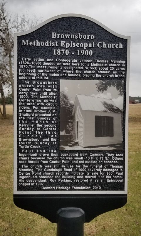
The Brownsboro church was with Center Point from its early days until after 1900. The Methodist Conference served the area with circuit riders. For example, in 1886 Brother J.M. Shufford preached on the first Sunday of the month at Kerrville, the second Sunday at Center Point, the third Sunday at Brownsboro, and the fourth Sunday at Turtle Creek.
Paul and Ida Ingenhuett drove their buckboard from Comfort. They took chairs because the church was small (13 ft. x 13 ft.). Others rode horses from Center Point and sat outside on benches.
The church was still in use for the funeral of Thomas Manning. The Guadalupe flood of 1900 severely damaged it. Center Point church records indicate its sale for $60. Paul Ingenhuett obtained the building and moved it to his home. His descendant, Roy Perkins, restored it as an Episcopal chapel in 1997.
Erected 2010 by Comfort Heritage Foundation.
Topics. This historical marker is listed in this topic list: Churches & Religion. A significant historical year for this entry is 1870.
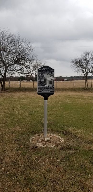
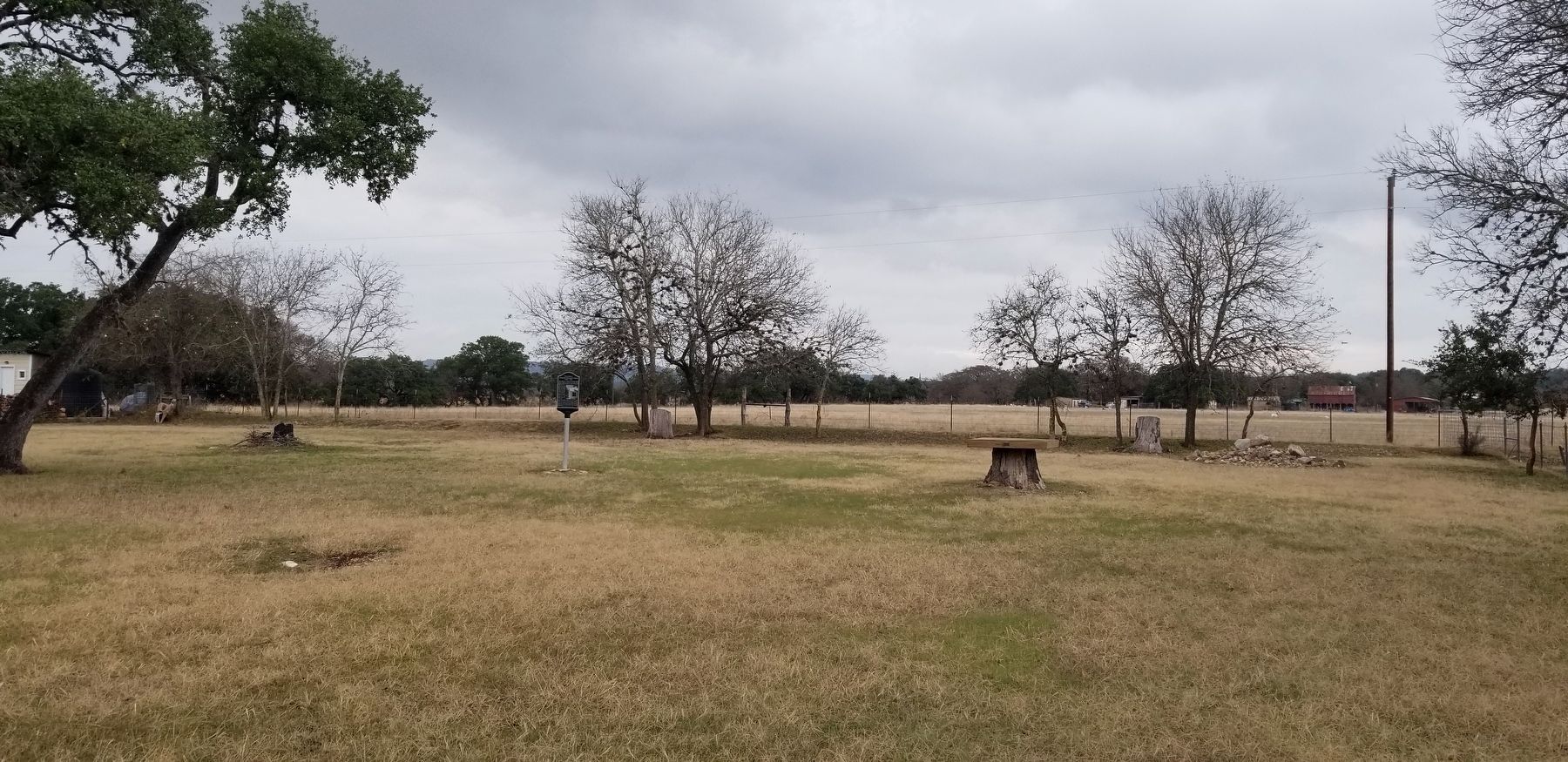
Location. 29° 58.395′ N, 98° 49.813′ W. Marker is near Comfort, Texas, in Kendall County. Marker is on River Bend Road, 1½ miles south of Farm to Market Road 473, on the left when traveling east. The marker is located to the left side of the cemetery. Touch for map. Marker is at or near this postal address: 133 River Bend Road, Comfort TX 78013, United States of America. Touch for directions.
Other nearby markers. At least 8 other markers are within 2 miles of this marker, measured as the crow flies. Brownsboro Cemetery (within shouting distance of this marker); Brownsboro Community (approx. ¼ mile away); History of the Railroad (approx. ¼ mile away); History of the Kendall County Park System (approx. ¼ mile away); Army Spc. James M. Kiehl Memorial (approx. 0.3 miles away); James Kiehl River Bend Park (approx. 0.3 miles away); A Recovering Prairie (approx. 0.3 miles away); Waring Schoolhouse (approx. 2.1 miles away). Touch for a list and map of all markers in Comfort.
Also see . . . Brownsboro, TX (Kendall County).
Brownsboro was on the north bank of the Guadalupe River and River Bend Road, just southeast of Farm Road 473 and three miles east of Comfort in western Kendall County. The settlement, one of the county's earliest, had a public school from 1848 to 1944 and its own post office. The Nichols Ranch was about 1½ miles north of the community. The Fredericksburg and Northern Railway built through the area in 1913 and later established a flag stop at the ranch. During the 1980s the Brownsboro cemetery and a few scattered houses were all that remained of the community. Source: The Handbook of Texas(Submitted on December 19, 2021, by James Hulse of Medina, Texas.)
Credits. This page was last revised on December 19, 2021. It was originally submitted on December 18, 2021, by James Hulse of Medina, Texas. This page has been viewed 133 times since then and 10 times this year. Photos: 1, 2, 3. submitted on December 19, 2021, by James Hulse of Medina, Texas.


