Laguna Hills in Orange County, California — The American West (Pacific Coastal)
History
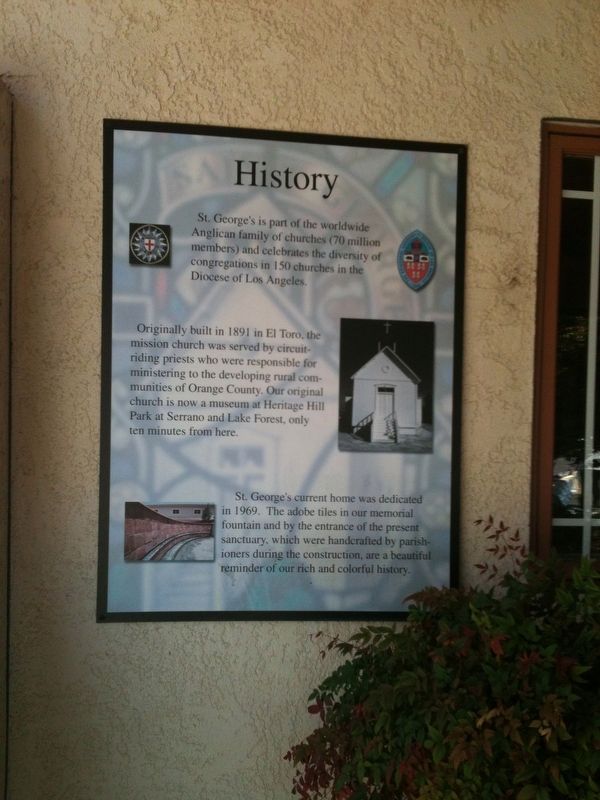
Photographed by Adam Margolis, April 28, 2012
1. History Marker
Topics. This historical marker is listed in this topic list: Religion & Religious Structures. A significant historical year for this entry is 1891.
Location. 33° 36.968′ N, 117° 42.639′ W. Marker is in Laguna Hills, California, in Orange County. It can be reached from Avenida De La Carlota. Touch for map. Marker is at or near this postal address: 23802 Avenida De La Carlota, Laguna Hills CA 92653, United States of America. Touch for directions.

Regionally,
this page online
Other nearby markers. At least 8 other markers are within 3 miles of this marker, measured as the crow flies: Juan Avila Adobe (approx. one mile away); Mormon Battalion Marker (approx. 1.1 miles away); Aliso Creek Adobes (approx. 1.1 miles away); Sycamore Park (approx. 1.2 miles away); Costeau Pit (approx. 1.6 miles away); Fossil Reef (approx. 1.9 miles away); El Toro Memorial Park (approx. 2.3 miles away); In Honor of All Veterans (approx. 2.4 miles away). Touch for a list and map of all markers in Laguna Hills.
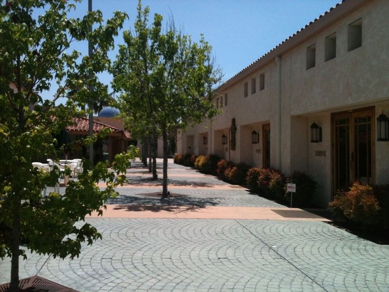
Photographed by Adam Margolis, April 28, 2012
2. History Marker
Credits. This page was last revised on December 31, 2021. It was originally submitted on December 19, 2021, by Adam Margolis of Mission Viejo, California. This page has been viewed 371 times since then and 31 times this year. Photos: 1, 2. submitted on December 19, 2021, by Adam Margolis of Mission Viejo, California. • Andrew Ruppenstein was the editor who published this page.
