Havre de Grace in Harford County, Maryland — The American Northeast (Mid-Atlantic)
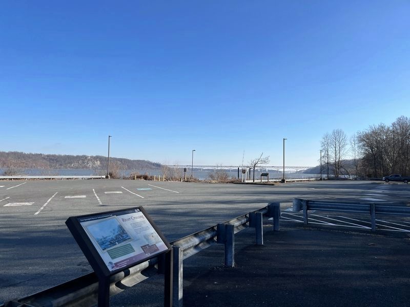
River Crossing
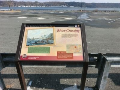
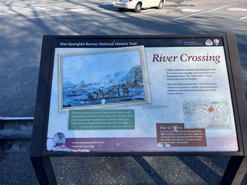
Star-Spangled Banner National Historic Trail
— War of 1812 —
When the British attacked May 3, 1813, they helped themselves to a barrel of whiskey from John Stump’s warehouse, then torched the building with its 500 barrels of flour.
Day of Terror
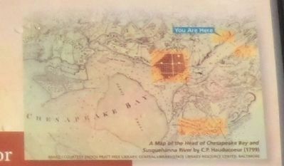
In one day, British raiders burned two-thirds of the buildings in Havre de Grace, raided a warehouse here, and destroyed the Principio Iron Works. Port Deposit—its battery visible from the water—was spared.
(Inscription under the painting in the upper left)
A Ferry Scene on the Susquehanna at Wright’s Ferry,
near Havre de Grace, ca. 1811 by Pavel Petrovich Svinin
Image by the Metropolitan Museum of Art
“The Boats which I sent up the Susquehanna returned after destroying five vessels in it and a large Store of Flour, when everything being completed to my utmost wishes, the whole division re-embarked and returned to the Ships…”
-British Rear Adm. George Cockburn to Adm. John B. Warren, May 3, 1813.
Erected by National Park Service-United States Department of the Interior.
Topics and series. This historical marker is listed in this topic list: War of 1812 . In addition, it is included in the Star Spangled Banner National Historic Trail series list. A significant historical date for this entry is May 3, 1813.
Location. 39° 35.862′ N, 76° 7.686′ W. Marker is in Havre de Grace, Maryland, in Harford County. Marker is on Lapidum Road. Touch for map. Marker is in this post office area: Havre de Grace MD 21078, United States of America. Touch for directions.
Other nearby markers. At least 8 other markers are within walking distance of this marker. Susquehanna Hotel (within shouting distance of this marker); Susquehanna State Park (about 300 feet away, measured in a direct line); Canal Lock #9 (about 500 feet away); Lapidum - "A Place of Stones" (about 500 feet away); Jacob Tome, Town Father (approx. 0.8 miles away); On Alert (approx. 0.8 miles away); Snow's Battery (approx. 0.8 miles away); a different marker also named Snow’s Battery (approx. 0.8 miles away). Touch for a list and map of all markers in Havre de Grace.
Credits. This page was last revised on January 24, 2023. It was originally submitted on January 17, 2015, by Don Morfe of Baltimore, Maryland. This page has been viewed 469 times since then and 24 times this year. Last updated on December 20, 2021, by Carl Gordon Moore Jr. of North East, Maryland. Photos: 1, 2, 3. submitted on January 17, 2015, by Don Morfe of Baltimore, Maryland. 4, 5. submitted on January 13, 2023, by Adam Margolis of Mission Viejo, California. 6. submitted on December 20, 2021, by Carl Gordon Moore Jr. of North East, Maryland. • Bill Pfingsten was the editor who published this page.
