San Juan Capistrano in Orange County, California — The American West (Pacific Coastal)
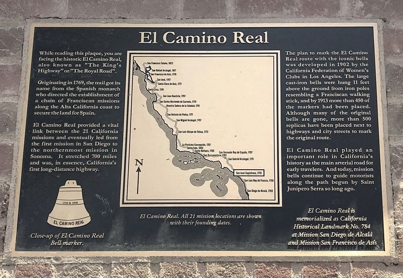
El Camino Real
While reading this plaque, you are facing the historic El Camino Real, also known as "the King's Highway or "The Royal Road".
Originating in 1769, the trail got its name from the Spanish monarch who directed the establishment of a chain of Franciscan missions along the Alta California coast to secure the land for Spain.
El Camino Real provided a vital link between the 21 California missions and eventually led from the first mission in San Diego to the northernmost mission in Sonoma. It stretched 700 miles and was, in essence, California's first long-distance highway.
The plan to mark the El Camino Real route with the icon bells was developed in 1902 by the California Federation of Women's Clubs in Los Angeles. The large cast-iron bells were hung 11 feet above the ground from iron poles resembling a Franciscan walking stick, and by 1913 more than 450 of the markers had been placed. Although many of the original bells are gone, more than 500 replicas have been places next to highways and city streets to mark the original route.
El Camino Real played an important role in California's history as the main arterial road for early travelers. And today, mission bells continue to guide motorists along the path begun by Saint Junipero Serra long ago.
Topics. This historical marker is listed in these topic lists: Churches & Religion • Exploration • Hispanic Americans • Settlements & Settlers. A significant historical year for this entry is 1769.
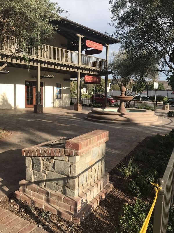
Location. 33° 30.122′ N, 117° 39.695′ W. Marker is in San Juan Capistrano, California, in Orange County. Marker is on El Camino Real just north of Ortega Highway, on the right when traveling north. Touch for map. Marker is at or near this postal address: 26851 Ortega Hwy, San Juan Capistrano CA 92675, United States of America. Touch for directions.
Other nearby markers. At least 8 other markers are within walking distance of this marker. El Camino Real Bell (within shouting distance of this marker); Mission San Juan Capistrano (about 300 feet away, measured in a direct line); The Founding Documents of Mission San Juan Capistrano (about 300 feet away); a different marker also named Mission San Juan Capistrano (about 300 feet away); San Juan Capistrano Mission (about 400 feet away); Metalworking Furnaces (about 400 feet away); Blas Aguilar Adobe (about 400 feet away); Starting in The Mid 19th Century (about 400 feet away). Touch for a list and map of all markers in San Juan Capistrano.
Credits. This page was last revised on December 29, 2021. It was originally submitted on December 21, 2021, by Adam Margolis of Mission Viejo, California. This page has been viewed 396 times since then and 77 times this year. Photos: 1, 2. submitted on December 21, 2021, by Adam Margolis of Mission Viejo, California. • Devry Becker Jones was the editor who published this page.

